![]()

|
|
|
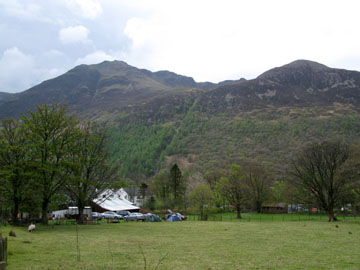
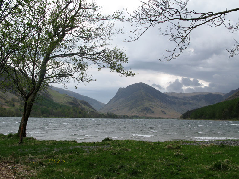
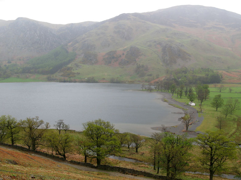
| Date & Time: Bank Holiday Sunday 4th May 2008. 11.53 am start. Location of Start : Buttermere N.Trust car park, Cumbria, Uk. ( NY 173 173 ) Places visited : Buttermere Village, Bleaberry Tarn, Red Pike, High Stile, High Crag, Gamlin Edge, Scarth Gap path back to the lake and a return via the southern side of Buttermere. Walk details : 7.25 mls, 2900 ft of ascent, 5 hrs 45 mins. Highest point : High Stile 2,644ft ( 807m)Walked with : Our daughter Jen and her friend Jen, Ann and the dogs, Harry and Bethan. Weather : Nice to start, even some sunshine, but downhill all the way from the highest point ! Red Pike and High Stile from Buttermere Village |
|
|
The girls wanted one big fell walk while they were up in the Lakes for their long weekend. The High Stile ridge walk typifies everything that is classic in the Lake District and it is just up the valley from our home. Big views, a great climb and ridge walk, lakes, rivers, high tarns, classic rock plus lunch at the top - exactly what was required.
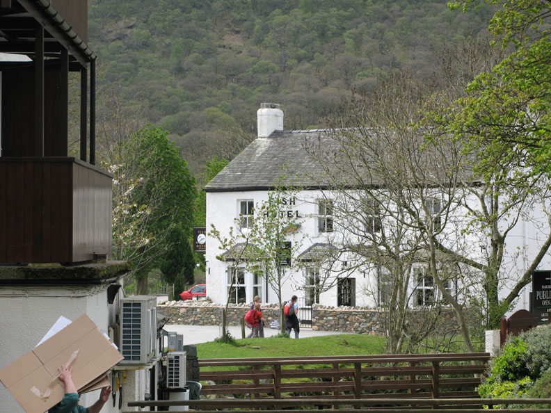
The walk starts in the village and having stopped to take a photo or two, I noticed the girls are already down at the Fish Hotel.
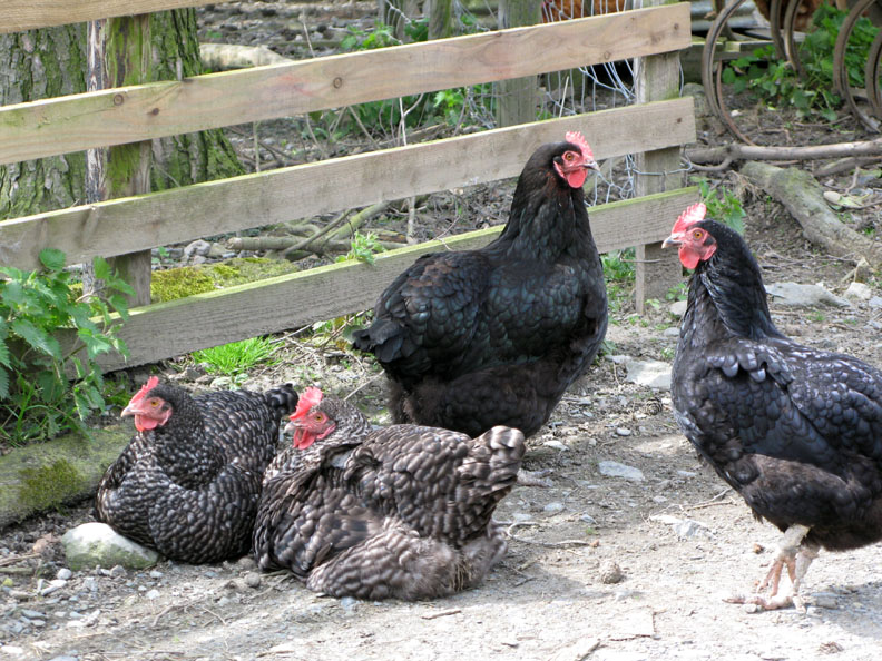
Four Buttermere residents. In a way this photo is a big thank you to these ladies who have provided Ann and I with many free range eggs over the years.
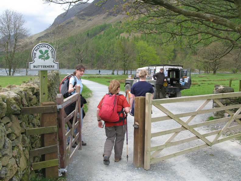
After leaving the village we crossed the valley to the lakeside. For regular walkers, the National Trust membership Land Rover will be a familiar sight..
Classic Fleetwith Pike from Buttermere. From the waves on the lake you can judge the strength of the wind today. We thought twice about which direction to do the walk but in view of the forecast, which was for decreasing winds after midday, we stayed with our original plan as the climb to Red Pike is a classic route.
The weather is clear and dry and the view to Grasmoor over the village is excellent.
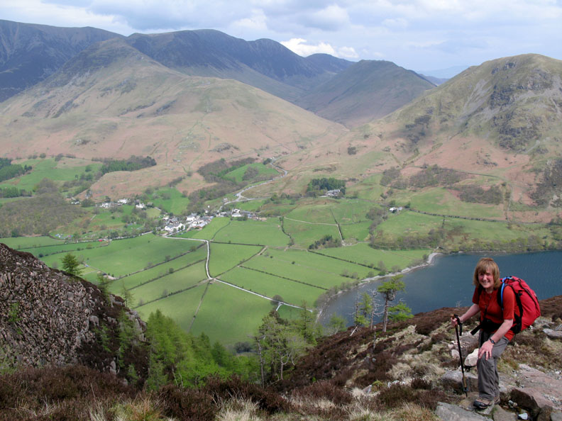
As we near the tarn the path levels out. The weather is rather hazy so long distance views are not so clear.
Ann pauses for my photo of her and the North Western fells. Hang on, are we warm from the climbing, or is the sun coming out ?
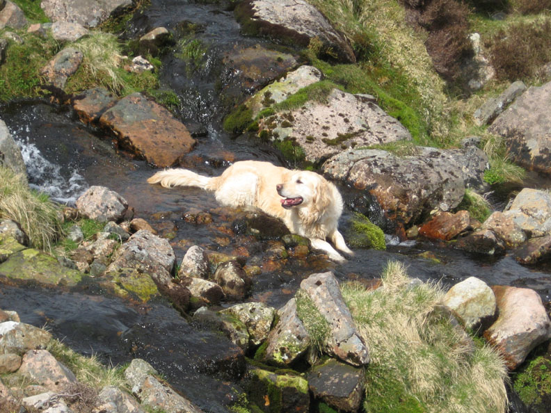
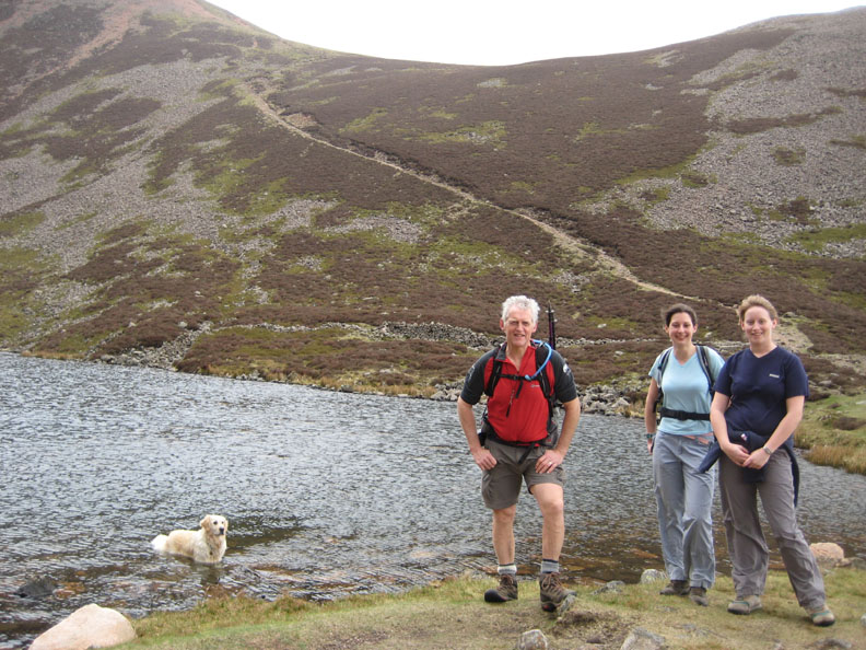
Bethan is certainly hot, and she appreciates a dip in the cool water.
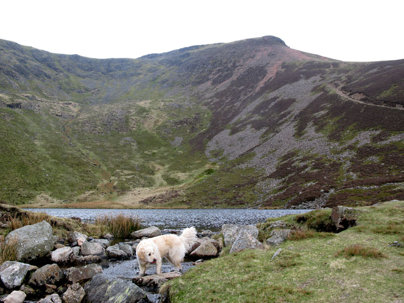
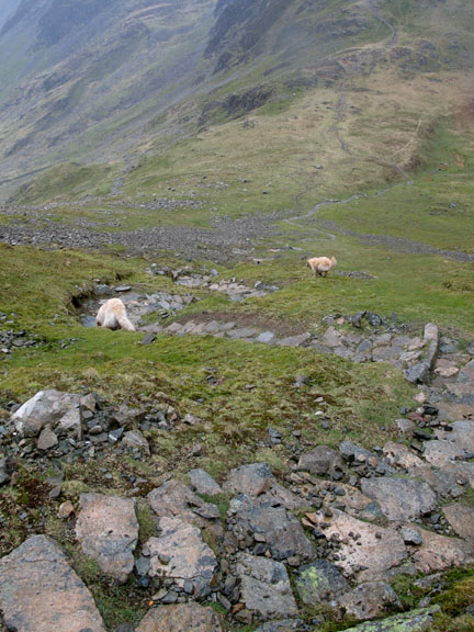
Harry hangs on till he reaches Bleaberry Tarn where he can have a good swim.
We pass on a swim ourselves. It's warm up here but there's still quite a strong breeze and that water is rather cold !
A wide shot of Bleaberry Tarn with the backdrop of High Stile summit and it's crags. That grey cloud gathering behind the fell doesn't look too good.
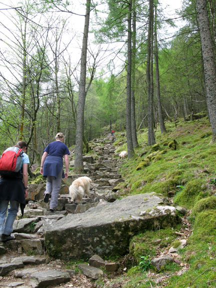
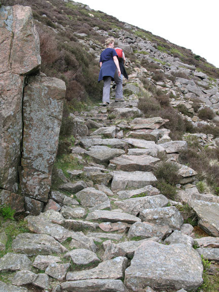
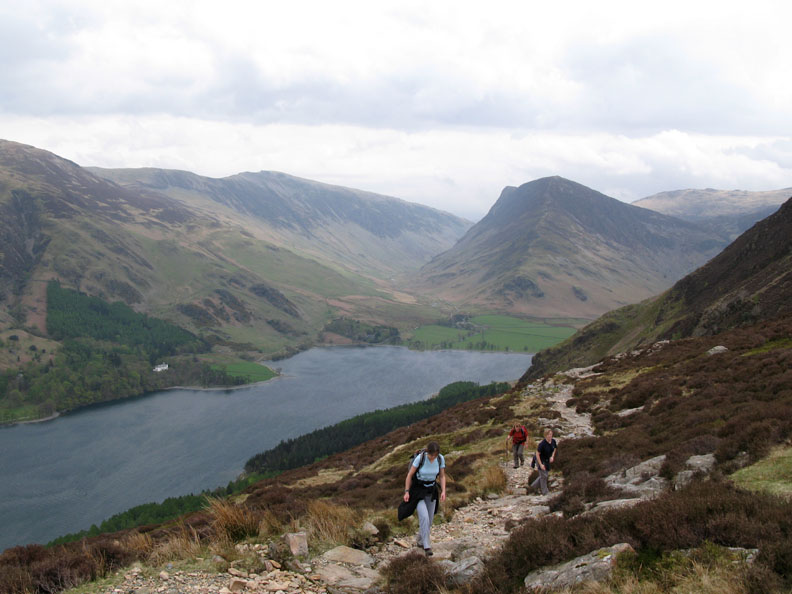
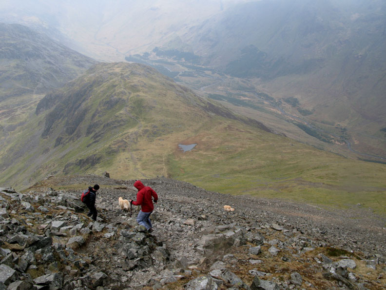
The path fairies have been working on this path too, giving us a steady but easy climb up towards Red Pike.
However, the constructed path doesn't reach all the way and this last section of the climb is quite loose and slippery.
The windy summit. There's evidence of a little rain in the air as Jen 's trousers are starting to change colour.
Another decision point on the walk. Harry and Bethan wait while we have a think. We could turn our back on the wind and walk back to the house, or follow the Lingcomb Edge down to Buttermere, but the weather is ok and we stick to our plans.
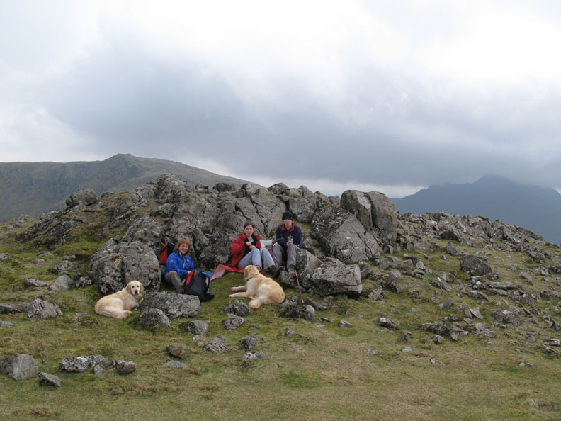
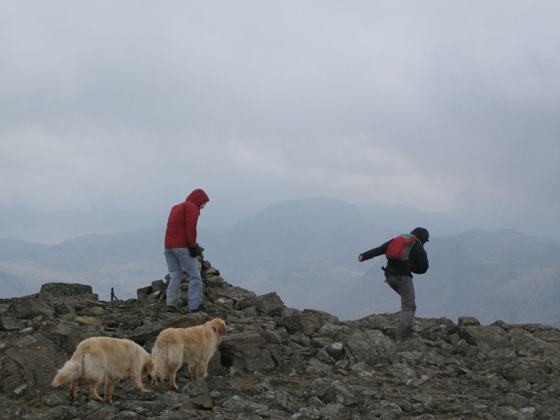
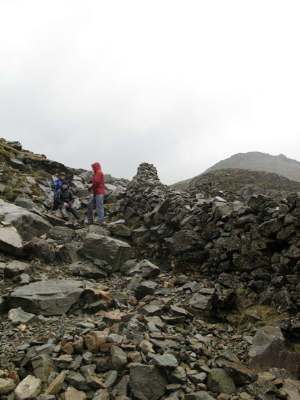
Having reached Red Pike top we move to the shelter of some low crags to enjoy our lunch.
Jen and Jen set off across the broad ridge walk to High Stile.
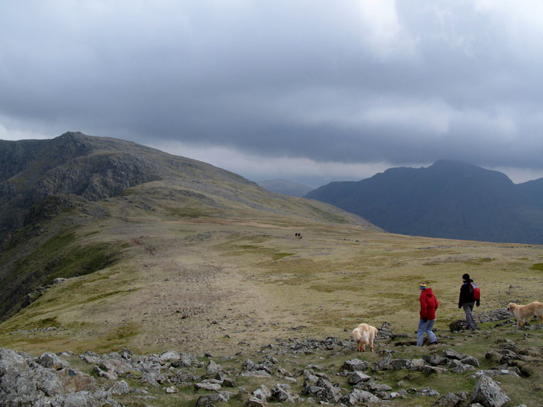
On the way across the ridge we can look back at our ascent route from the tarn diagonally up across Red Pike's outlier, Dodd.
High Stile summit was a very windy place, not somewhere to linger. The wind up here on the high ridge was really buffeting (as they say in the weather forecast).
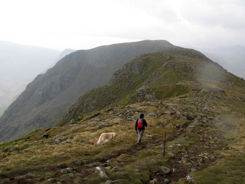
As we continued along to High Crag the wind began to drop but the clouds are gathering and it is starting to rain properly, which wasn't particularly forecasted.
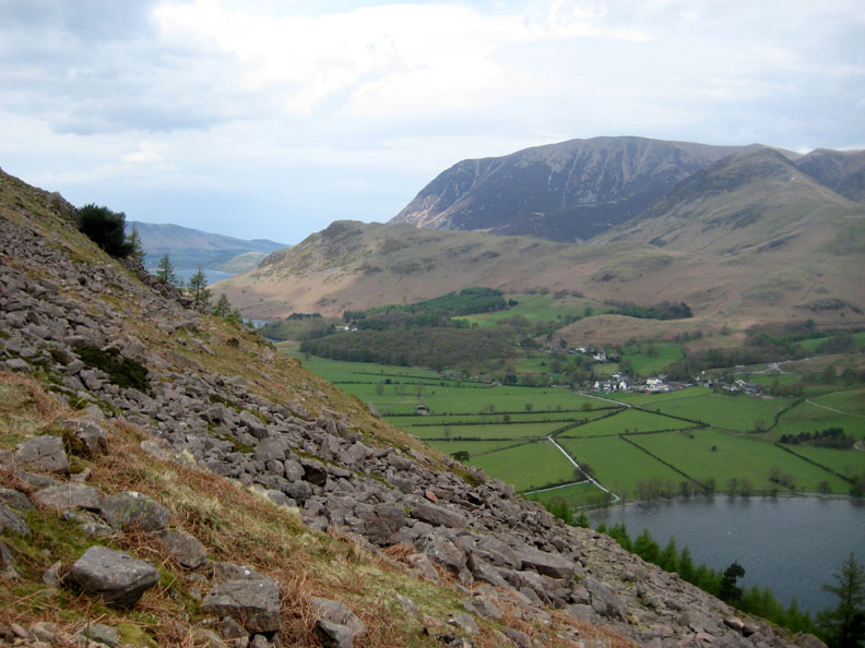
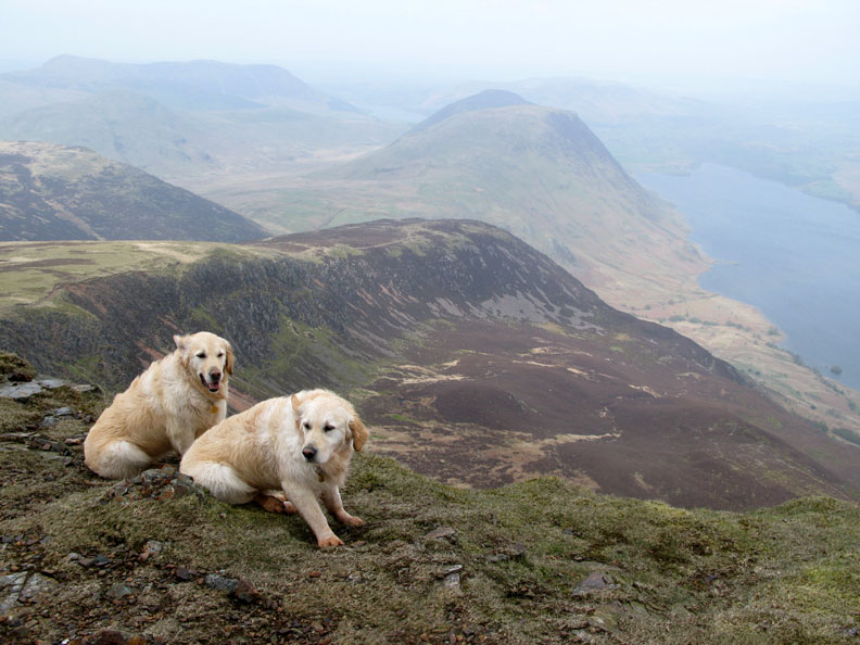
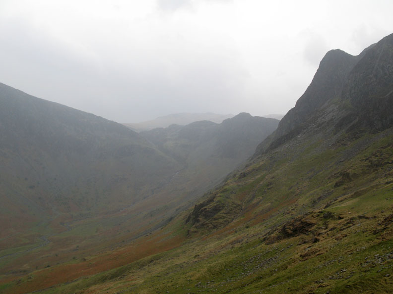
Looking back at High Stile from High Crag. That cloud base is getting lower but we still have reasonable views, this one includes Ennerdale Water on the left.
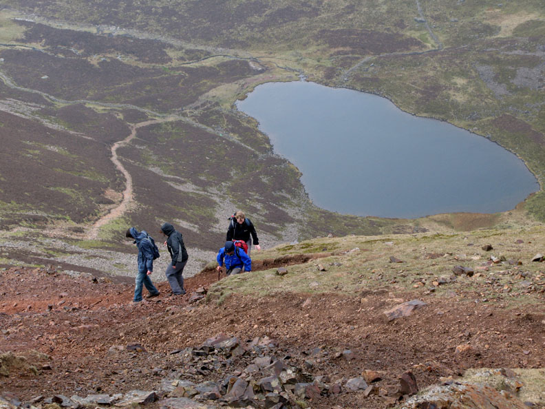
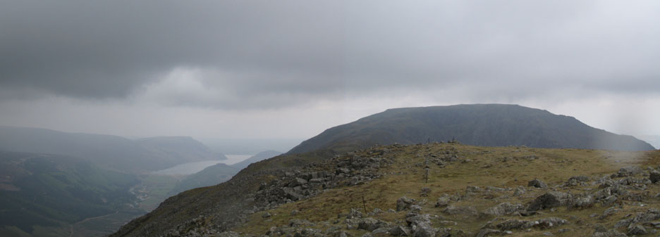
Ahead is the intermediate summit of Seat, and the next fell on the Buttermere circuit, Haystacks. The top of Ennerdale Valley to the right has all it's major tree cover removed but there is some natural regeneration going on down there. From our lofty height we descend rapidly down the Gamlin End path, but will turn left and make for the Scarth Gap path rather than continue on over Seat.
Our Jen (in black) sits on a rock to demonstrate how slippery it was . . . that's her excuse!
That moisture in the air developed steadily into rain, and now it's pouring and our waterproofs are earning their keep.
Nearly down to Buttermere Lakeside at the bottom of the Scarth Gap path.
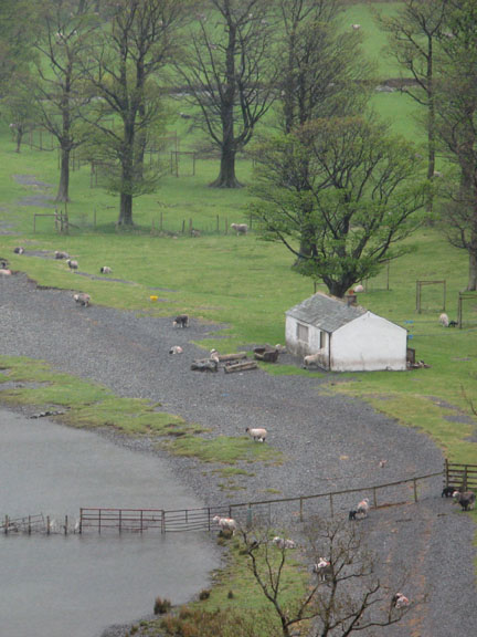
[ Hasness features on the front of the O.S. 1:25k map but their picture has more sunshine ]
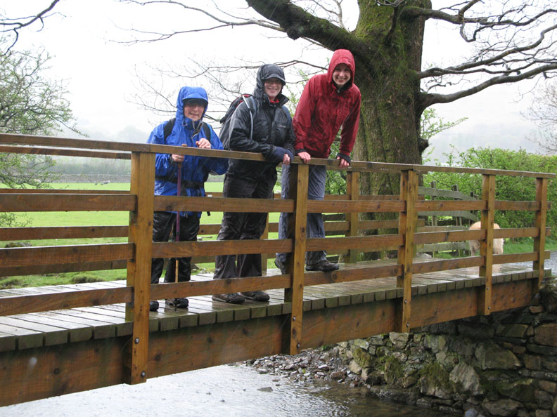
The circuit complete . . . Buttermere Dubbs bridge . . . did I say that it rained on us today ?
|
- - - o o o - - - Technical note: Pictures taken with my Cannon G7 or Ann's Ixus Digital cameras. Resized in Photoshop, and built up on a Dreamweaver web builder. This site best viewed with . . . better weather for our Bank Holiday visitors . . . but they seemed to enjoy it anyway ! © RmH.2007 # Email me direct # Scribble in my Guest book (front page) Previous walk - 3rd May 2008 Low Fell with Jen and Jen A previous time up here - 15th April 2006 High Stile Ridge on the OFC's 5th Birthday
|