![]()

|
|
|
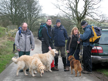
| Date & Time: Monday 7th April 2008. 9.40 am start. Location of Start : Fell road south of Orthwaite hamlet, Cumbria, Uk. ( NY 253 337 ) Places visited : Orthwaite, Brokle Crags, Great Cockup, Trusmador, Meal Fell, Great Sca Fell, Little Sca Fell, Brae Fell, Lowthwaite Fell, Longlands Fell, Longlands. Walk details : 6.1 mls, 2100 ft of ascent, 5 hrs 5 mins. Highest point : Great Sca Fell 2,131ft ( 651m)Walked with : Andrew M, John, Paul, Nick, Ann and the dogs, Polly, Harry and Bethan. Weather : Overcast but fine morning with a deterioration forecasted in the afternoon (i.e. snow) The group photo at the start after Paul (left) realised he was "two boots short of an outing" |
|
|
Andrew Mason is on the home run for his Wainwright Round of 214 Lakeland fells. John, Paul, Nick, Ann and myself were invited to join him. Six people, three dogs, but only five pairs of boots between us. Ooops ! What a Cockup !
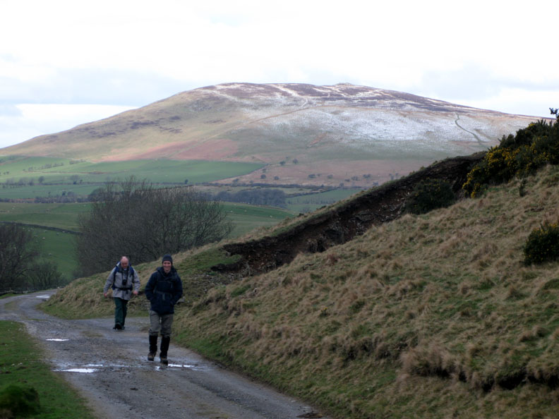
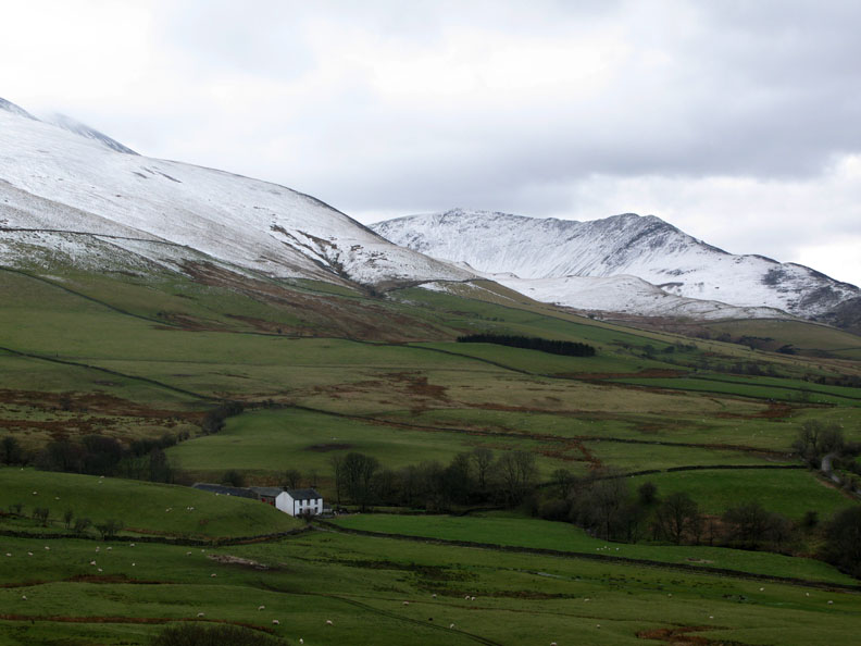
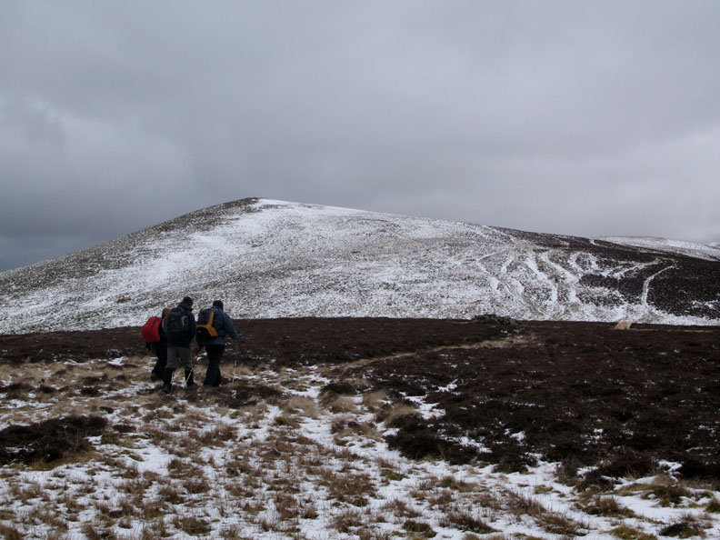
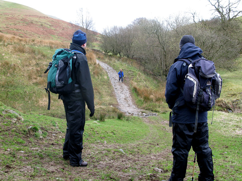
Having more than one cars, we made this a linear walk starting at Orthwaite, a hamlet behind the main Skiddaw group of Fells, and ending up at Longlands, a hamlet a few miles north. Here Nick and Paul set out along the farm track below Orthwaite Bank, with Binsey Fell in the background.
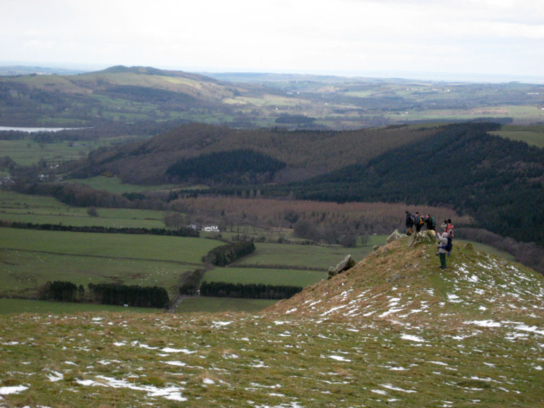
Brockle Crags is a rock outcrop overlooking the Dash Beck valley. It is a volcanic intrusion into a region of Skiddaw Slate geology . . . . and makes quite a good viewpoint too.
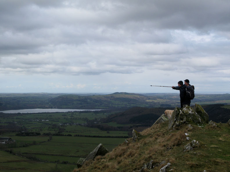
John points out the local fells to Nick.
Mirkholme Farm nestled in the valley with the snowy slopes of Ullock Pike in the background.
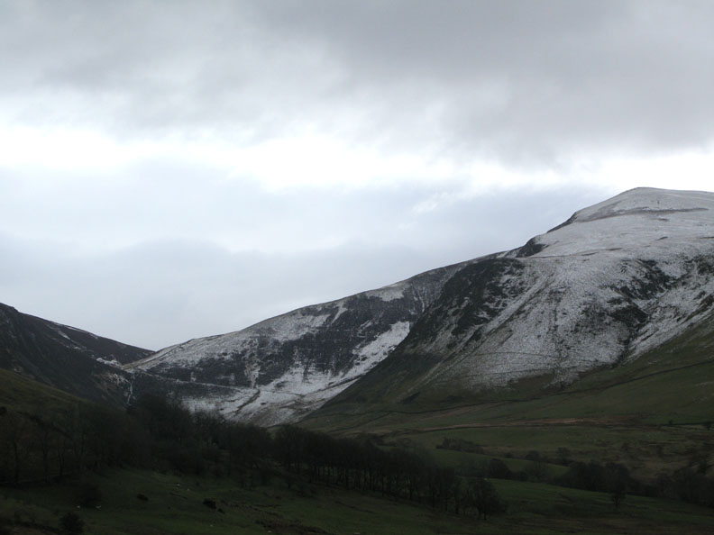
From Brockle Crags they got their first view of Dash Falls on the left. Bakestall dominates the view ahead with the track to Skiddaw House contouring to it by the waterfall.
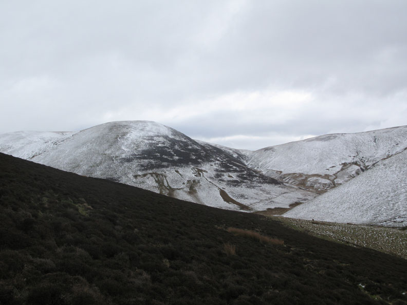
A short distance further and we leave the main track and strike up the side of Great Cockup Fell. Ahead is Burn Todd fell with the slopes up to Knott behind and to the left.
From this higher vantage point we could now see Lonscale fell behind Dash Falls.
We reached the top of the ridge that leads to Great Cockup ahead. On the map it marks "Grouse Butts" as being a prominent landmark ahead.
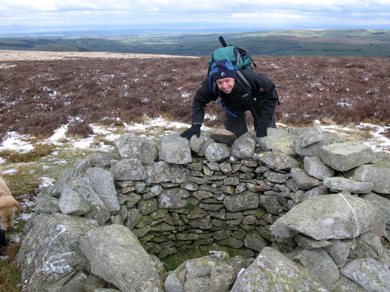
They are so well built that they are difficult to miss. The ground has been excavated to provide stone to line the hole, so that grouse shooters could hide from the unfortunate birds.
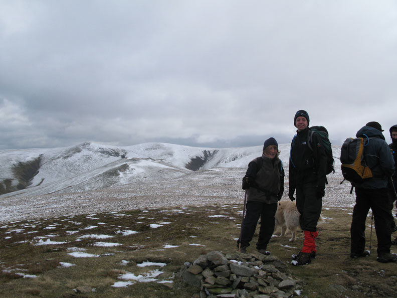
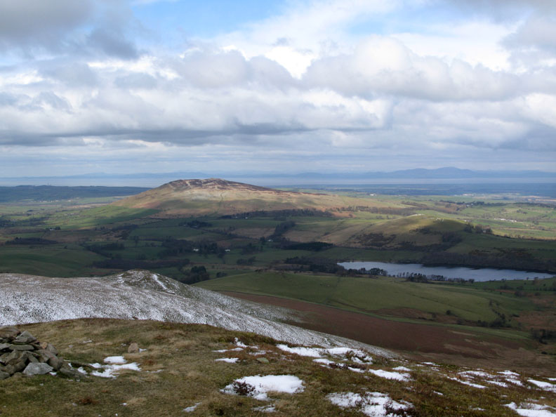
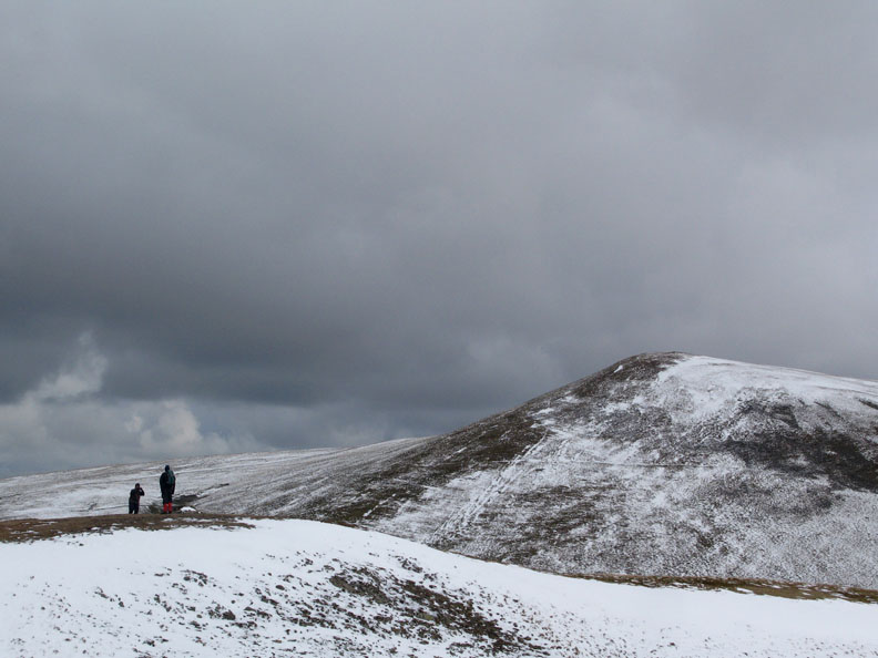
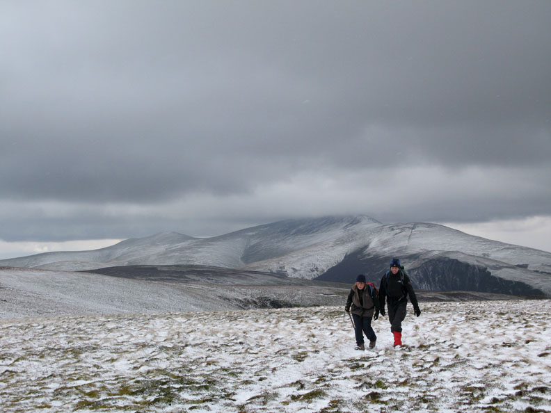
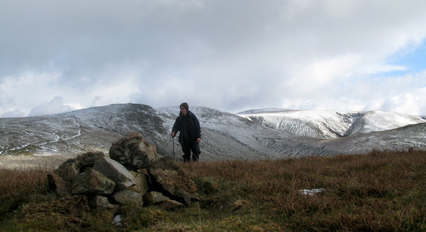
Great Cockup summit cannot boast a big cairn, but certainly has a big view. The highest ground to the left of Ann in Great Sca Fell with the Meal Fell in front of it. That's our target for today.
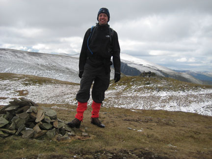
Paul stands next to the summit cairn, this time with Bakestall and Skiddaw behind.
His view . . . . Binsey, Overwater and the Scottish coastline beyond.
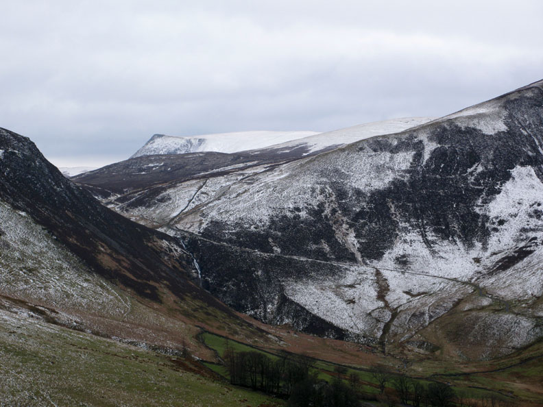
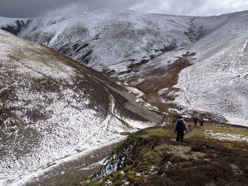
The ground between Cockup and Meal Fell is bisected by the steep cut of Trusmadoor, a deep, incised dry valley. It's water were stolen when Burn Todd Gill decided to flow south west towards the Dash Gill valley rather than north west towards Overwater.
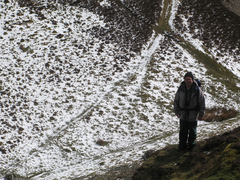
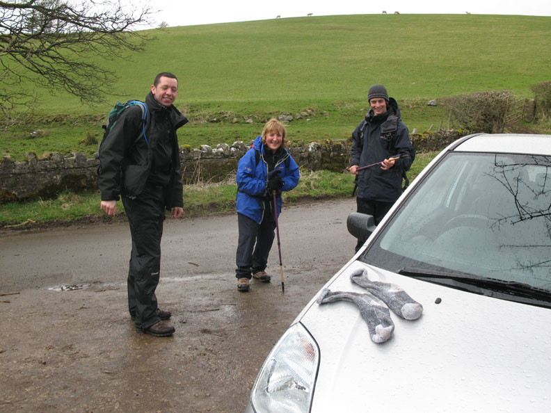
Paul on the high ground above Trusmadoor. He had forgotten to pack his fell boots into the car, but with the use of a spare pair of wool socks his town shoes had got him this far. The addition of a pair of instep crampons allowed him a safe descent of the grassy fell but he decided the snow covered tops ahead would be pushing the footwear too far. After saying fare well he made his way down to his car at Longlands. John had to depart for southern commitments at this point too and so descended left via the Burn Tod valley, leaving just four of us in the party from here on.
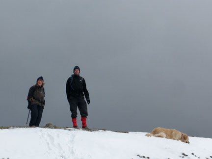
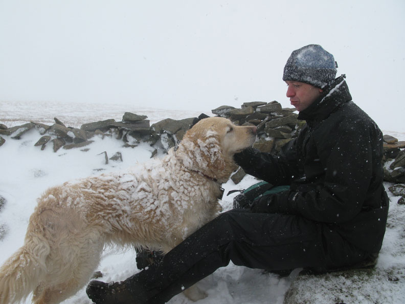
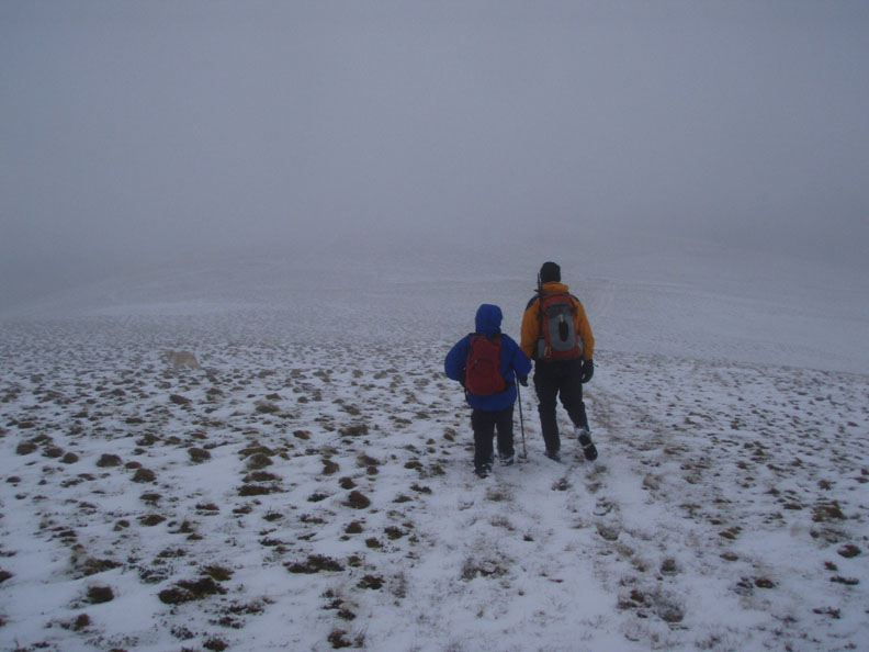
Nick greets the dogs as they reached the shelter on Meal Fell, our second Wainwright summit.
Looking up to Little Sca Fell as the sky darkens somewhat. On the true summit Ann has found a camera opportunity, and I must admit, so did I.
We followed the moorland track more or less straight up from Meal Fell. Ann and Andrew stop to admire the view (stop for a rest !).
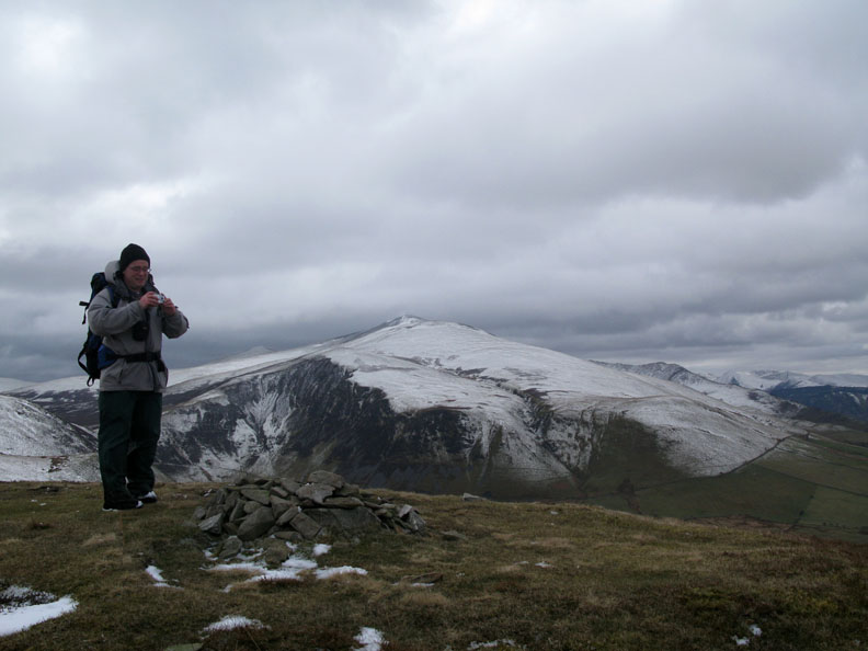
Skiddaw Little Man, Skiddaw in cloud, and Bakestall as Ann and Andrew near the summit of Great Sca Fell. Note: Don't confuse Great Sca Fell with it's more illustrious namesake further south i.e. the one next to Scafell Pike.
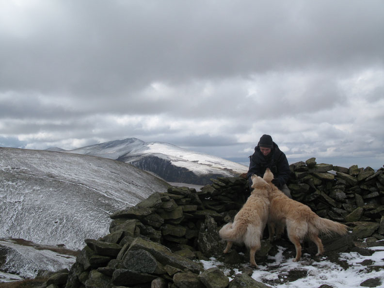
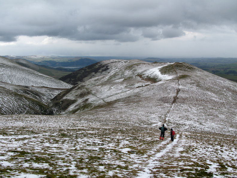
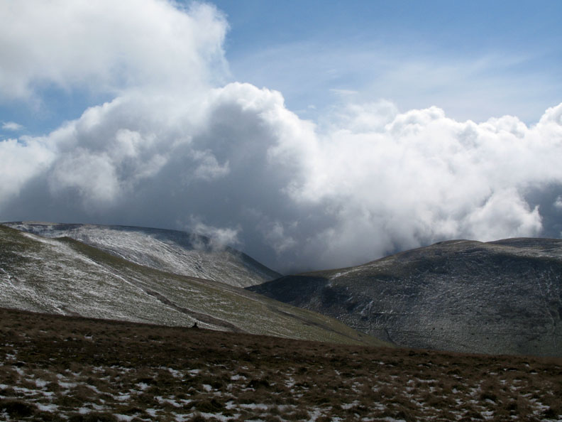
Declining a twenty minute detour to Knott, we head west and make Little Sca Fell just as the weather closes in.
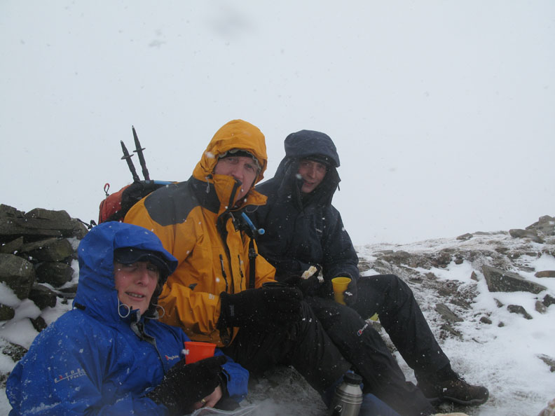
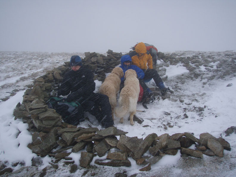
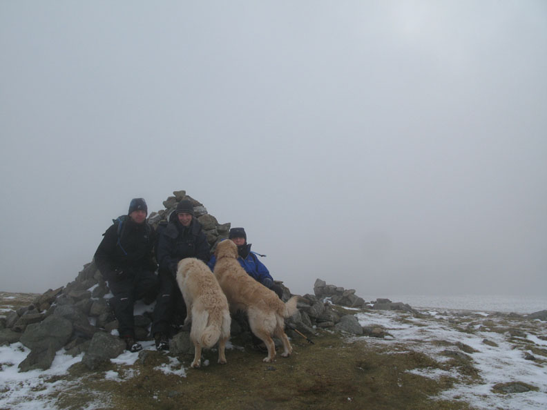
The snow shower was accompanied, as it often is, by a strengthening of the wind so we welcomed the shelter, however small, as the best place for lunch on these exposed westerly facing slopes.
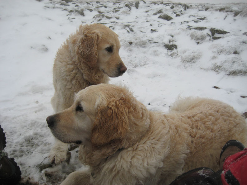
Harry and Bethan waiting for their lunch.
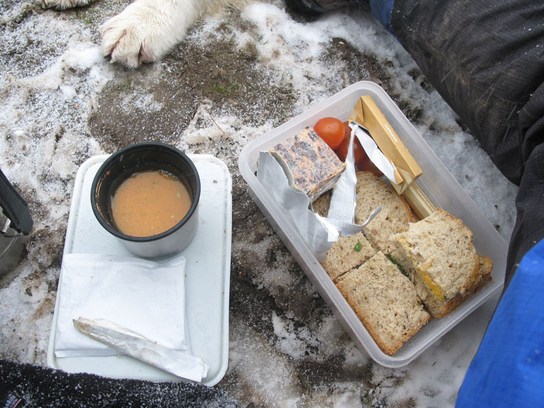
These were ours - not so much a snack as a royal lunch - up here in the snow. As John had already left we didn't feel we had to offer to share the Blacksticks Blue Cheese sandwich !
Did I say something about the exposed westerly facing slopes and the minimal shelter ? ( photo by Nick )
Our two Huskies curled up and seemingly unaffected by the elements.
Lunch over, someone said Andrew had a spare sandwich !
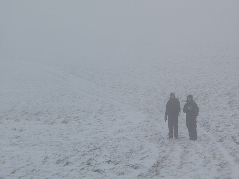
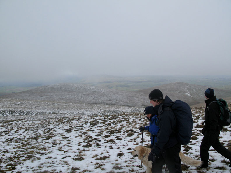
Navigation over the next short section to Brae Fell needed a little extra care.
The 'cairn' is out there somewhere. ( photo by Nick again )
Brae Fell top as the weather eased.
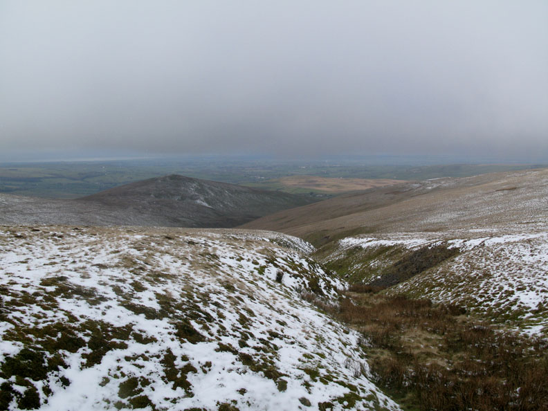
The home run now as we contoured round to Lowthwaite Fell to avoid dropping into Charlton Gill.
Down below cloud level as we make an easy crossing of the top part of the small ravine.
Sunshine returns giving the departing clouds some interesting shades and colours. Click here or on the photo for wider annotated panorama
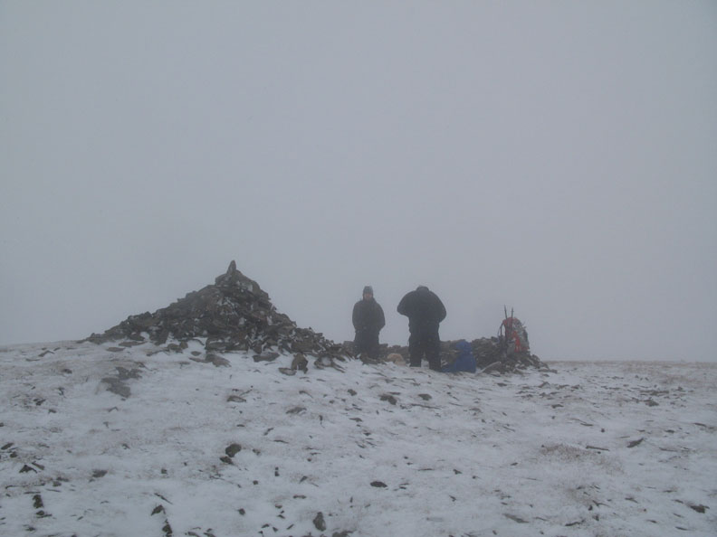
Nick approaches the mighty summit cairn of Lowthwaite Fell. At eight inches high I feel the camera angle rather over emphasises it's significance. Perhaps this is why it's not an AW summit ?
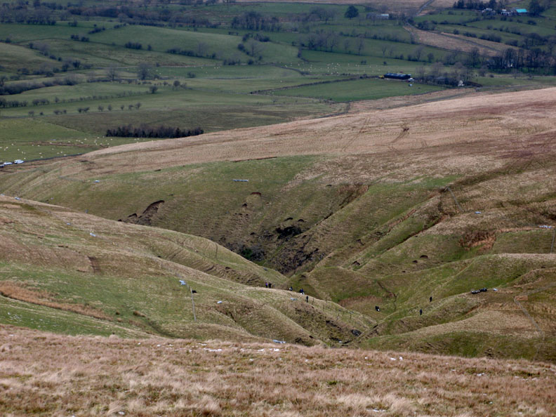
On the way down to Longlands, our last summit of the day we could see activity in the lower section of Charlton Gill. The Voluntary Wardens are assisting in a tree planting scheme. Click here for Ann Bowker's photos as she is one of the dots down there today.
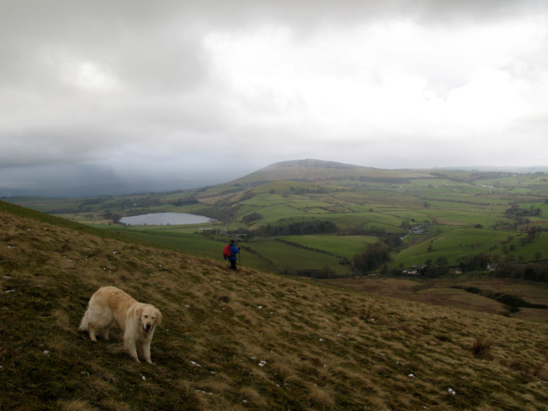
Ann descending Longlands Fell on the way back to the cars parked near the houses below.
The perspective again understates Ann's size this time as the boys wait at the final gate.
An excellent winter walk complete. Thanks to John and Paul for their company. ( Paul represented here by the wet wool socks he borrowed and left on the car at the end of the day )
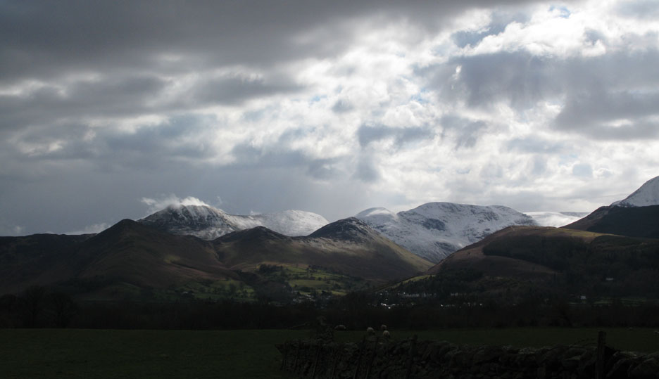
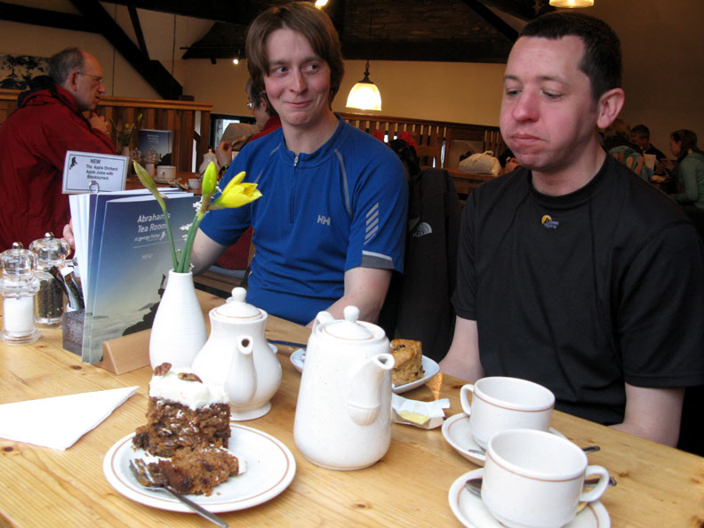
Sometimes at the end of the walk it is nice to take some refreshment. Today we decide a cup of tea at Abraham's Restaurant in Fishers would be a good place. This is the view of the North Western Fells as we drive towards Keswick.
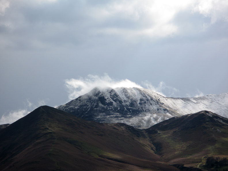
A close up of Causey Pike with a rather dramatic cloud effect.
Captions please . . . . . . I thought it could be . . . . . " I'm pig sick, I wish I'd ordered his carrot cake instead of my scones !"
|
- - - o o o - - - Technical note: Pictures taken with my Cannon G7 or Ann's Ixus Digital cameras. Resized in Photoshop, and built up on a Dreamweaver web builder. This site best viewed with . . . an extra slice of Carrot Cake for someone ! © RmH.2007 # Email me direct # Scribble in my Guest book (front page) Previous walk - 5th April 2008 Robinson as winter returns A previous time up here - 15th October 2005 Longlands, Knott and Brae with Jill
|