![]()

|
|
|
|
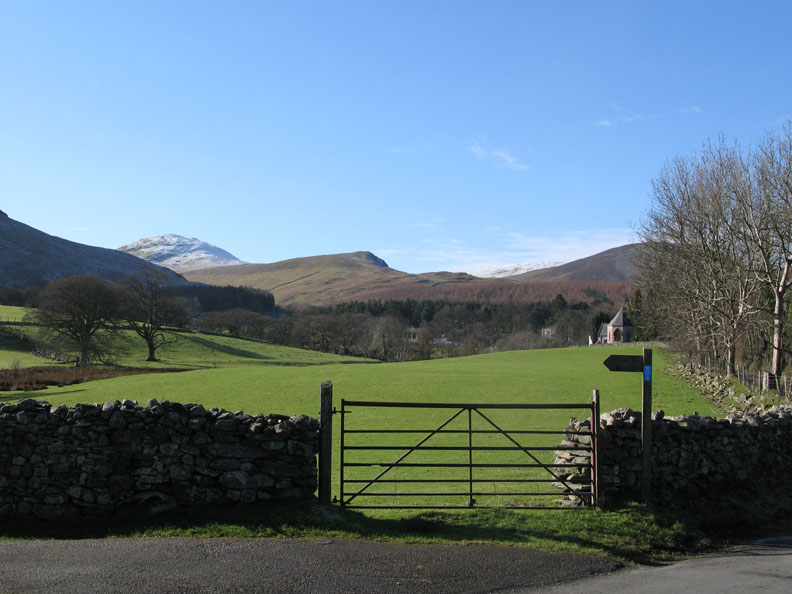
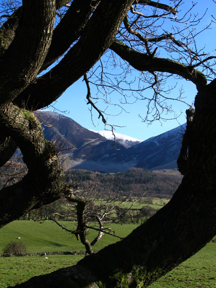
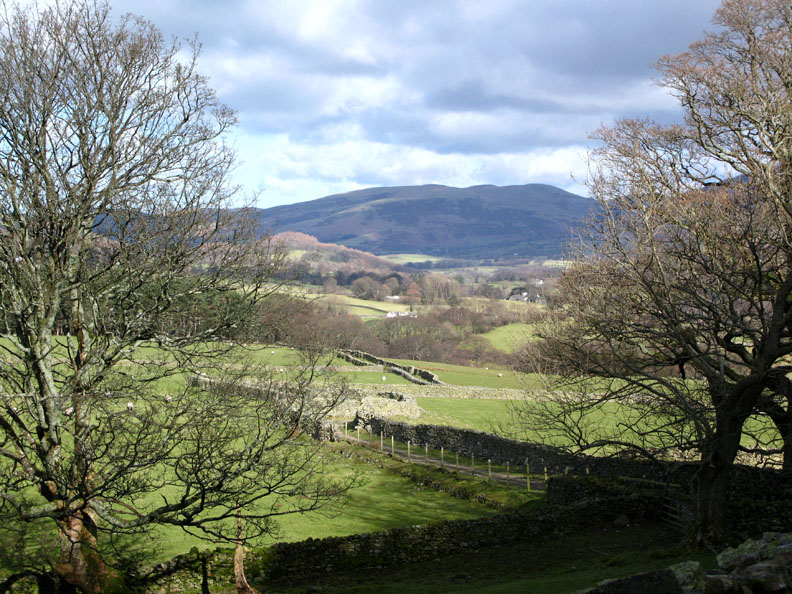
Date & Time: Tuesday 4th March 2008. 10.15 am start. Location of Start : The red phone box, Loweswater, Cumbria, Uk. ( NY 143 211 ) Places visited : Kirk Head, Mosedale pool, Hen Comb, Floutern Tarn and back via the Floutern Pass bridle way across the Moss and down Mosedale. Walk details : 7 mls, 1700 ft of ascent, 2 hrs 35 mins. Highest point : Hen Comb 1,669ft ( 509m )Walked with : Myself and the dogs, Harry and Bethan. Weather : Perfect winter walking weather, blue skies, snow on the ground and only the lightest of breezes. Aiming for the snow - White topped Hen Comb in the distance |
|
|
Yesterday we awoke to snow on the high fells, and a further sprinkling during the night left the tops of the high fells with a reasonable white mantle. An email from a desk bound correspondent was the catalyst that made me cast aside all my "urgent" house jobs and get out for a morning walk with the dogs. Three hours later we were back home after a magical winter's outing.
Ann had an appointment in town and I was charged with walking the dogs. On a day like today that would be a pleasure not a chore. The sky had been clear since dawn and the sun was warm - time to be out before the snow melted away.
The summit of Hen Comb from the Mosedale track. This was my target for today.
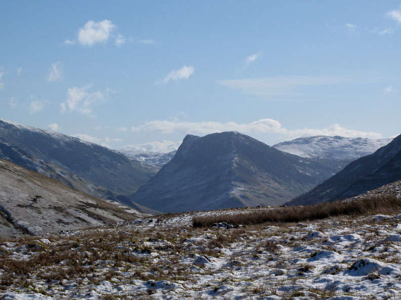
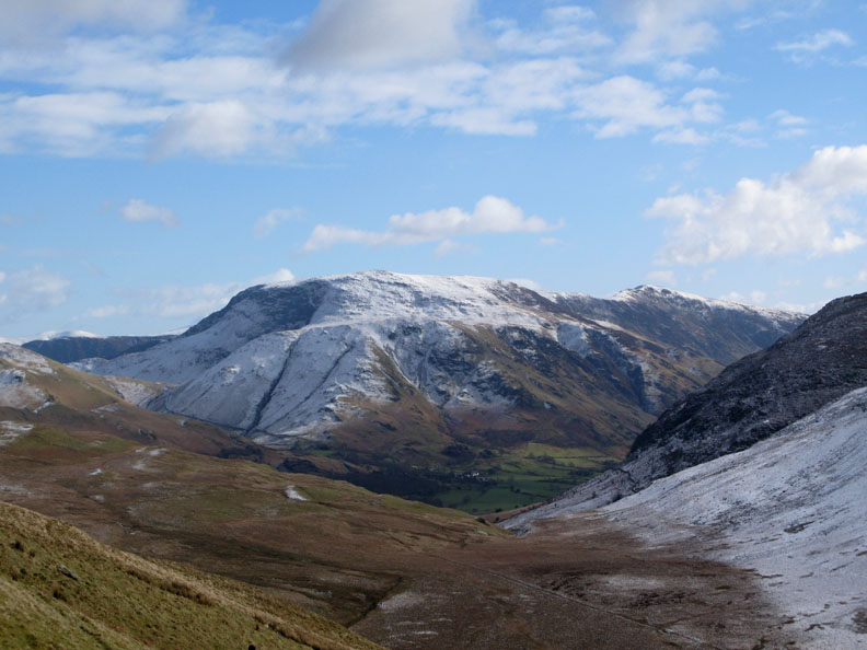
Starling Dodd at the head of the valley as I cross the stepping stones.
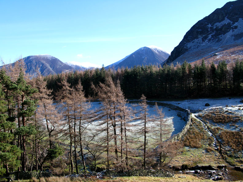
Looking back at the frost and snow still holding where the trees and wall protect it from the heat of the sun.
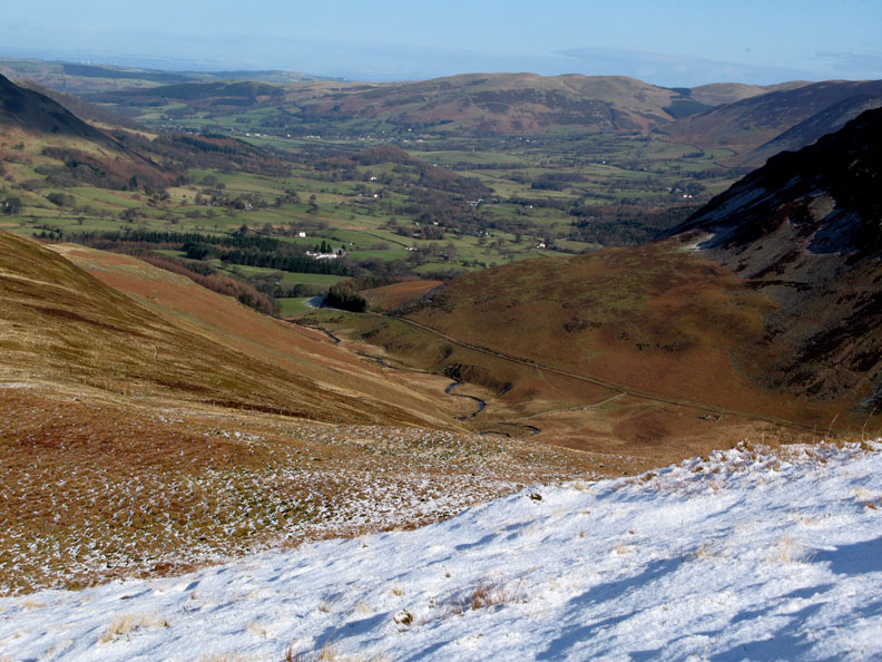
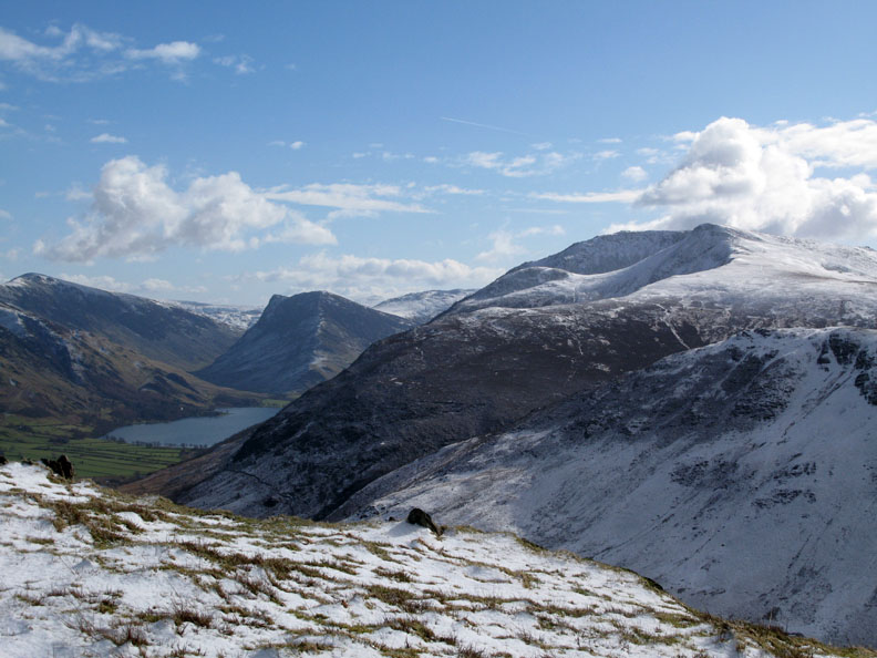
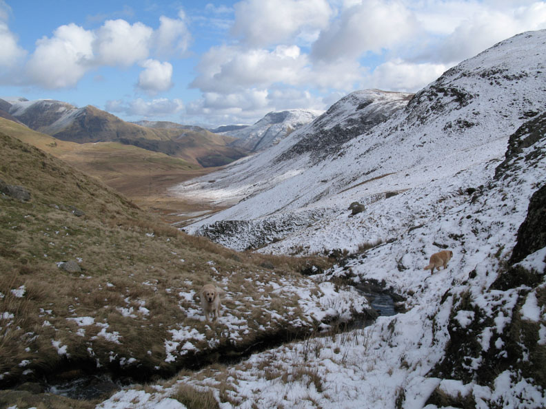
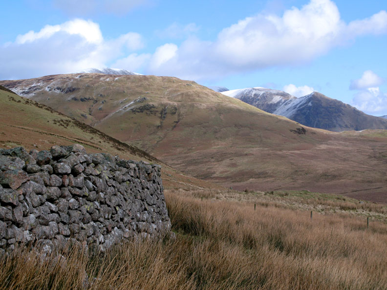
At the head of the valley is Red Pike and the High Stile Ridge. The track in the valley bottom is the Mosedale bridle way from Ennerdale. This would be my return route later on.
First there was Hen Comb to climb. The dogs pause by a small moorland pool, more like a deep boggy area than a small tarn.
Views up Buttermere as I reach the bottom of the steeper climb. This is Fleetwith Pike with Grey Knotts behind it to the right and a bank of fluffy cloud over Rosthwaite Fell to the left.
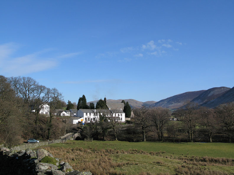
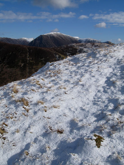
Up into the snow now, looking back down Lorton Valley. The Kirkstile Inn is the large white building below.
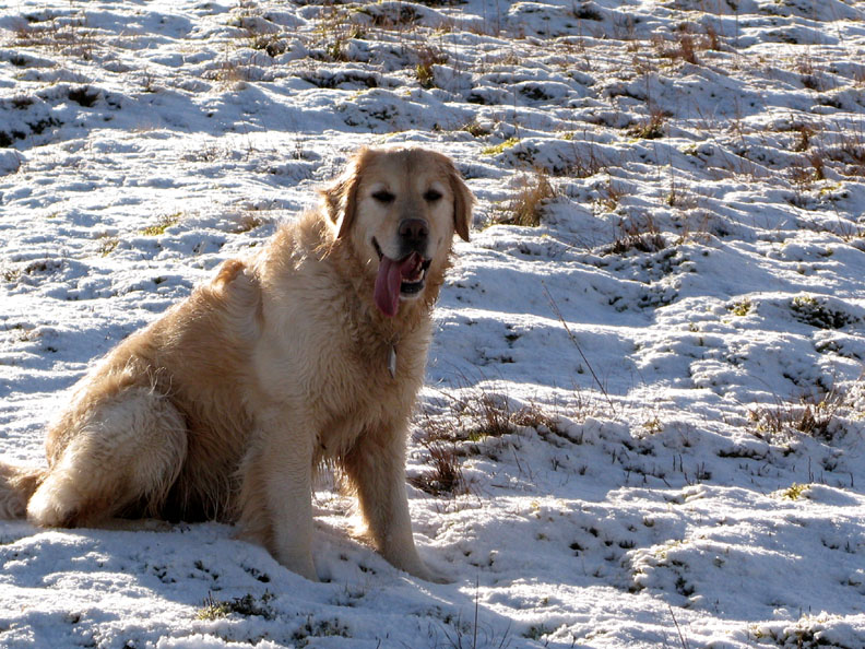
The temperature may be cold, but it's hot work climbing in the sun, even more so if you are running about all the time !
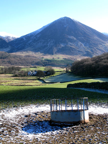
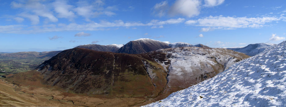
Mellbreak with Whiteside, Hopegill, Grasmoor, Eel Crags, Wandope and Whiteless Pike. To the extreme right is Robinson Fell.
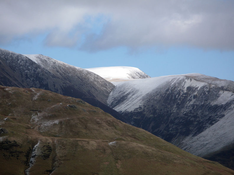
Zooming in on the Helvellyn Range above Knott Rigg and the darker crags of Maiden Moor
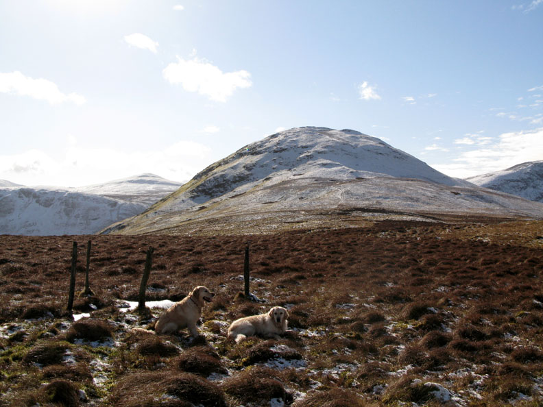
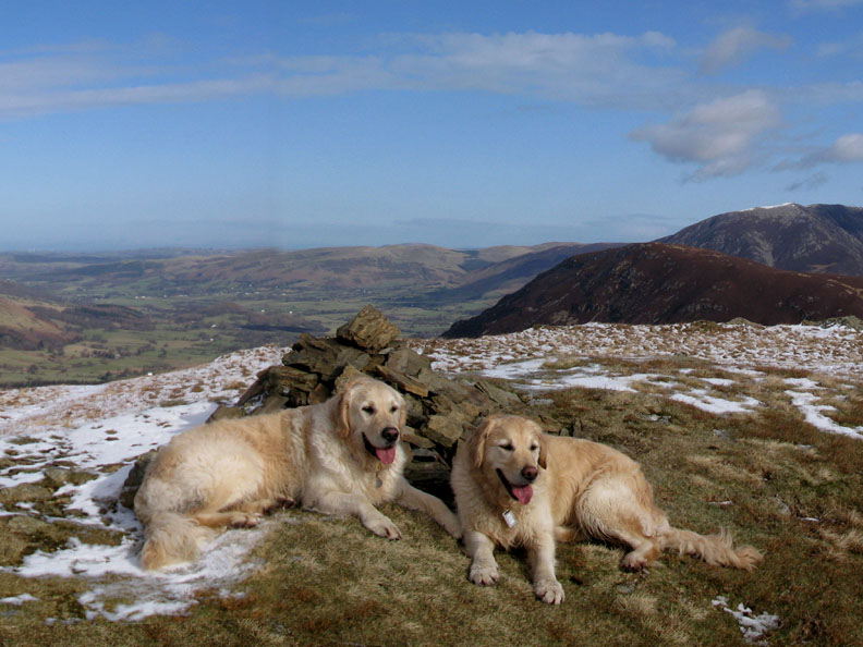
The summit reached but the snow has melted where the ground has been exposed to the warm sun. Harry and Bethan relax for a moment.
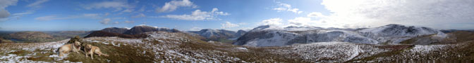
Click here or on the photo for an wider annotated panorama.
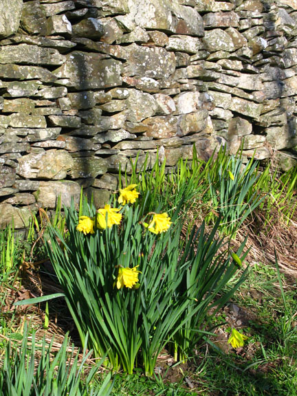
I also stop to enjoy the winter colours. The snow seems restricted to the high fells and the valley fields are a deep, contrasting green.
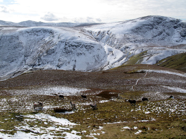
Where shall I go now ? A quick ascent means the dogs and I have time to extend the walk. Lets follow that path over towards the Floutern Valley.
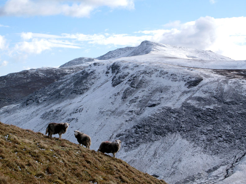
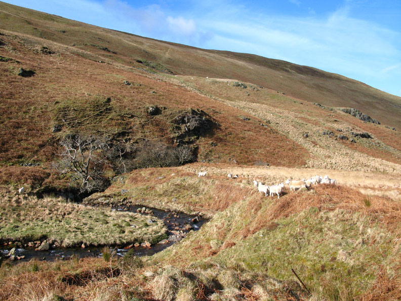
The locals turn and watch as we pass by.
Another zoomed shot , this time of the snow on Crag Hill / Eel Crag. To the left are the slopes up to Grasmoor and to the right, Wandope and the route down to Whiteless Pike.
Robinson and Hindscarth on the other side of Buttermere Valley.
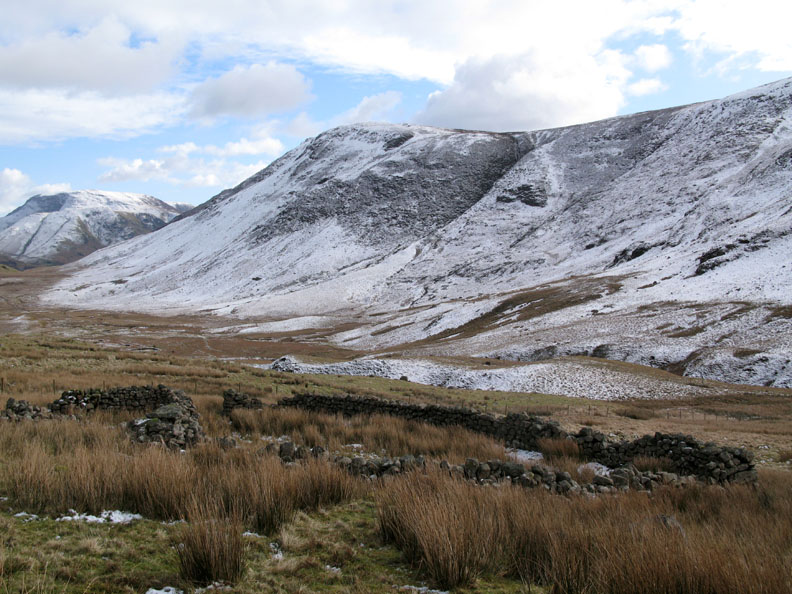
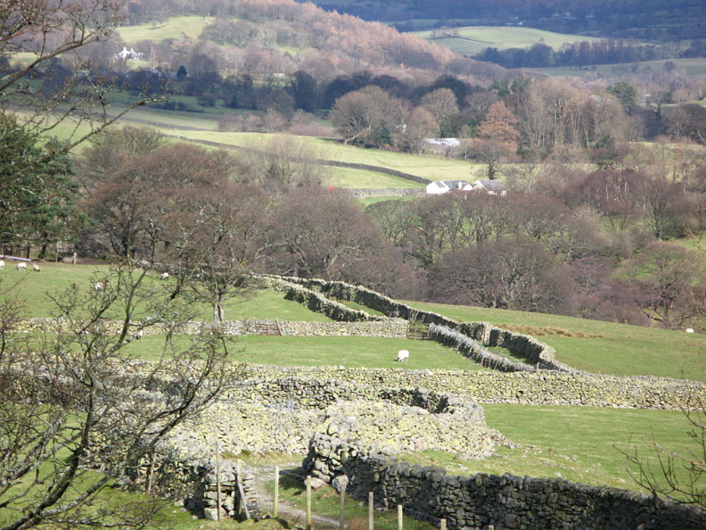
Descending the southern (rear) slopes of Hen Comb I reached the Ennerdale bridle way and this old sheepfold, a landmark clearly shown on the O.S.Maps.
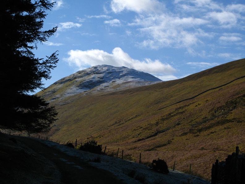
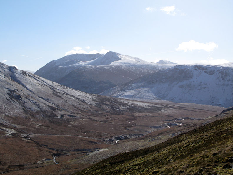
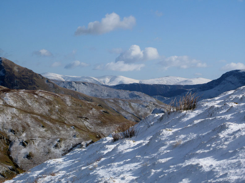
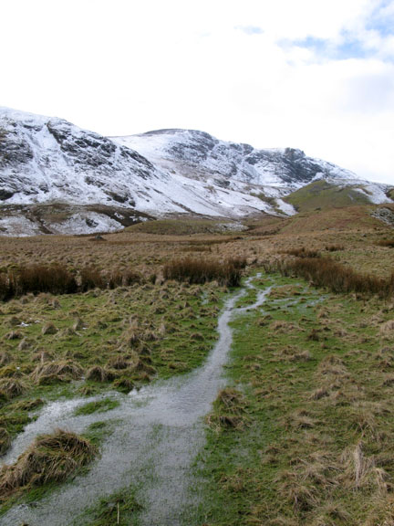
Looking east along the Floutern Valley The snow seems to have settled on the north facing slopes only.
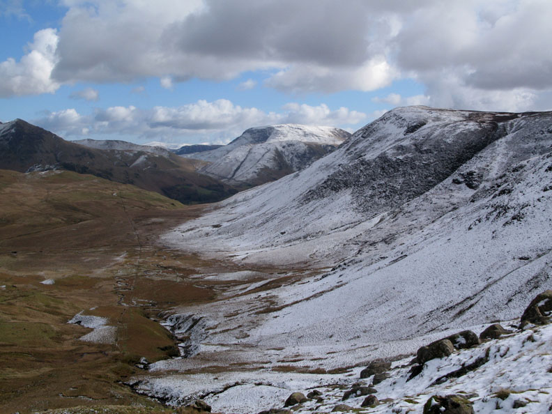
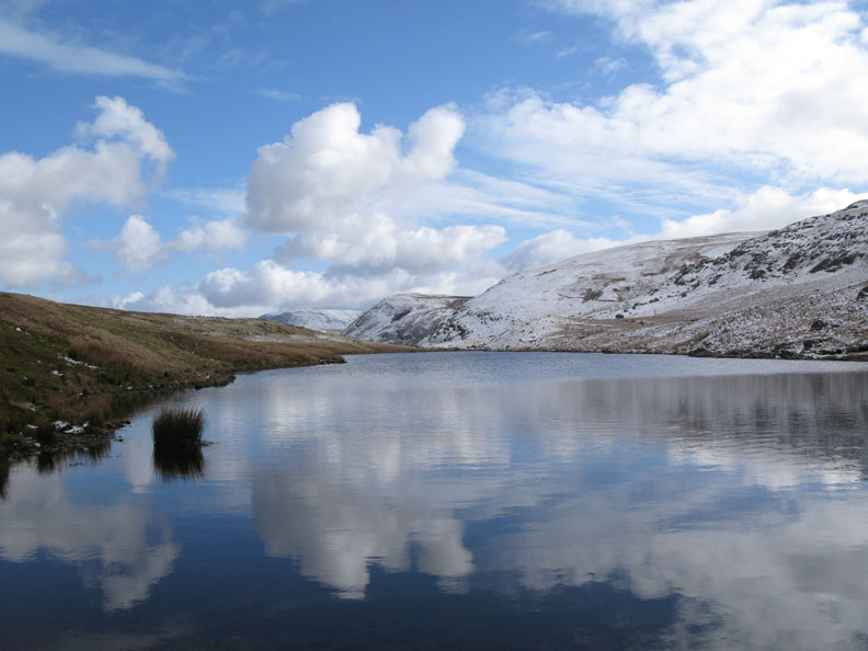
My route was decided when I realised that Floutern Tarn was within reach in the time available today. The tarn is not visible from the highest point of Great Borne, and Ann and I have never visited it before, so this was a first for me. The tarn nestles closely under Steel Brow and the extensive Floutern Crags. A bank of high cloud seems to be moving in from the west to bring some grey skies and weaker sunshine.
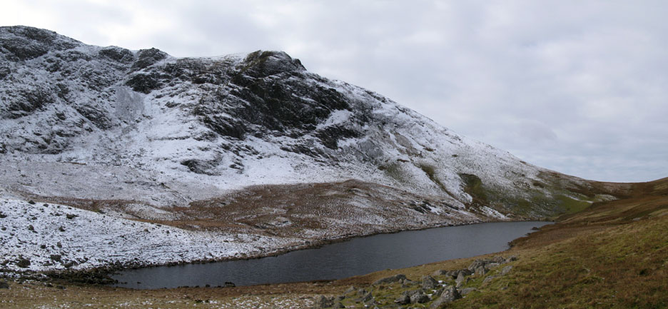
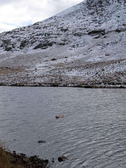
No, it's Bethan swimming across the tarn, having found herself on the opposite side from myself and Harry.
To the east, however, the sky is still blue and the gentle breeze hardly disturbs the reflections.
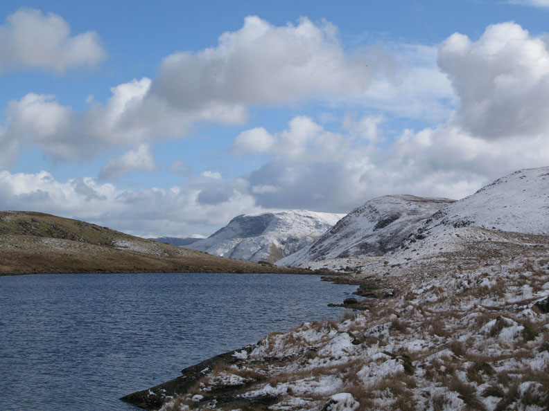
Having walked around the top end of the tarn, I made my way back down the other side. If only Bethan had waited we would have come round to meet her on this opposite shore.
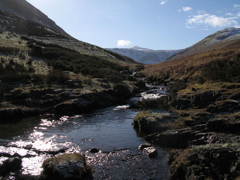
The slopes of the extended High Stile Ridge, from the outfall of Floutern Tarn.
That grey sky seems to have kept south of us giving us renewed sunshine as we retrace our steps to the sheepfold.
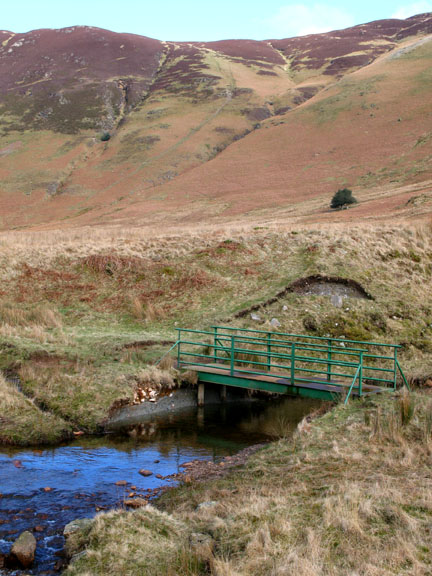
The bridge had been replaced in recent years by a steel structure after the wooden one was vandalised. I'm in the Mosedale Valley now, on the home leg of the walk. In the background is the Mosedale Holly Tree.
Bright sunshine as we pass the small disused lead mines on the flanks of Hen Comb.
The view forward and the end of the walk is in sight.
There's the grid referenced, red phone box that marked the start of today's excellent winter walk.
|
- - - o o o - - - Technical note: Pictures taken with my Canon G7 or Ann's Ixus Digital cameras. Resized in Photoshop, and built up on a Dreamweaver web builder. This site best viewed with . . . a nudge in the right direction - outdoors ! © RmH.2007 # Email me here # Guest book (on the front page) Previous walk - 3rd March 2008 A local walk with Jo, Angie and David A previous time up here - 17th July 2003 A Voluntary Wardens Patrol over Hen Combe ( Note: we are no longer Voluntary Warden representatives of the Park, but I hope the pictures are still interesting )
|