![]()

|
|
|
|
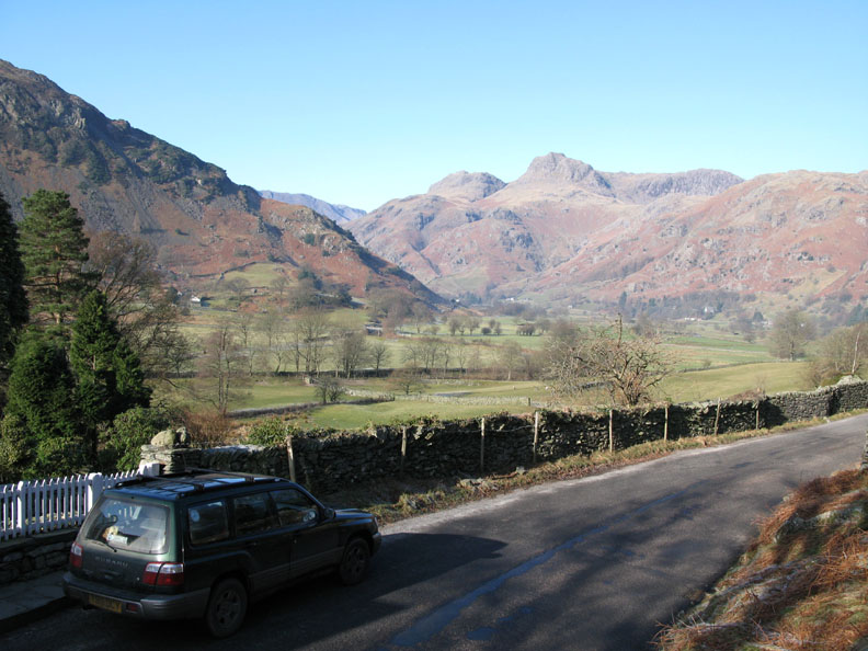
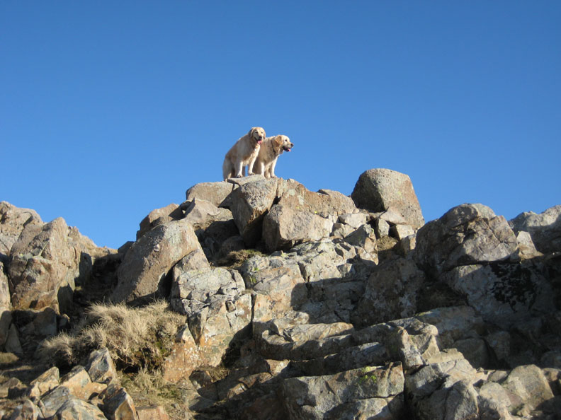
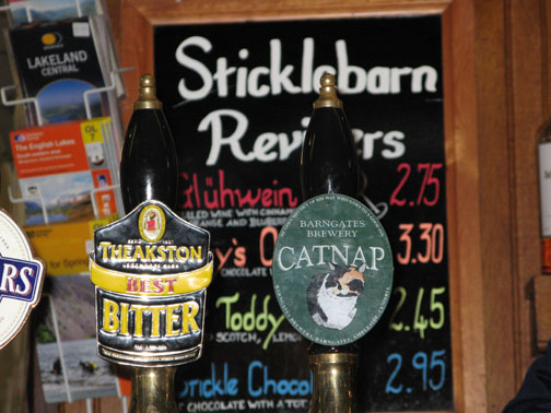
Date & Time: Monday 18th February 2008. 10.45 am start. Location of Start : New Dungeon Ghyll, Langdale, Cumbria, Uk. ( NY 294 064 ) Places visited : Dungeon Ghyll, Loft Crag. Pike O' Stickle, Harrison Stickle, Thunacar Knott, Pavey Ark, Easy Gully, Stickle Tarn, back to NDG for a pint at the Climbers Bar. Walk details : 4.75 mls, 2550 ft of ascent, 6 hrs including lunch. Highest point : Harrison Stickle 2414 ft (736m )Walked with : David Leslie, Ann and the dogs, Rosie, Holly, Harry and Bethan. Joined by Paul part way round. Weather : More wonderful winter sunshine. Hardly any breeze. Webmaster and Mrs Webmaster taken by Dave. |
|
|
The brilliant winter sunshine continues and we join David again, or did he join us (?) for a walk around the classic Langdale Pikes.
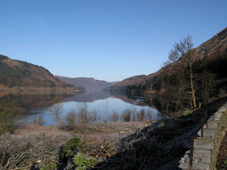
From home we had to drive down through the Lakes. This is the southern end of Thirlmere after recent tree clearance. The views are much more extensive than previously.
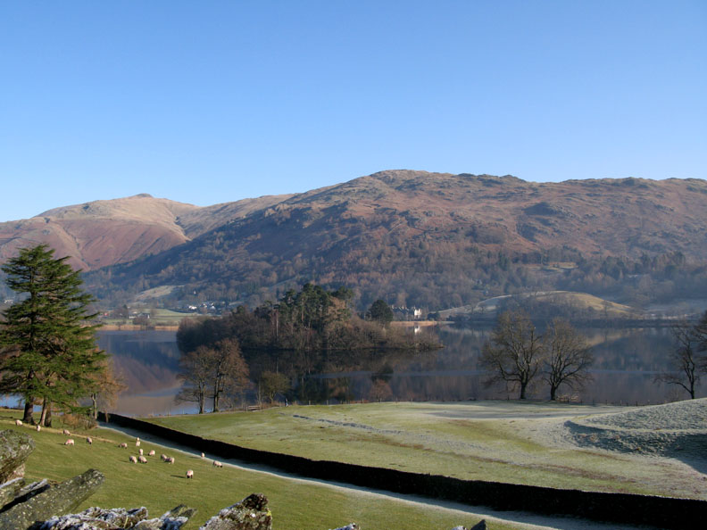
We took the Red Bank road around the western side of Grasmere. Still waters with good reflections, patches of ice on the lake and frost on the ground, as the temperature still hovers around freezing.
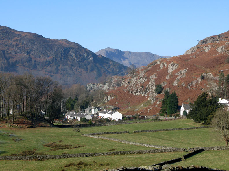
Our first view of the Langdale Valley and Chapel Stile. In the distance the summit of Bowfell stands out in the clear blue sky.
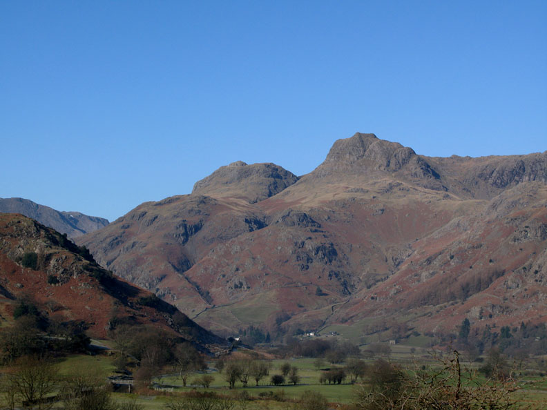
I just had to stop for a photo of the Pikes, our objective for today.
Zooming in on the twin peaks of Loft Crag and Harrison Stickle - two of the Langdale Pikes.
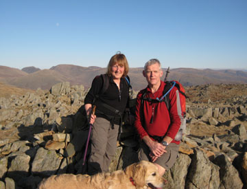
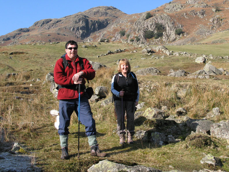
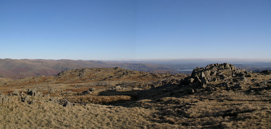
Happy to be out, I think it is fair to say . . . Ann and David at the start of the walk, once we had reached open ground. Click here or on the photo for an wider annotated panorama.
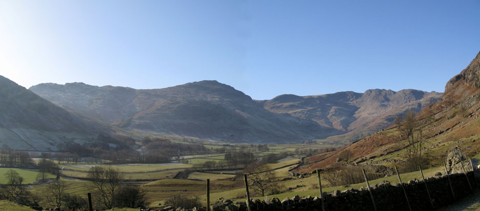
Our view of the upper Langdale Valley. The slopes of Side Pike, Pike O' Blisco, Cold fell, Crinkle Crags and the start of The Band up to Bowfell.
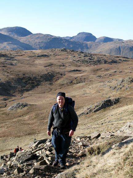
David and myself looking south west into the sun.
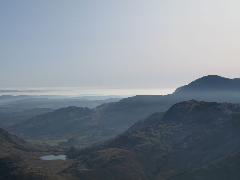
Ahead of us, a cloud inversion over Morecambe Bay beyond Blea Tarn and the slopes of Wetherlam.
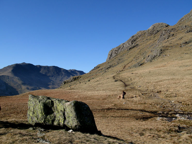
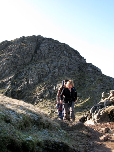
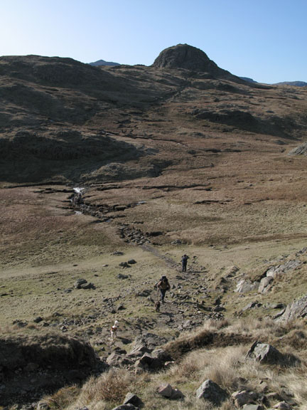
Shortly after we reached the level ground at the apparent top of the climb - relief at easier walking - but it's short lived. Ahead of us is Harrison Pike, and there is still a lot more climbing ahead.
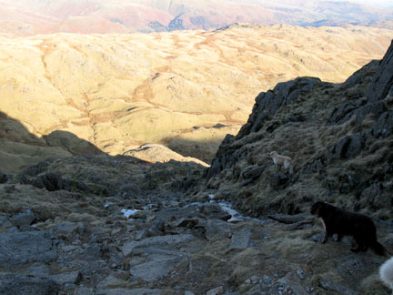
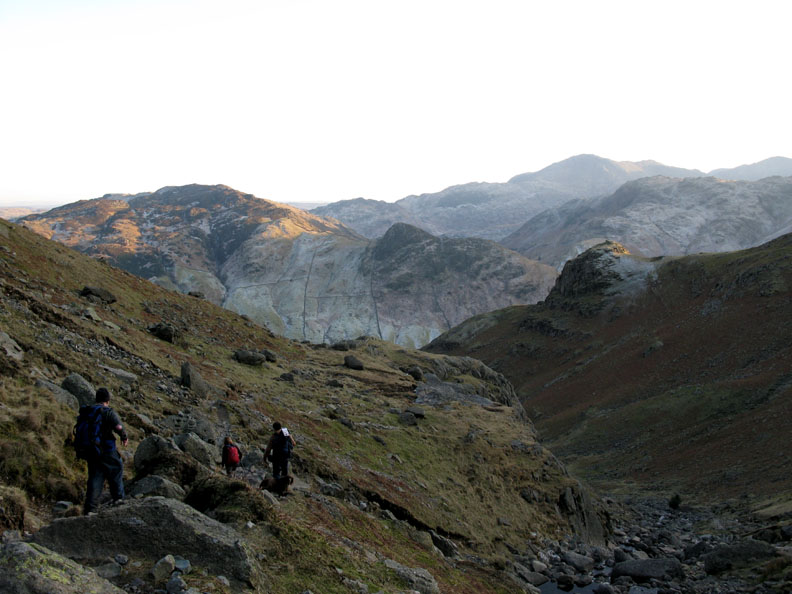
Our route involves another steep section before we reach the top of the Pikes.
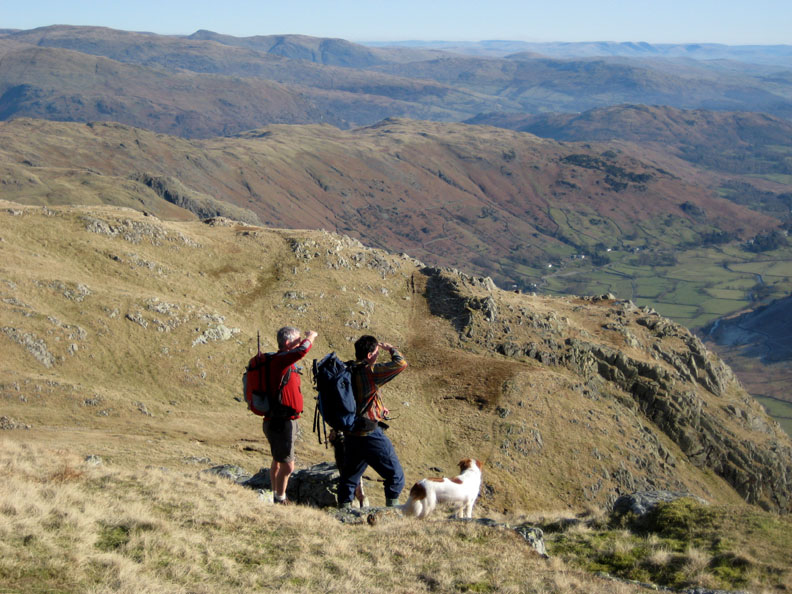
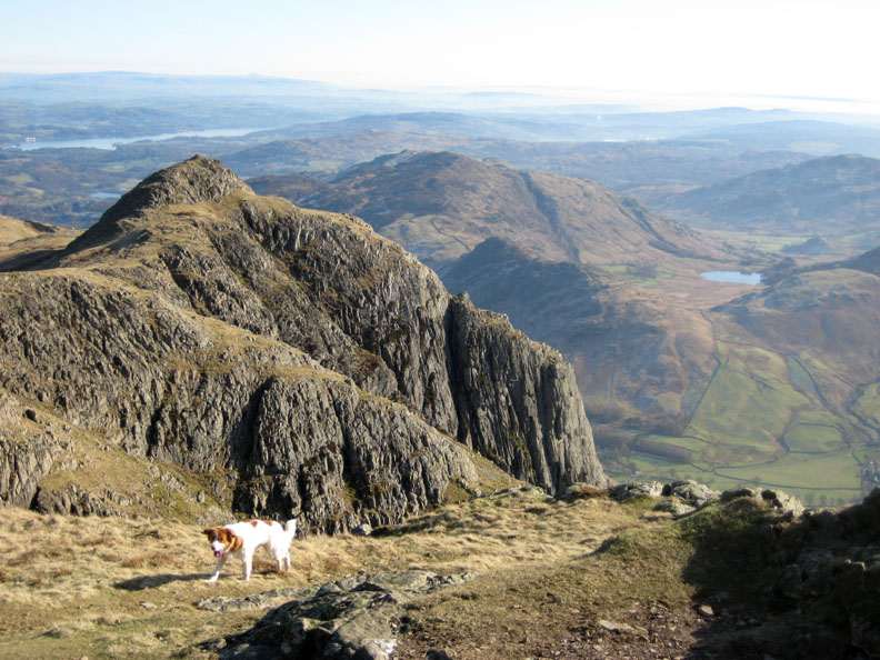
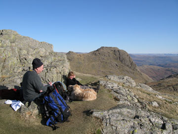
For the last part of the climb we had been followed by a gentleman who caught up with us at Loft Crag. Spot the walker following us up the slope.
I recognise that hat . . . Paul Harrison of the OFC. He's recently moved to Barrow in Furness and just happened to climb the same fells as us today.
Now as a party of four we left Loft Crag, en route to Pike O' Stickle.
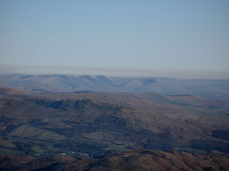
Looking back, Loft Crag and a hazy Windermere. In the distance, Ingleborough Fell and the flatter Whernside to the left.
Looking further to the left, the distinctive folds of the Howgill Fells.
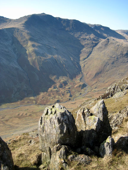
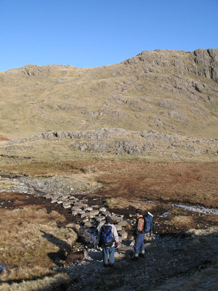
Turning right round, our next objective comes into view, the distinctive summit of Pike O' Stickle.
Our route would take us along the rocky ground to the left of Harrison Combe.
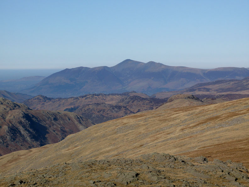
Looking north to the Skiddaw Fell massif as we near the summit of Pike O' Stickle.
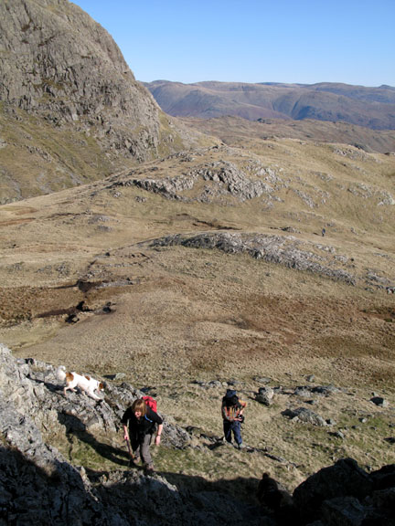
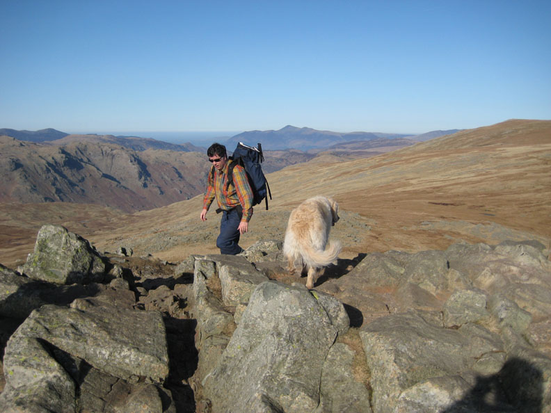
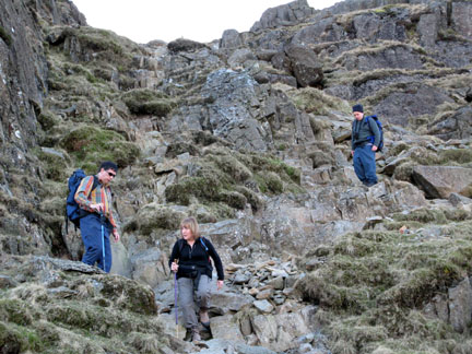
Dave negotiates the last of the summit rocks.
Come on Paul, it's not far now.
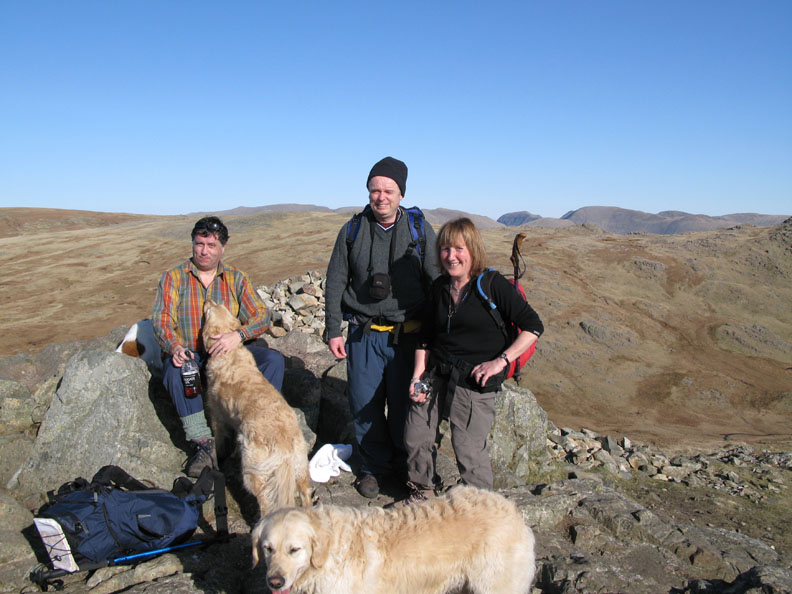
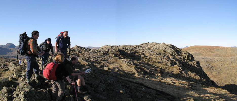
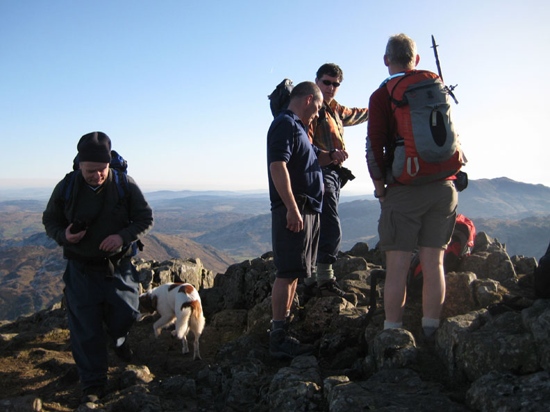
The extended rocky top of Harrison Pike. On the top we met up with two guys, Chris and Neil, who had travelled up from Surrey this morning to be on the fells in the fine weather.
The lads discussing the view . . .
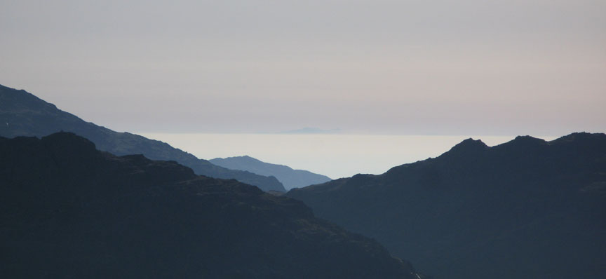
South to Snowdon across the cloud cover of the Irish Sea and Liverpool Bay. That's over 100 miles of visibility.
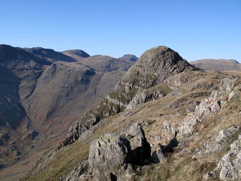
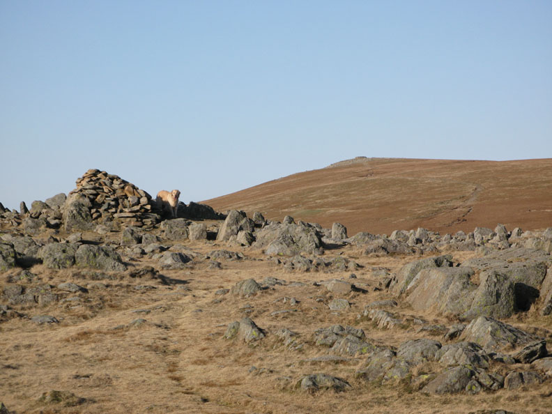
Summit four is a short walk away. Thunacar Knotts with High Raise behind.
The North Western Fells across the tarn on Thunacar Knotts.
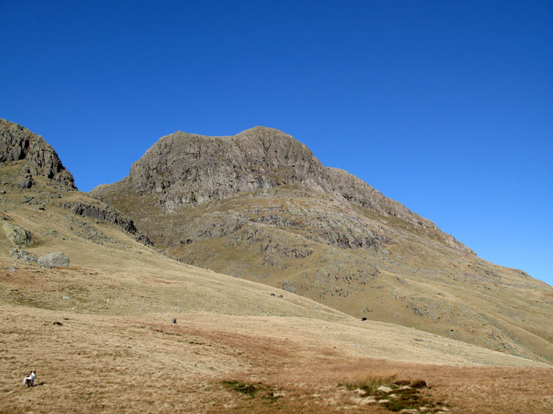
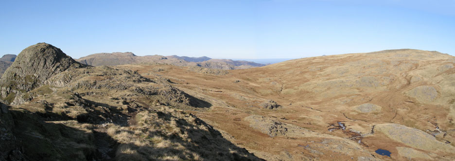
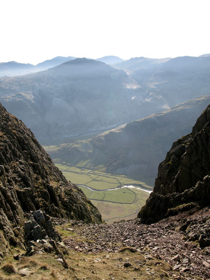
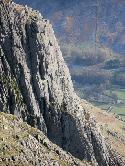
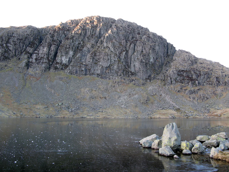
The final "Wainwright Peak" and our fifth summit today was a short walk back. Pavey Ark looks insignificant from the north, but hides a dramatic 700 ft high cliff on it's southern side.
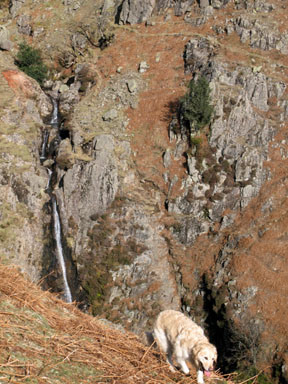
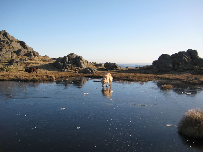
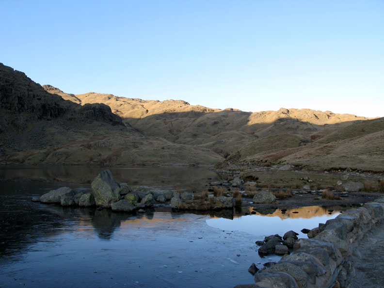
On the way across we found another frozen pool. Click here or on the photos above for a short video of the experience. ( The 1/2 min video should open a new window and play in your Windows Media Player) ( It may take a short while to download on slower connection speeds - please be patient ) @ 2008 Loweswatercam.co.uk
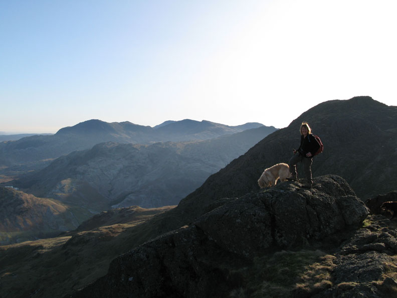
Ann looking out towards the Coniston Fells.
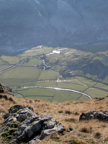
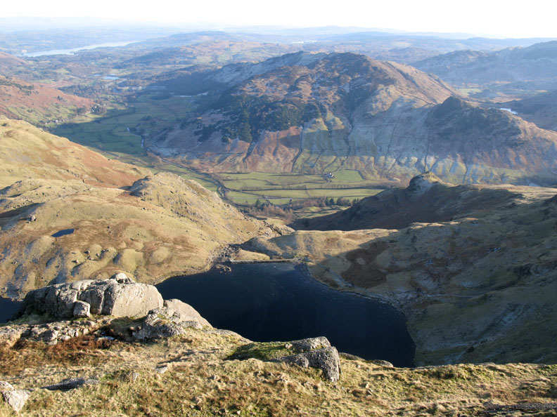
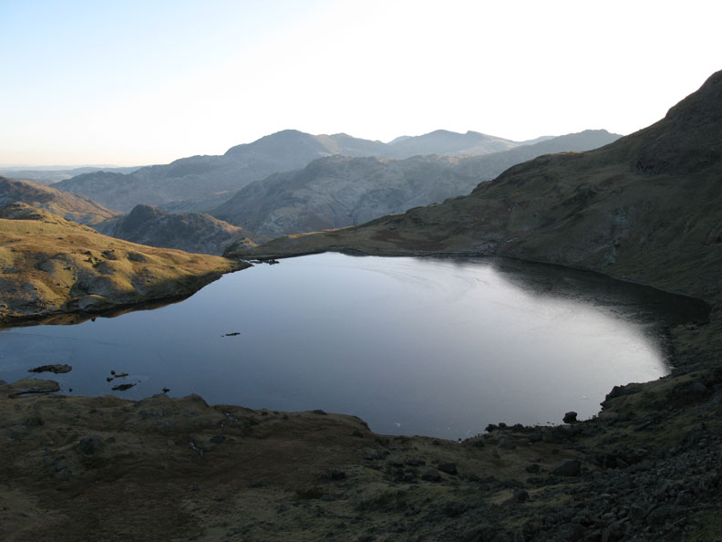
Below was Stickle Tarn and the Langdale Valley. Lingmoor Fell is opposite.
Descending into the shadow of Harrison Pike the temperature drops significantly.
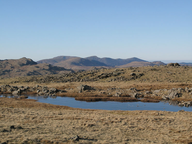
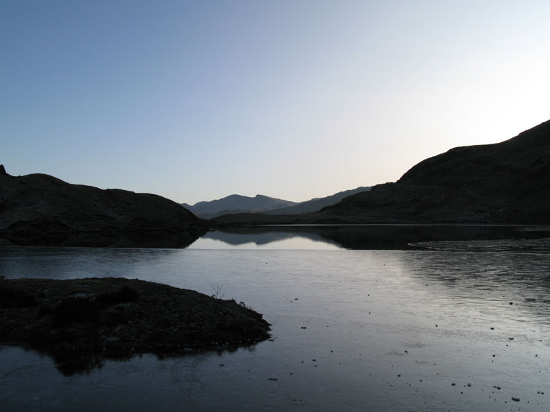
Great Carrs and Swirl How, sharp edged across the partially frozen Stickle Tarn.
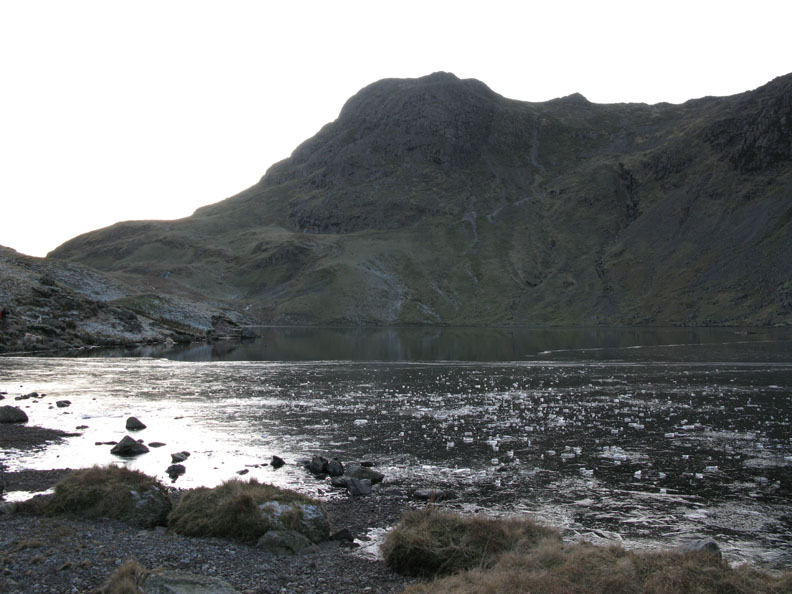
Harrison Stickle from the lake side.
Those high cliffs of Pavey Ark. Ann was standing on the skyline a short time ago.
Looking back at our descent route. Sergeant Man is the top rocky peak still catching the sunlight behind.
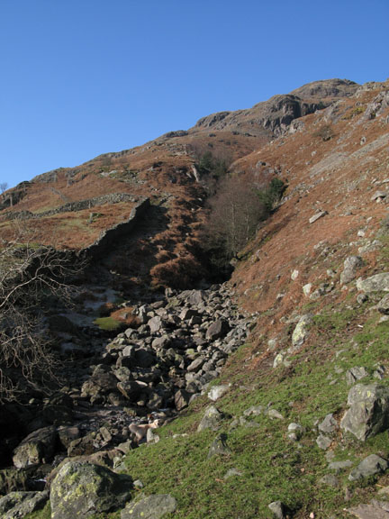
The final path back down alongside Stickle Beck to the valley below. The northern slopes of the fells ahead have held onto their frost due to missing out on the warm sunshine we experienced today.
Move the cursor over the right hand picture to compare morning and evening lght.
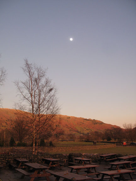
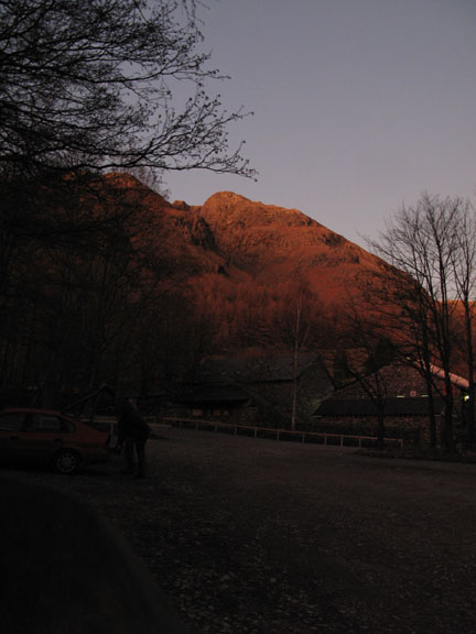
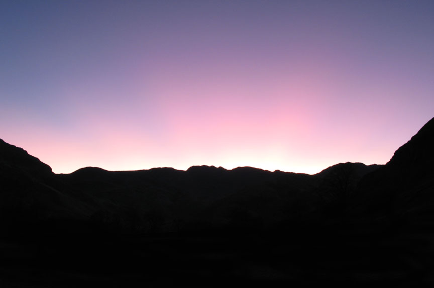
It was due to the remarkable clear sky sunset. |
- - - o o o - - - Technical note: Pictures taken with my Canon G7 or Ann's Ixus Digital cameras. Resized in Photoshop, and built up on a Dreamweaver web builder. This site best viewed with . . . another day of perfect winter walking weather. © RmH.2007 # Email me here # Guest book (on the front page) Previous walk - 16th Feb 2008 Mini OFC meet on High Rigg More photos from today from Dave and from Paul
|