![]()

|
|
|
|
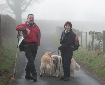
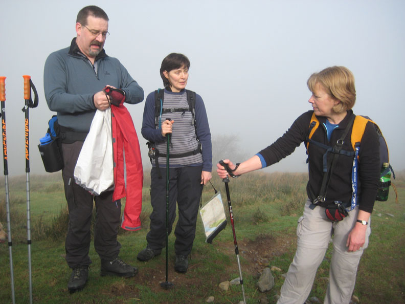
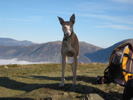
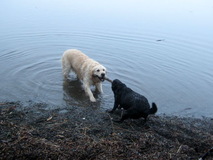
Date & Time: Sunday 10th February 2008. 11.45 am start. Location of Start : The red phone box, Loweswater, Cumbria, Uk. ( NY 143 211 ) Places visited : Maggie's Bridge, High Nook Tarn, Blake Fell, Carling Knott, Holme Woods, and then from Maggie's Bridge back home. Walk details : 5.6 mls, 1800 ft of ascent, 4 hrs 30 mins. Highest point : Blake Fell, 1,878ft ( 573m )Walked with : Jo, Jayne and Max, Ann and the dogs, Jodie, Megan, Harry and Bethan. Weather : Cold, damp and misty in the valley. It is supposed to be fine ! Max and Jayne with our dogs at the start of the walk |
|
| Ann, Jo, Jayne and Max set out on a walk that was full of anticipation. The day was planned before the weather forecast was known, but we woke to find a cold misty morning. Hopefully the weather will improve.
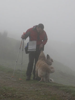
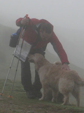
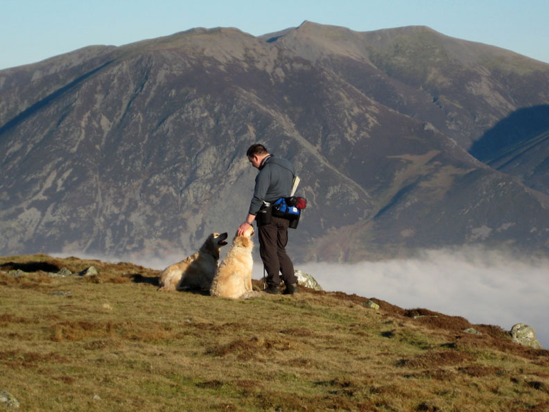
On the track above High Nook Farm, Max tries out a little of his discipline on his new walking companions at the start of the climb.
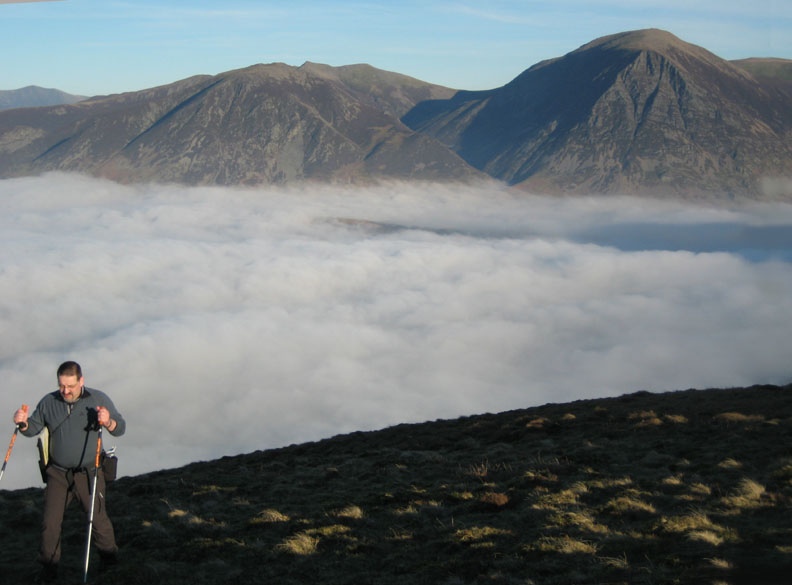
Max, Jayne and Jo stop to shed some clothing as it is getting warmer. The cool mist of the valley seems to be thinning . . . perhaps we may get a temperature inversion ?
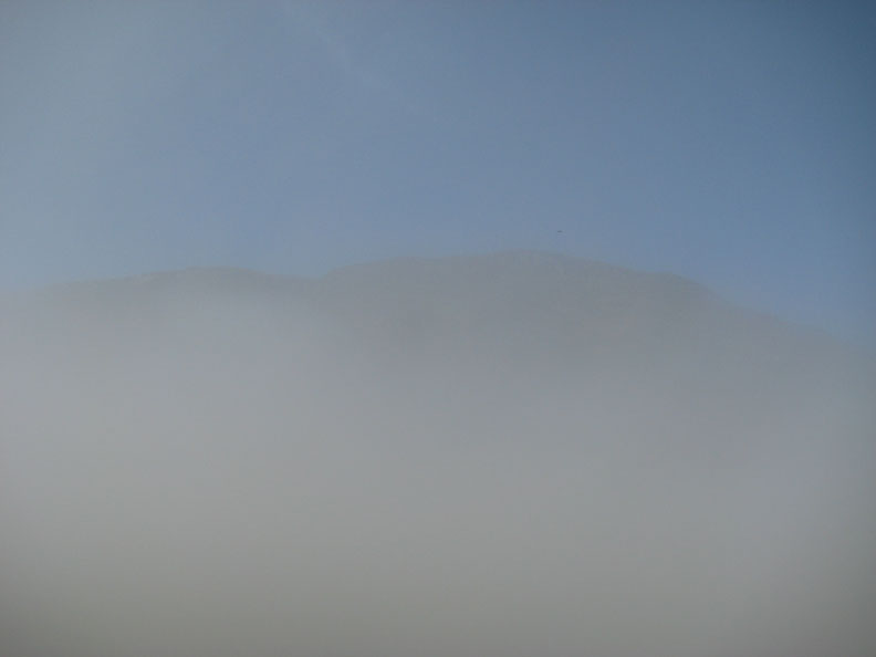
Study in Blue and Grey. Suddenly there was blue sky above the ridge of Carling Knott.
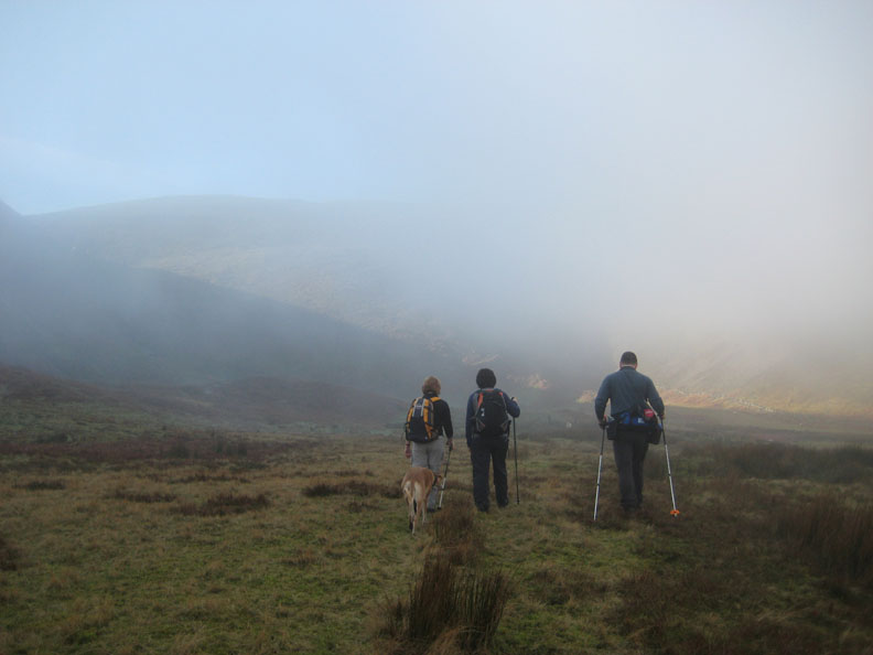
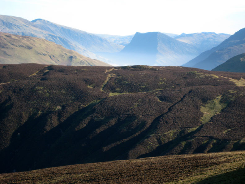
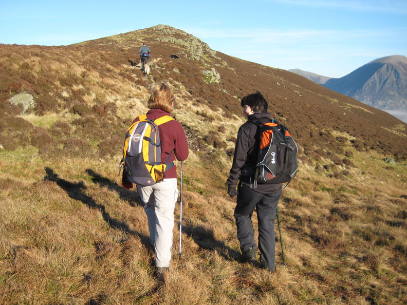
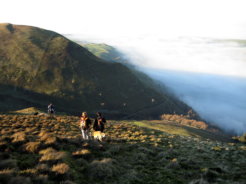
Ahead of us is the climb towards Blake Fell at the head of the valley. The ridge emerges out of the mist as we climb higher.
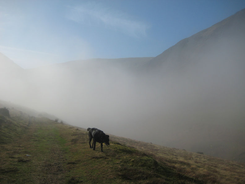
Swirling mist and sunlight ahead as we cross the valley floor. We need to find the start of the zig zags that will take us onto Blake Fell.
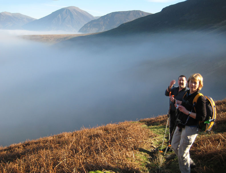
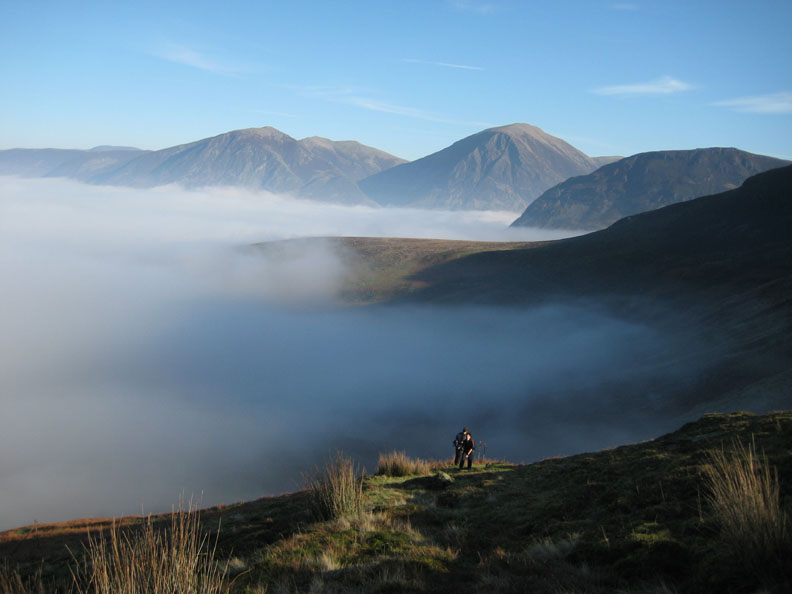
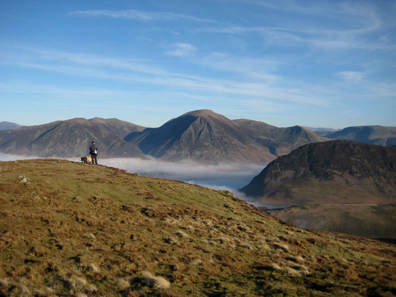
" Happiness is a confirmed cloud inversion " Max and Jo can look over the top of the cloud towards Grasmoor for the first time.
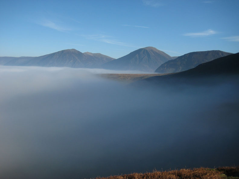
Whiteside, Hopegill Head, Grasmoor, Mellbreak and the start of the slope towards Gavel.
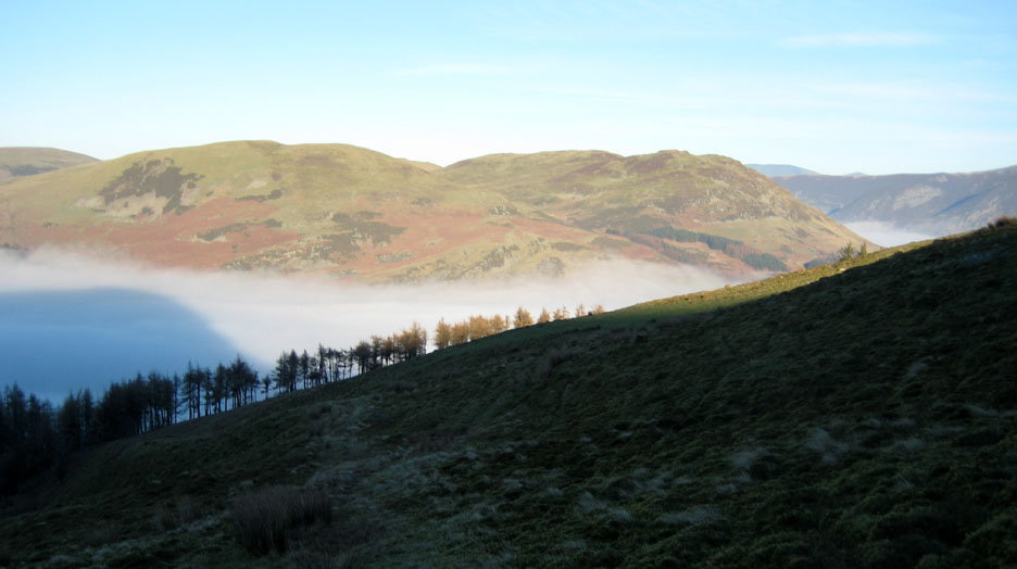
To the left beyond the slopes of Carling Knott is Low Fell and the cloud filled Lorton Valley.
Climbing now, Max and Jayne on the steep ascent towards Blake Summit.
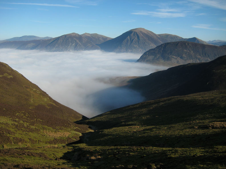
Nearly there, beautifully clear now above the clouds - Skiddaw (l) and Helvellyn (r) are now clear behind the north western fells.
Stopping for a breather on the way up. The Central Fells are also clear.
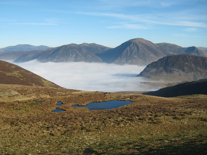
The small tarns just below the summit of Blake reflect the blue skies.
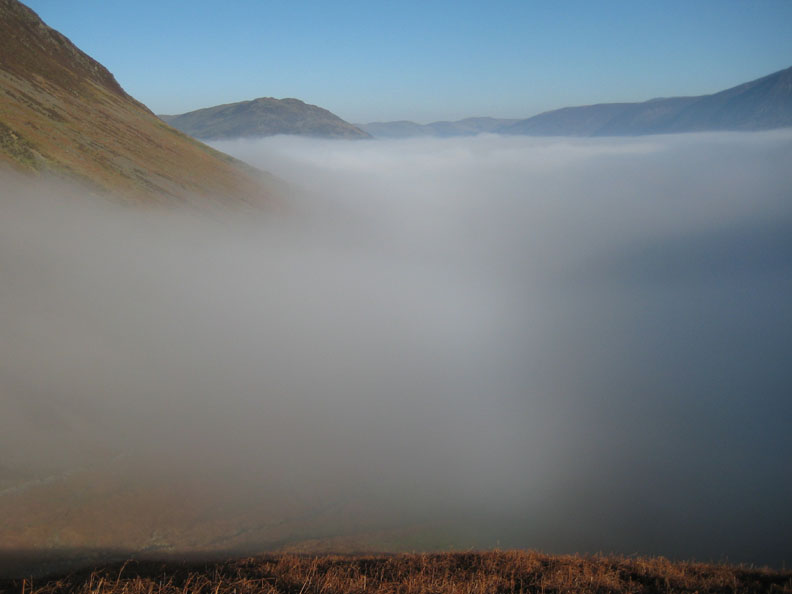
Dale Head, Honister and Fleetwith Pike with the triangular top of Pike O' Stickle in the distance. There appears to be a less dense inversion at the head of the Buttermere Valley.
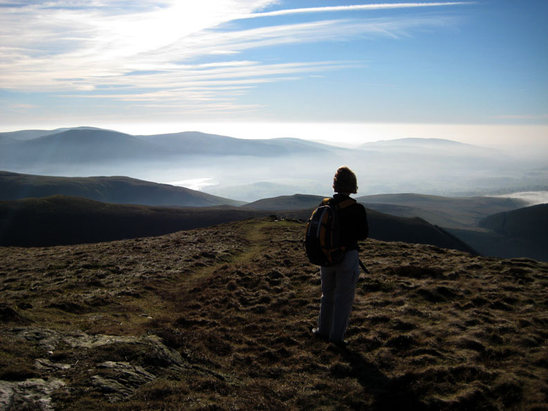
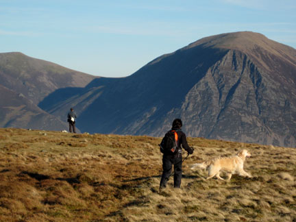
Over the top and Jo is enjoying the view south west towards Ennerdale, and across to Dent Fell nearer the coast.
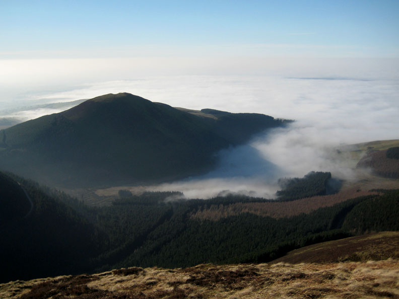
Below us, Knock Murton with the cloud rolling in across Cogra Moss.
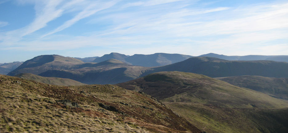
A summit panorama of High Stile, Pillar, Steeple, and Haycock with Starling Dodd and Great Borne in the middle distance. The greener fell in the foreground is Gavel Fell.
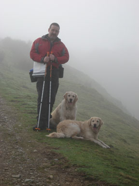
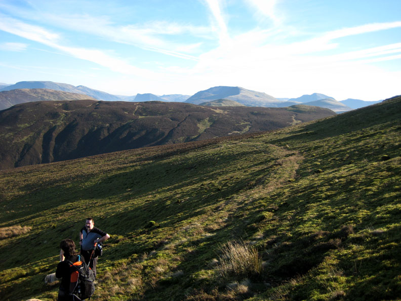
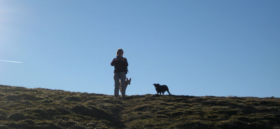
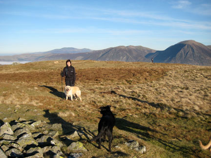
We left the summit cairn and made our way across and down to Carling Knott. Jodie and Megan follow Jo off the top.
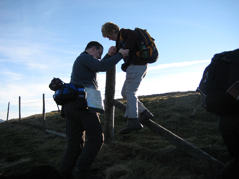
Gallant Max helps Jo over the difficult fence.
A slight rise takes us up towards Carling Knott.
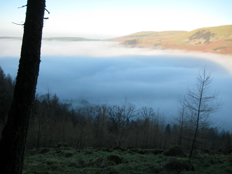
The cloud filled valley has changed little all day.
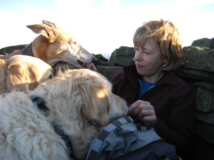
A close up of Max, Harry and Bethan, with Whiteside, Hopegill Head and Sand Hill behind.
The lower summit of Scale Hill in the valley below just manages to peep out above the clouds.
The Solway plain has had a thick cloud cover all day, but we can just see Criffel standing clear on the Scottish side just right of centre.
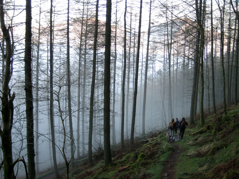
Five trees on the side of Burnbank catch the light as we make our steep descent down to the track below.
Darling Fell and Low Fell beyond the trees that mark the start of Holme Woods.
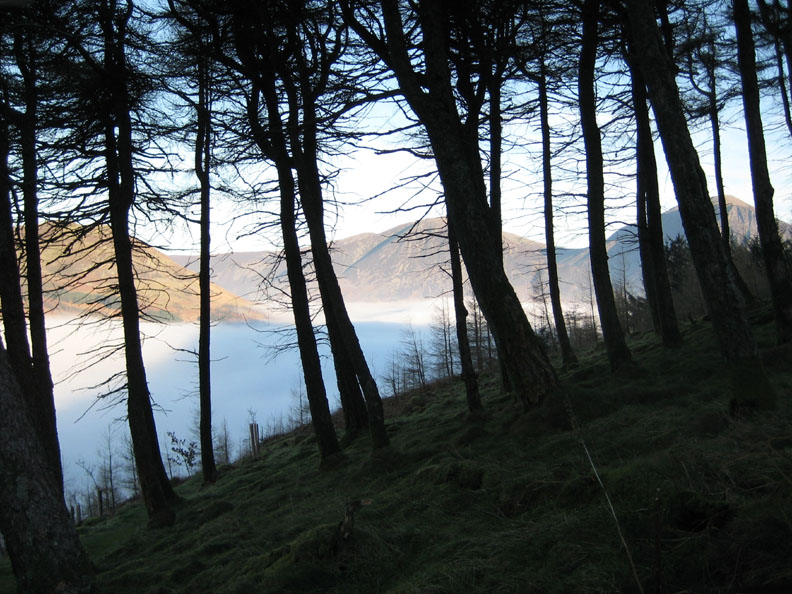
Once through the gate at the edge of the woods we start to descend towards the cloud filled valley and Loweswater.
It looks colder down there !
Into the mist, as we start to lose the view of the sun kissed Whiteside and Grasmoor ahead of us.
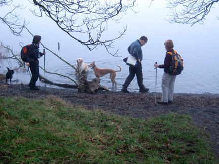
From here we walked across the fields back to Maggie's Bridge and then through the lanes back to a welcome cup of tea.
|
- - - o o o - - - Technical note: Pictures taken with Ann's Ixus 75 Digital camera. Resized in Photoshop, and built up on a Dreamweaver web builder. This site best viewed with . . . a surprise inversion. © RmH.2007 # Email me here # Guest book (on the front page) Previous walk - 9th Feb 2008 Sunshine on Great Borne, Ennerdale A previous time up here - 1st April 2007 Adventures of (the) Blake Seven
|