![]()

|
|
|
|
Date & Time: Wednesday 6th February 2008. 12.34 pm start. Location of Start : Near the cattle grid above Brotherilkeld Farm, Cumbria, Uk. ( NY 213 011 ) Places visited : Jubilee Bridge, under Birker Fell, Harter Fell, Hardknott Pass, Mediobogdvm Roman Fort, and back down to the car. Walk details : 4.25 mls, 1900 ft of ascent, 4 hrs. Highest point : Harter Fell 2,140ft ( 653m )Walked with : Ann and the dogs, Harry and Bethan. Weather : Forecasted fine and sunny, but there's still a strong, cold breeze up high.
|
|
|
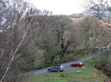
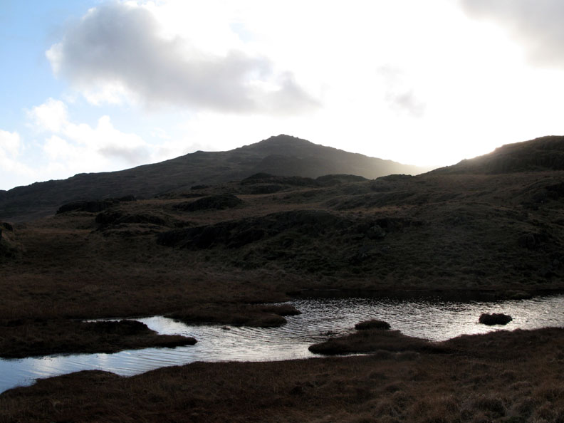
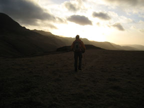
A good weather forecast at last so we took the opportunity to drive south to Eskdale for a walk up Harter Fell. We've been feeling a little unfit from the lack of long walks recently so today would be a good chance to get back into better fell walking form.
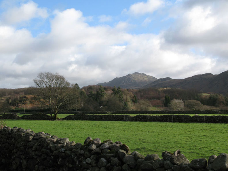
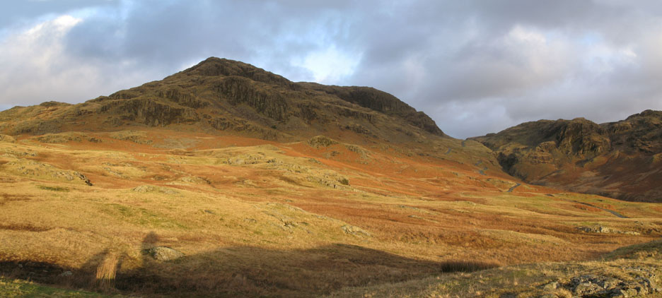
Blue skies as promised and sunshine on Harter Fell as we drive up Eskdale.
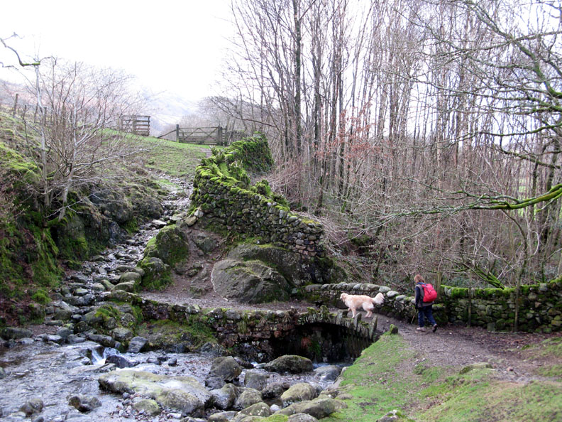
Jubilee Bridge in the shade of the valley, just down from the car parking area.
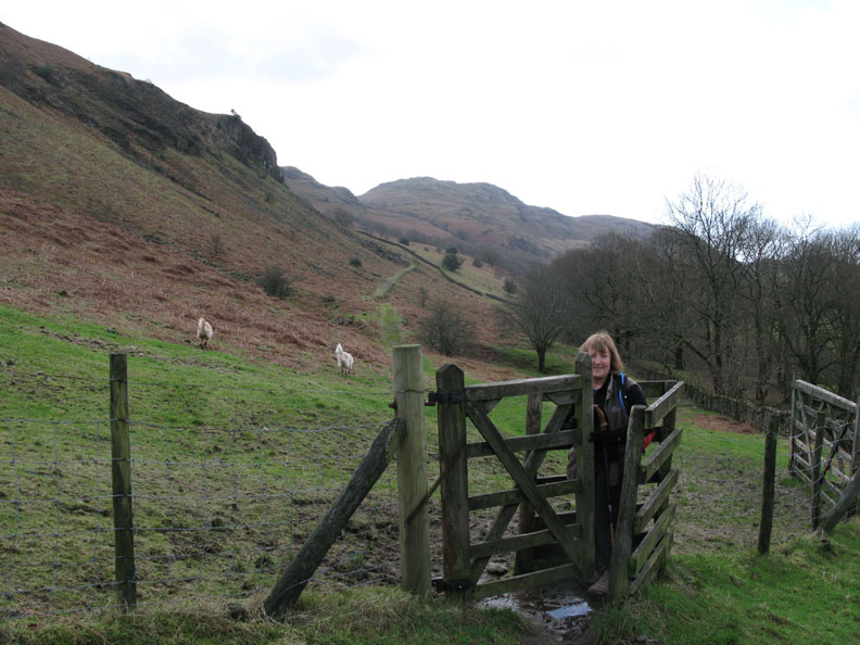
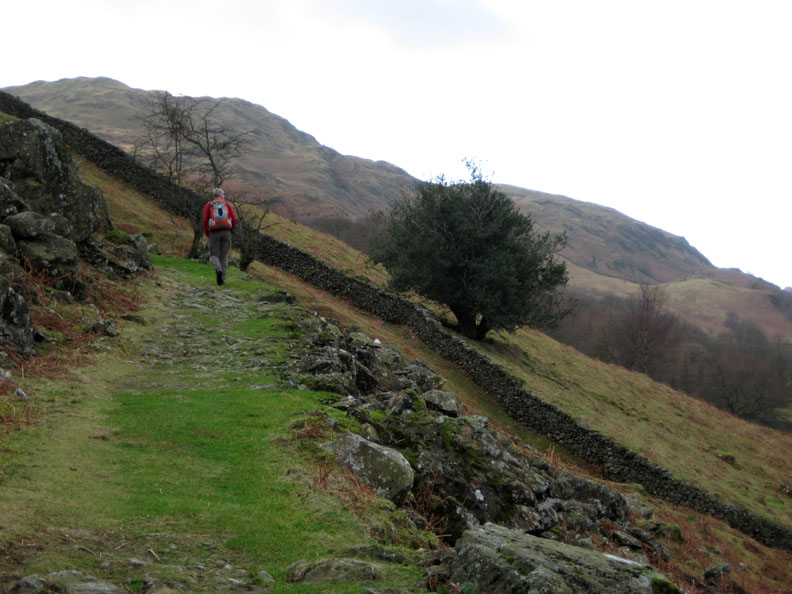
The gate out onto the open fell.
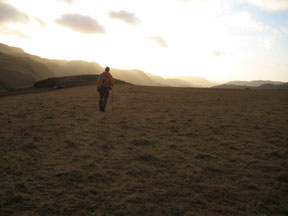
Our route followed the old peat track up the fell side. It had been engineered to allow ponies, maybe even simple carts or sledges to bring down peat (dried turf for fuel) from the high ground above.
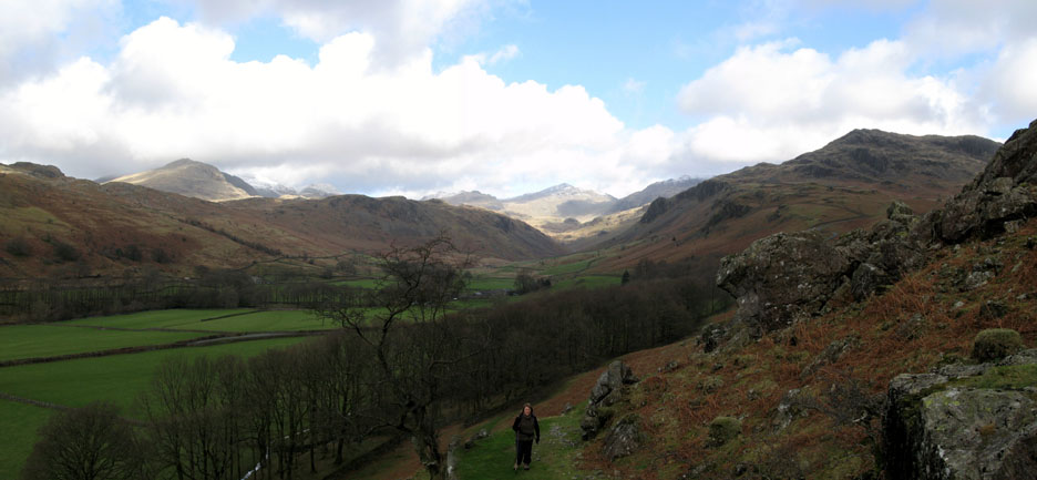
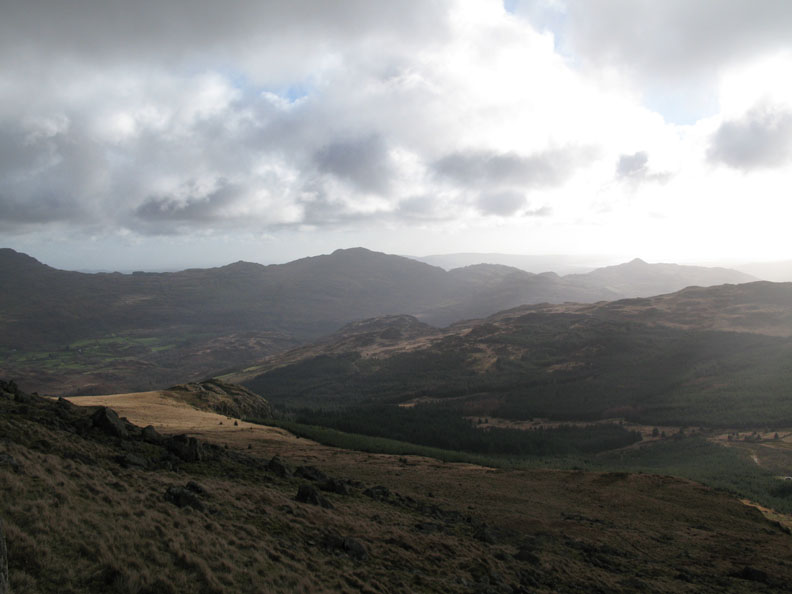
As we climbed the view back improved each time we looked. The high fells stretch from Slight Side and the Scafells round to Bowfell and Crinkle Crags.
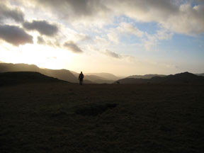
Looking back. We have left the main track and taken a footpath more directly for the summit. Below is the green valley of Eskdale pointing west towards the sea.
Green Crag, looking a rather darker shade of green as we look south and west into the sunshine. There are plenty of clouds about despite the promise of blue skies.
Caw Fell, and the pointed Stickle Fell, part of the Dunnerdale Fells on the other side of Duddon Valley.
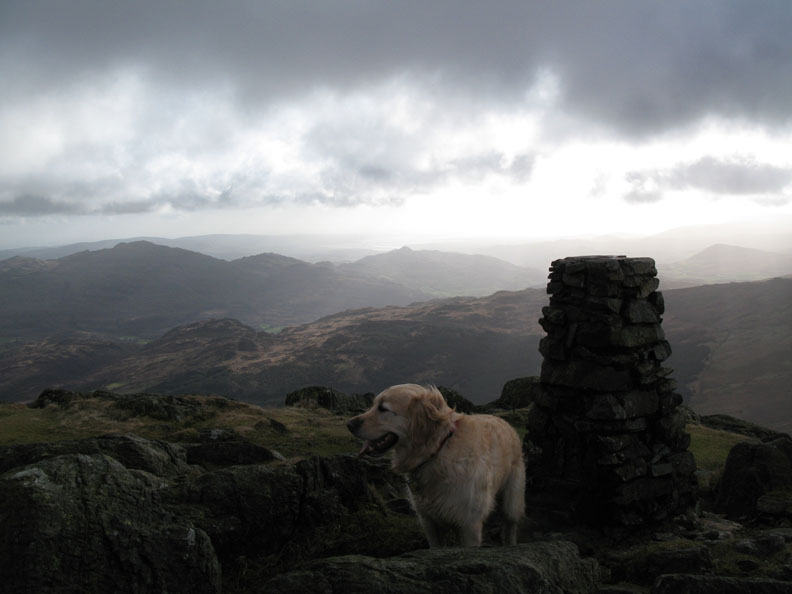
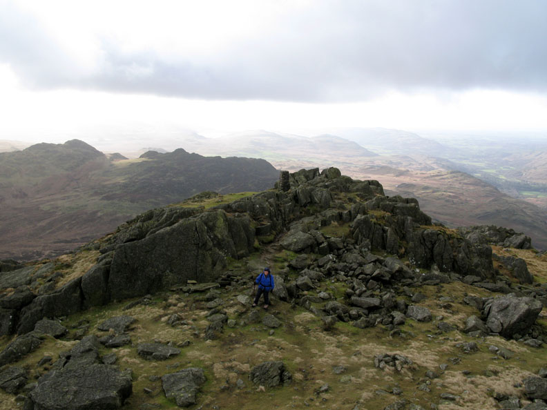
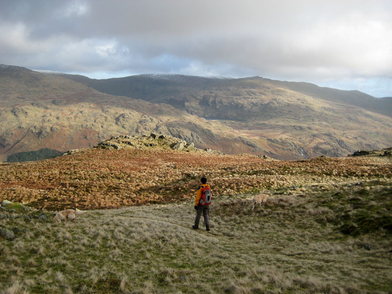
Harter Fell Trig Point . . . Bethan has enjoyed the climb by the look of it.
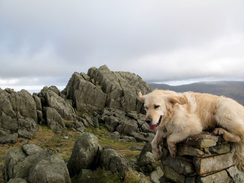
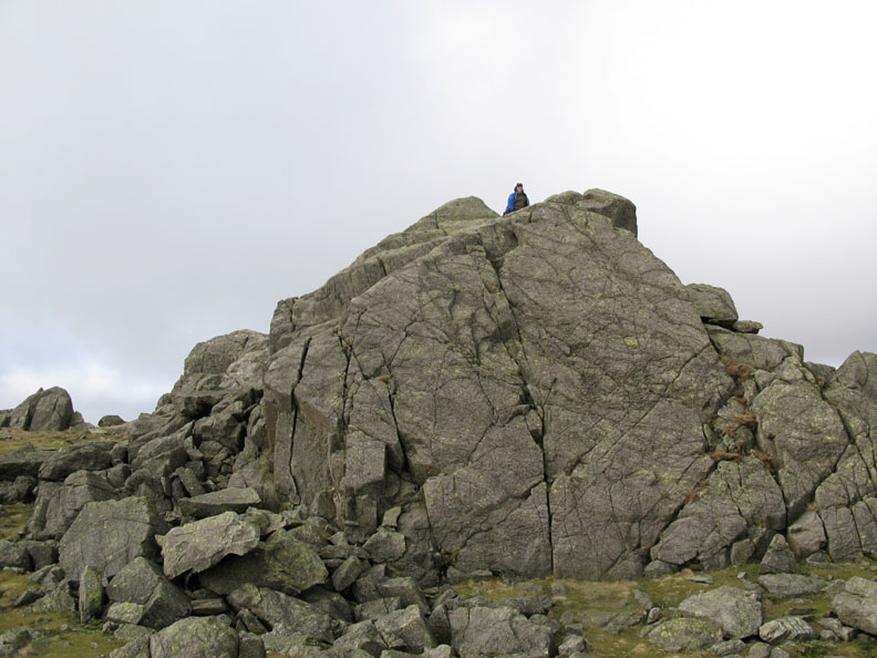
Harry climbs the trig point to be " top dog " Little did he realise that Harter Fell's stone trig point is not at the highest point. That honour goes to the rocks behind him.
Hat, gloves and a windproof jacket on to protect me against the cold breeze on the true summit. Bethan's ears are caught by the wind - bringing out the devil in her !
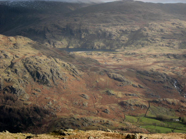
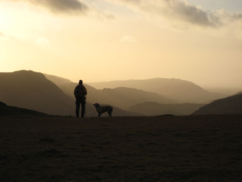
From our high vantage point we look down on Ann and the stone triangulation pillar opposite. Beyond are Green Crag, Rough Crag and Devoke Water, Muncaster Fell and the Irish Sea almost lost in the distant haze.
Ann's turn to climb the summit rocks The damp weather has made the normally easier ascent on the northern side rather more slippery today.
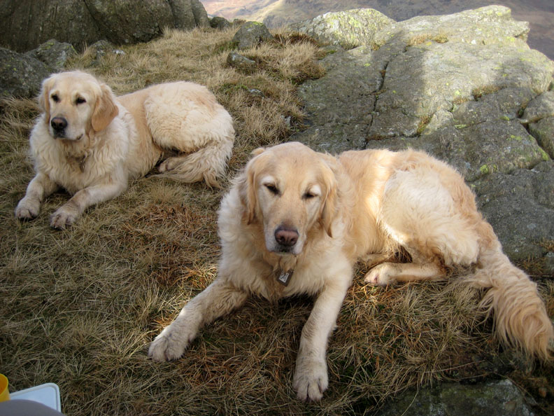
Time for a spot of lunch. Harry and Bethan wait expectantly for a few dog biscuits, maybe even a large crust of our sandwich if their luck is in.
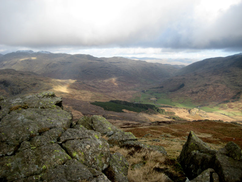
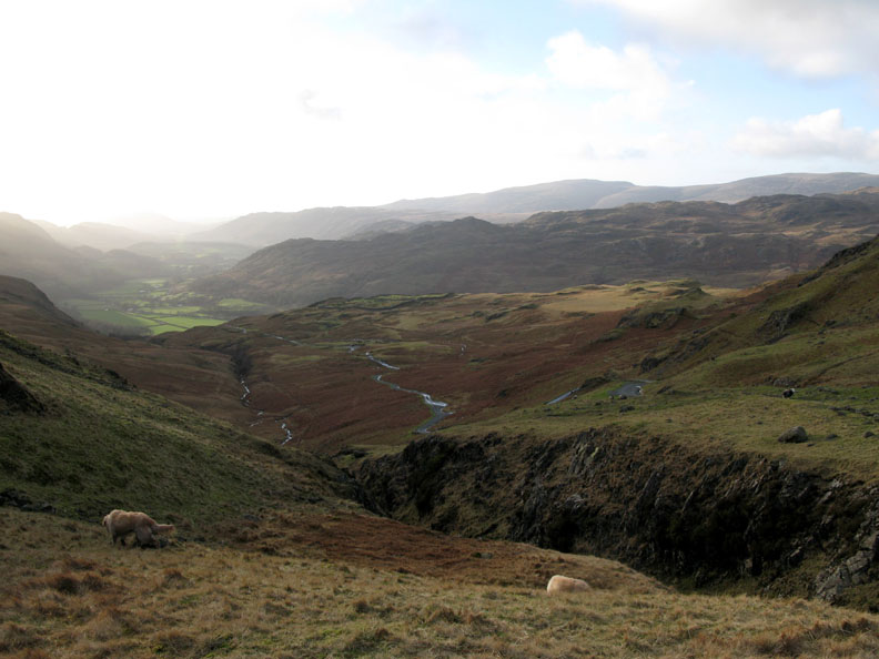
The lunch spot was chosen because of the shelter from the wind and for the view. This is the top end of the Duddon Valley, delighting in the unusual name of Wrynose Bottom ! The name comes from the Wrynose Pass where the road crosses over to Langdale and Ambleside beyond.
Directly across from us we could see Seathwaite Tarn nestled under Dow Crags.
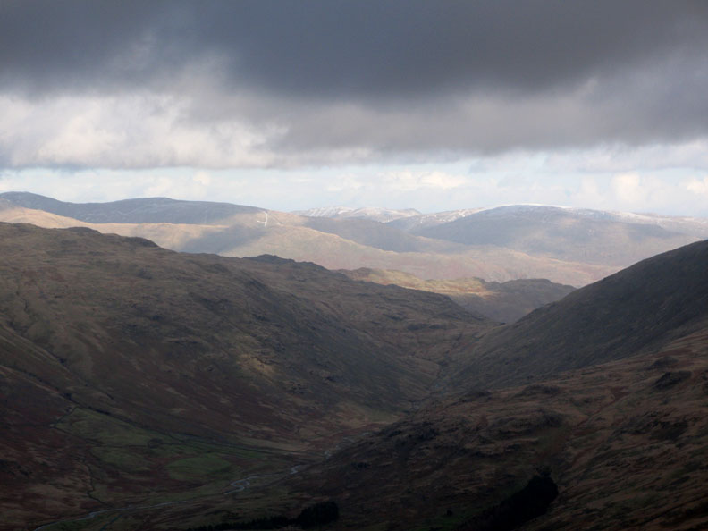
Zooming round to Wrynose Pass, with the snow capped tops of Fairfield and St Sunday Crags beyond.
Closer at hand, the fells are dappled with sunshine and deep shadows. Here the sun catches the top of Crinkle Crags.
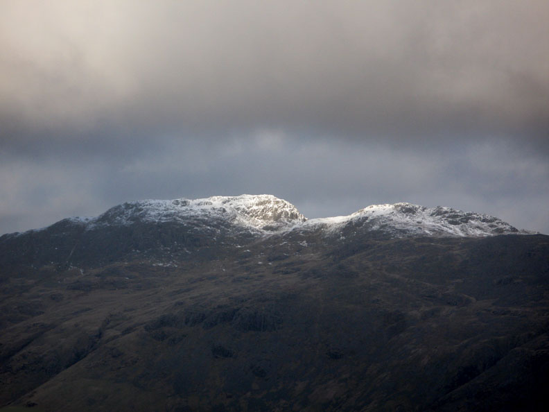
Another patch of sun crosses Bowfell , lighting up its snowy cap.
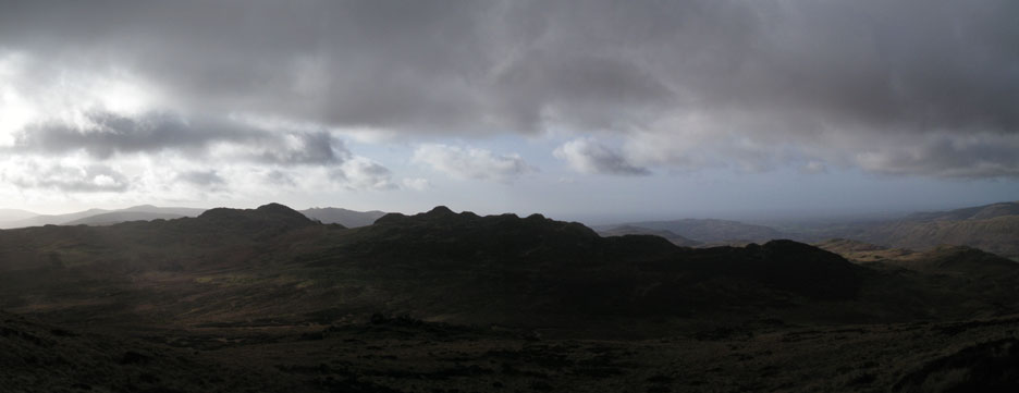
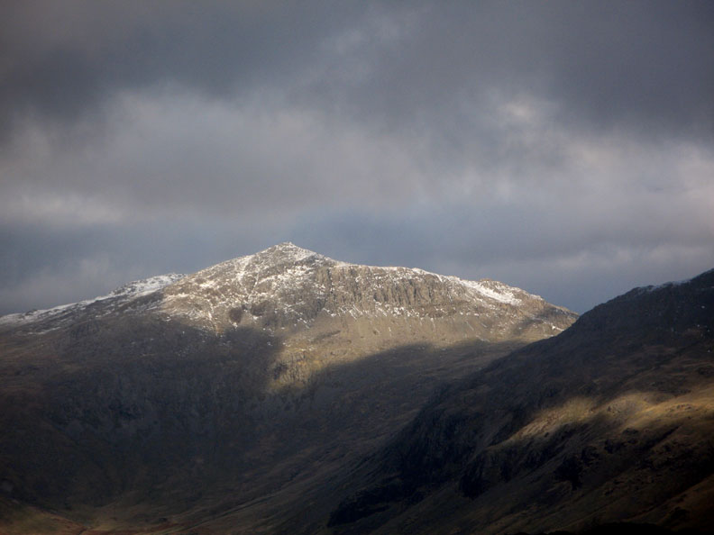
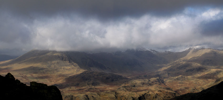
However the Scafells maintained their mantle of cloud for the whole time we were up here. Click here or on the photo for an wider annotated panorama.
Time to go . . . The cloud lifts slightly to reveal Coniston Old Man as we walk north towards the road at Hardknott Pass.
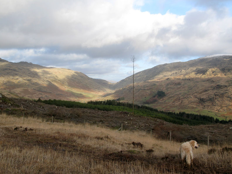
They've cleared a lot of forestry here and there are plans to revert this area to broadleaf woodland.
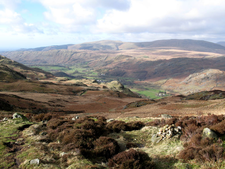
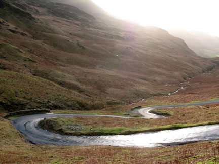
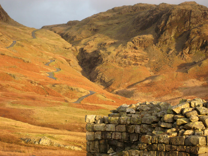
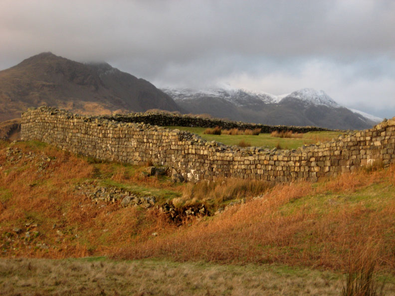
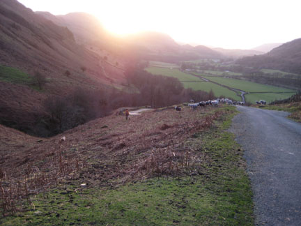
Round Peathill Crag and we get a clear view down Eskdale once again. The road winds it's way down the steep pass. On the hillside opposite is the old Roman Fort, it's walls and green grass just visible from here.
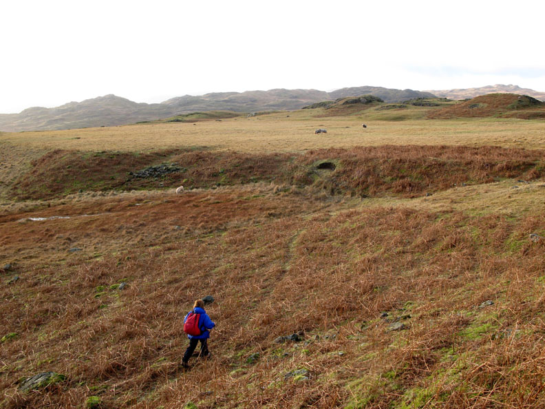
We didn't follow the road down, but instead we kept right and crossed the fell side to a broad, almost level patch of ground. This is believed to be the old parade ground for the Roman Fort of Mediobogdvm, or Hardknott as it is now known.
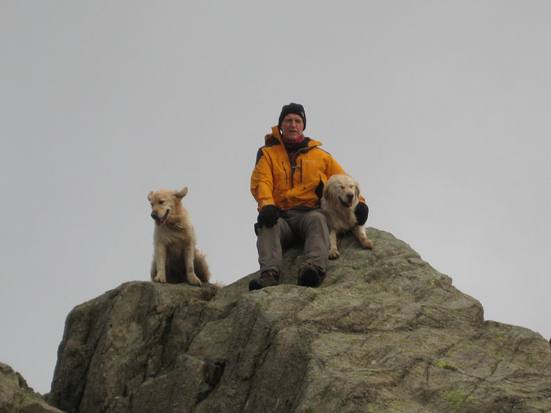
" One man and his dog "
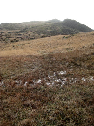
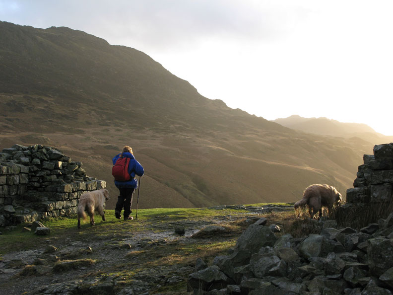
Looking back from the parade ground, that sunshine lights up Hardknott Fell behind us.
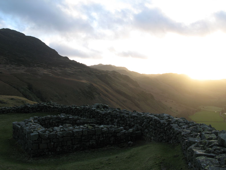
Down at the North Eastern gate to the fort now, looking back at the road as it climbs to the head of the valley.
Our route takes us down through the fort .
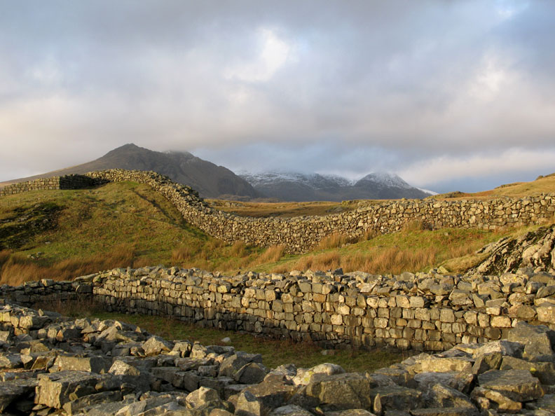
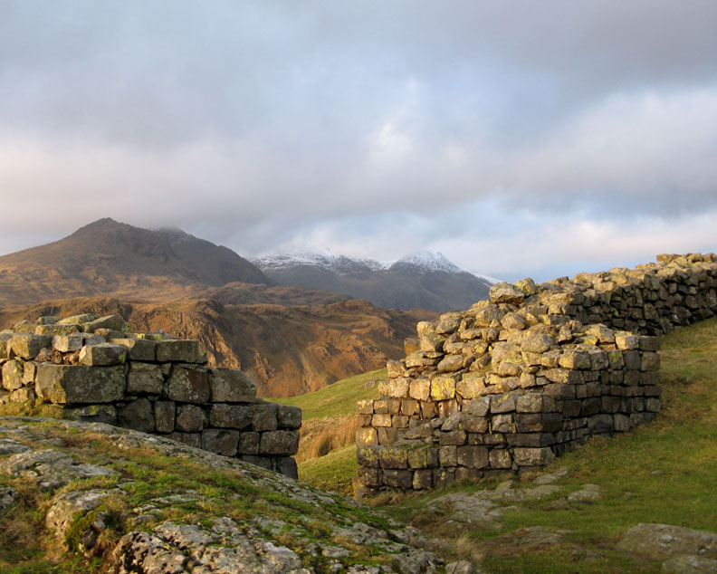
Quite a lot of the outer wall remains. In the foreground are the foundations of the Granary Store.
The Northwestern Gateway looks out over Upper Eskdale towards the snow covered peaks. In the olden days there would have been a gateway and sentries patrolling the entrance. Hold your cursor over the gateway above to picture the scene . . .
The foundations mark the site of the Corner Tower overlooking the valley below.
The same corner of the wall from the outside. The slight black layer in the wall are slates which mark the height of the wall as it was found in the recent past. The archaeologists partially rebuilt it when excavating the site.
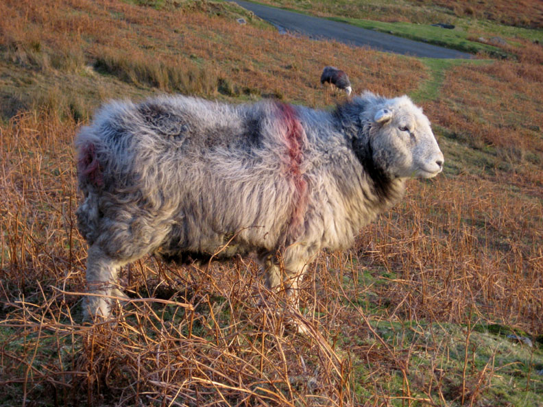
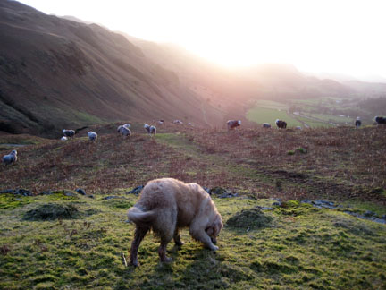
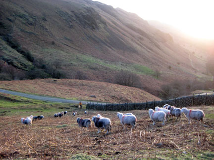
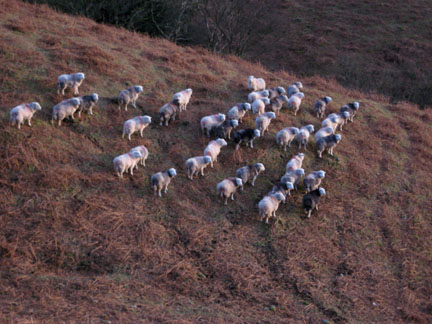
This is a Herdwick Sheep.
A scissors movement by myself and the dogs sends them back onto the fell and clear of the road. Complicated things sheep !
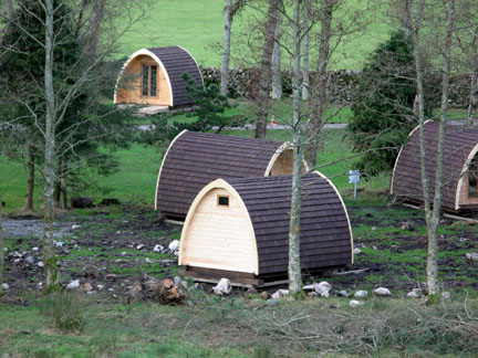
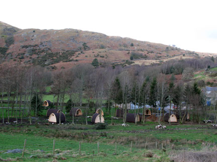
Four hours almost to the minute after leaving, we return to the car - just as the sun was setting behind Kepple Crags. Good timing and a good walk. - - - o o o - - - Post script : For those of you that know the Eskdale campsites, Hollins Farm has just taken delivery of a collection of "Hobbit" Houses. These camping Pods are a new venture on the Caravan and Camping Club site. They are available to rent - camping without the camping tent it seems.
New Camping Pods at Eskdale.
|
- - - o o o - - - Technical note: Pictures taken with my Canon G7 or Ann's Ixus Digital cameras. Resized in Photoshop, and built up on a Dreamweaver web builder. This site best viewed with . . . Soup and Sandwiches in the sunshine. © RmH.2007 # Email me here # Guest book (on the front page) Previous walk - 4th February 2008 An afternoon walk to Whinlatter A previous time up here - 25th December 2005 Christmas on Harter Fell
|