![]()

|
|
|
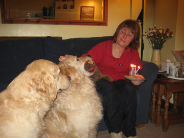
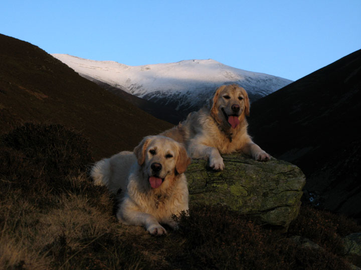
| Date & Time: Wednesday 16th January 2008. 3.15 pm start. Location of Start : The car park at Lanthwaite Green, Cumbria, Uk. ( NY 159 208 ) Places visited : Lanthwaite, top bridge Liza Beck, lower slopes of Whin Ben, back by the lower bridge. Walk details : 1.1 mls, 500 ft of ascent, 1 hour. Highest point : Side of Whin Ben 890 ft ( 275m )Walked with : Ann and the dogs, Harry and Bethan. Weather : Late afternoon sun and blue sky after a dull, damp, cold day. Harry (toy in mouth) was four years old this week but Bethan's more interested in the cake ! |
|
|
Today was forecasted for a damp day clearing in the afternoon. They were right ! After a morning dealing with a new car MOT and then spending an hour or so chopping logs in the cold, the skies suddenly cleared and the sun came out . . . a good time to get out for that walk.
Overnight rain had fallen as "hill snow" on the high ground of Green and Great Gable.
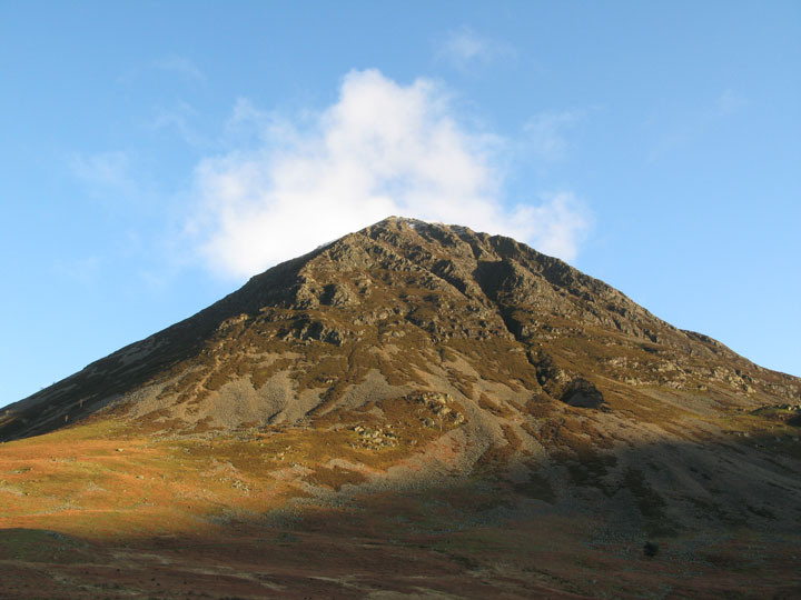
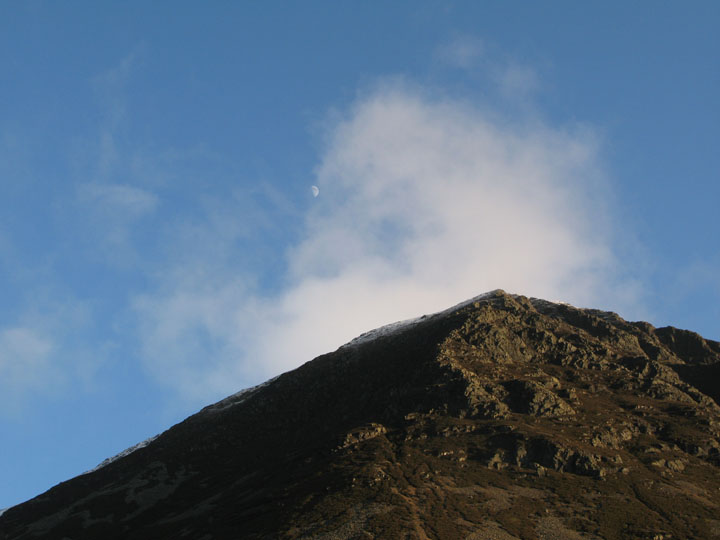
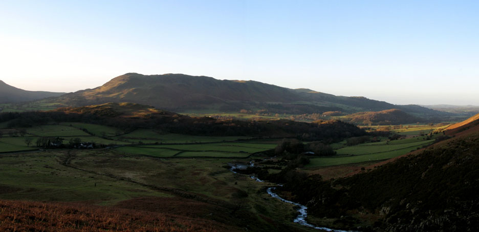
Grasmoor from the car park - there's a suggestion of snow on the top here too.
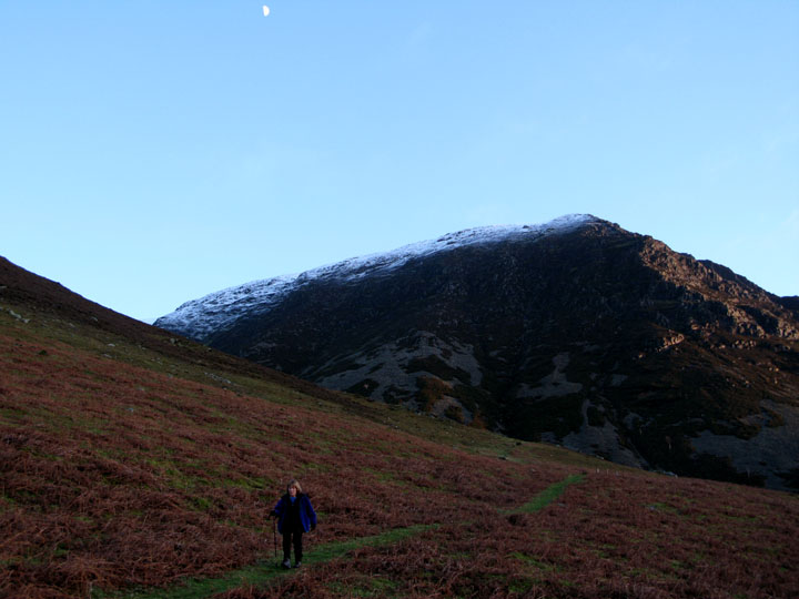
Zooming in as the last of the cloud cleared, we could see more snow and a late afternoon moon high above the summit.
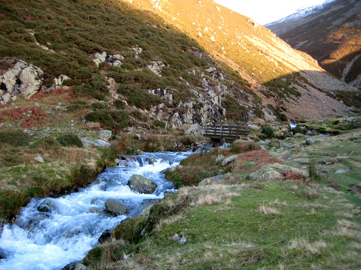
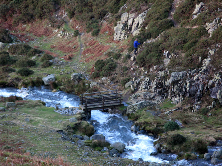
Ann made directly for the top Liza Beck bridge but I made a slight detour.
Sunshine on distant Low Fell and Lanthwaite Hill, from the bridge.
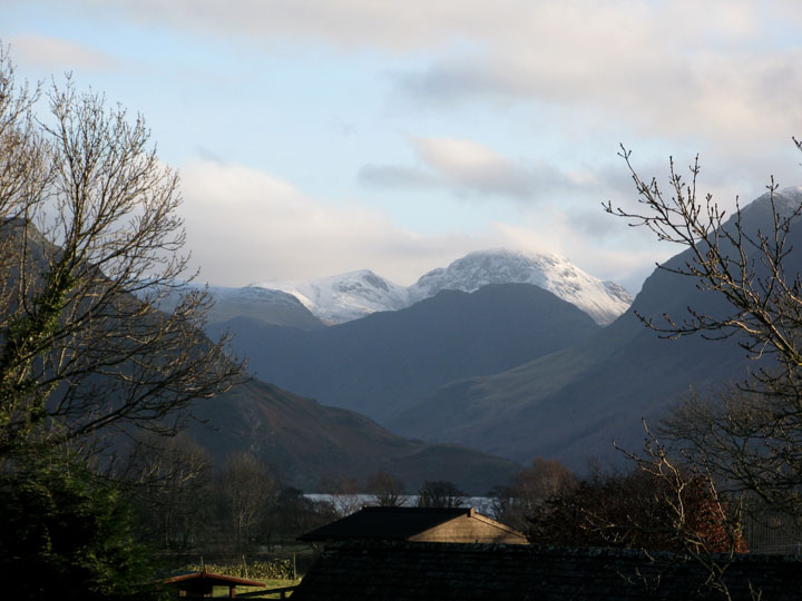
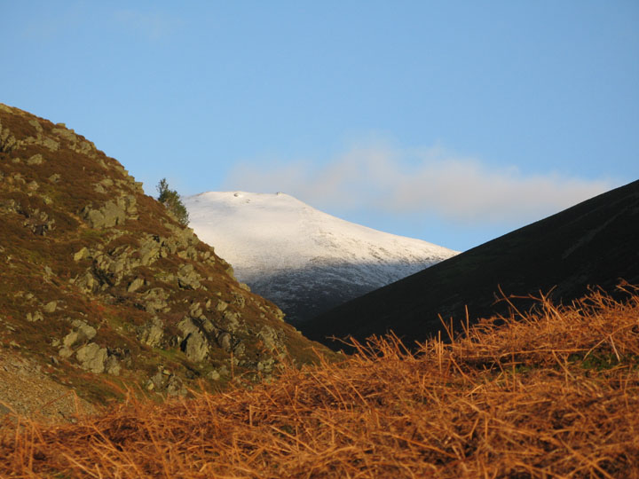
I had diverted up the lower slope of Grasmoor because I had seen the tip of a snow covered peak from the car park. Up on the bracken covered slope the summit was revealed as that of Sand Hill at the head of Gasgale Gill valley.
A little higher - would I see Hopegill Head ?
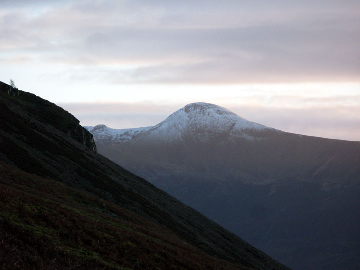
Zooming in slightly - yes there it was - the full skyline from Sand Hill to Hopegill Head.
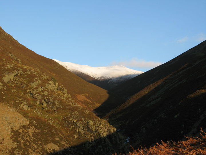
From here it looked like some distant Himalayan peak with the roaring water of a major river system leaving the hills for the distant plains. Ok . . . no need to get carried away !
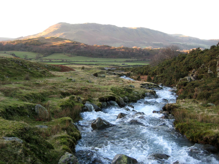
Turning to see how far Ann was ahead, I too caught a great view of Low Fell and Fellbarrow. The Solway and Scotland were visible to the right today . . . but only just.
She had just started the climb from the bridge up towards Whin Ben and the Whiteside Ridge.
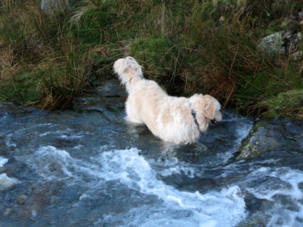
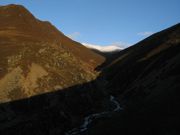
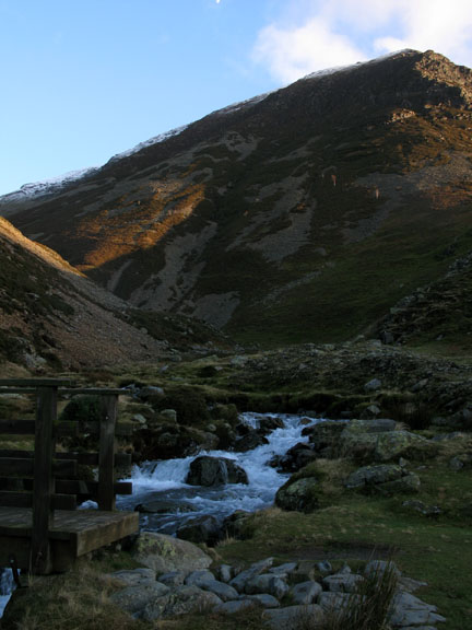
In the fading sunlight, we paused to look at the view at the head of the valley . . . the dogs paused for a moment . . . looking at me. They are really tuned into the camera and as soon as as they heard the electronic sound of the shutter they were up and off - job done.
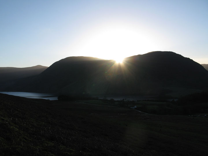
No chance of a second shot before the sun had set over Mellbreak.
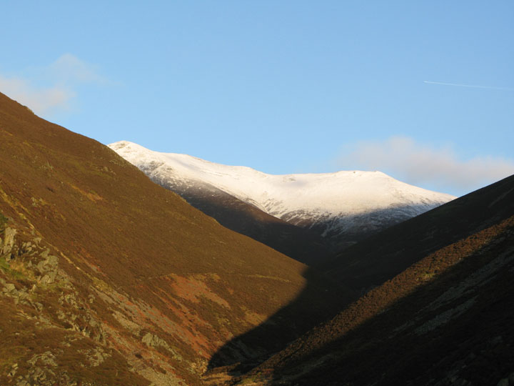
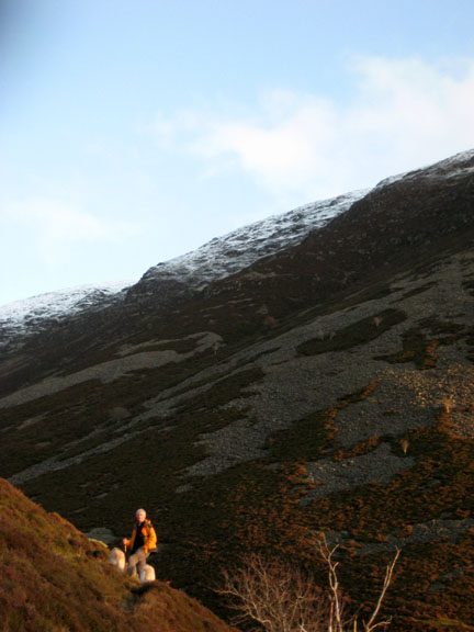
Making our way back off the fell side. There's probably more snow up on Grasmoor than we think.
Red Pike across the valley has a similar covering of "hill snow".
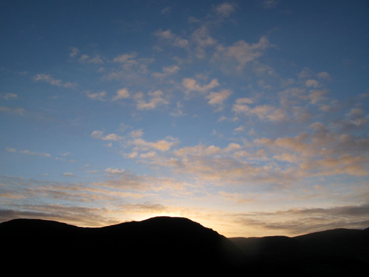
Almost back at valley level, the sun has set, but the sky shows the tell tale signs of more cloud out to the west. [ By the time I had downloaded the photos and built the page it was raining again ! ]
|
- - - o o o - - - Technical note: Pictures taken with my Canon G7 or Ann's Ixus Digital cameras. Resized in Photoshop, and built up on a Dreamweaver web builder. This site best viewed with . . . a few extra hours in the next sunny spell please. © RmH.2007 # Email me here # Guest book (on the front page) Previous walk - 12th January 2008 Catbells with Jenna A previous time up here - 8th April 2007 Grasmoor via Dove Crag Arete
|