![]()

|
|
|
| Date & Time: Friday 28th / Saturday 29th Sept 2007. Location : Worm's Head, Rhossili, Gower ( SS 420 870 ) Places visited : Walk 1, Rhossili, Kitchen Corner, the Coastguard Lookout Places visited : Walk 2, Three Cliffs Bay. Walked with : Ann and the dogs, Harry and Bethan. Weather : More sunshine but cloudier on Saturday than Friday. Worm's Head from the end of the road at Rhossili, Gower. Day two. |
|
|
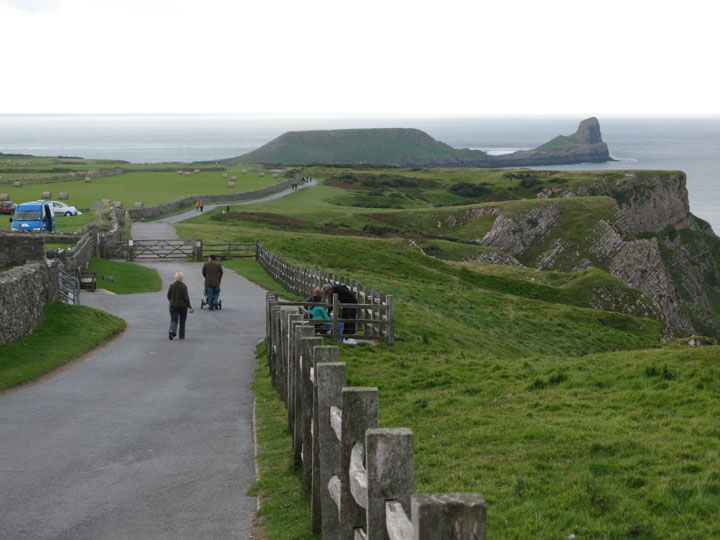
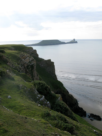
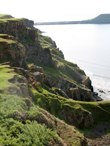
After a brilliantly sunny walk to Mewslade, we lunched at the tearooms in Rhossili and then walked the cliff path out onto the headland.. This is still limestone country and beyond the headland, there's an island that sticks out into the sea like a serpent, known as Worm's Head.
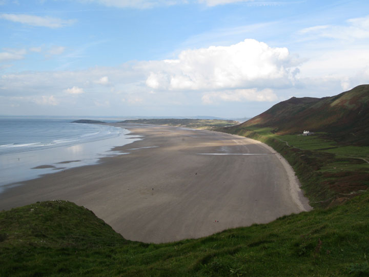
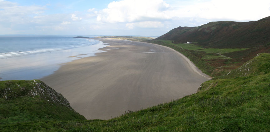
More wonderful beaches and golden sands. This is the big surfing beach of Gower. Rhossili Bay faces west and thus is open to the Atlantic, or at least the wide open stretches of the Bristol Channel.
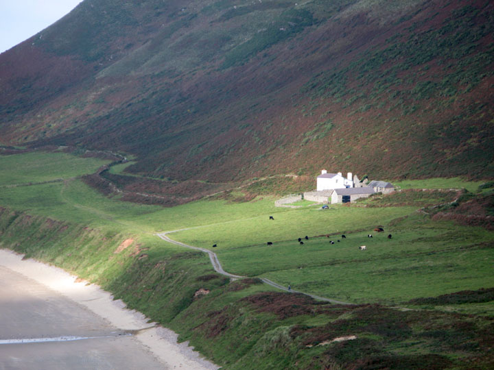
Zooming in on the photo above, we can see the Old Rectory is an isolated building half way along the bay. The local Priest had responsibility for both Rhossili at this end and Llangennith at the other end, so the church built his home midway between the two - a classic compromise position. In it's day it was reputedly a haunt for smugglers but is now owned by the National Trust and available to rent as a holiday cottage. Warning - it's a fair walk from the pub!
Today we would be walking the opposite direction though, down the road and out onto the headland.
These cliffs have been notorious over the years for people accidentally falling over the edge. The problem is the sudden drop and the slippery nature of the short grass at it's edge . Humans in slippery shoes do not have the same grip as sheep on all fours. Take Care !
Rhossili Downs at the back of the beach is also a great hand gliding location, especially when the wind is blowing from the west.
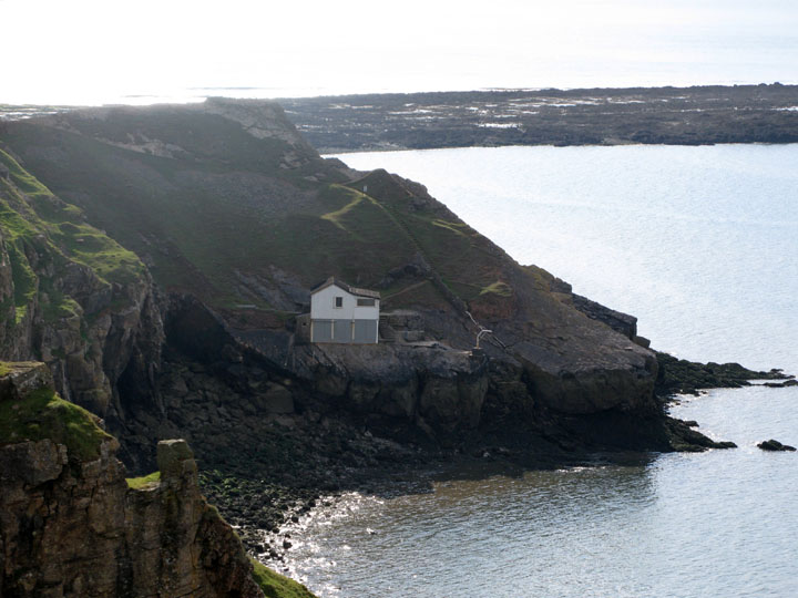
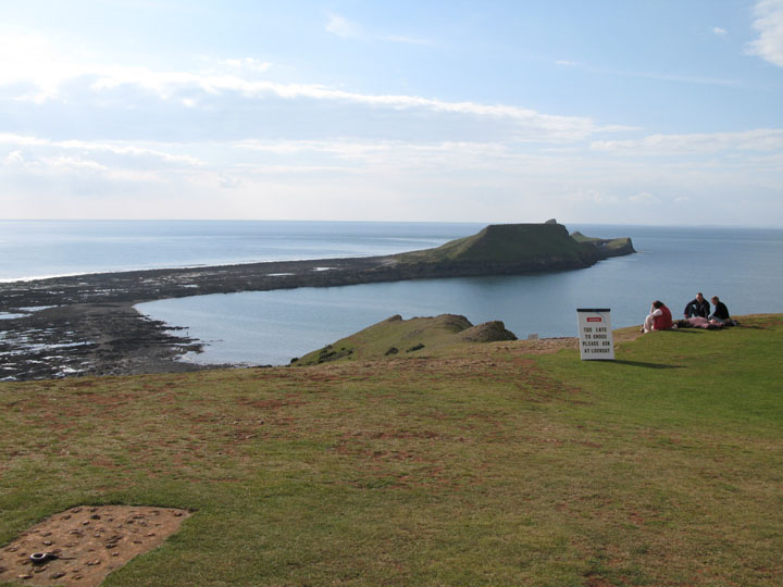
Despite the big drop, there are several paths down the cliff. Some are used by fishermen in order to enjoy fishing off the rocks, but this one leads down to the property known as Kitchen Corner, perched clear of the waves in the secluded bay at the end of the headland. It's low tide now and the causeway to the island is also clear of the water.
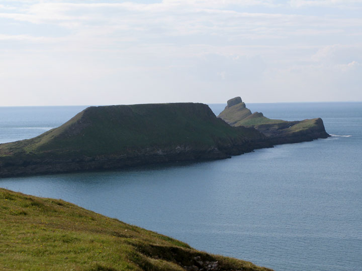
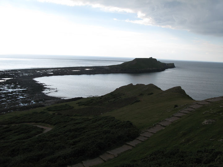
The island consisted of two parts - the Inner and Outer Head joined to the mainland by the tidal causeway.
There's a natural arch out there, and adjacent to the outer head there's a blowhole that shoots water up nearly to the height of the end stack on rough stormy days.
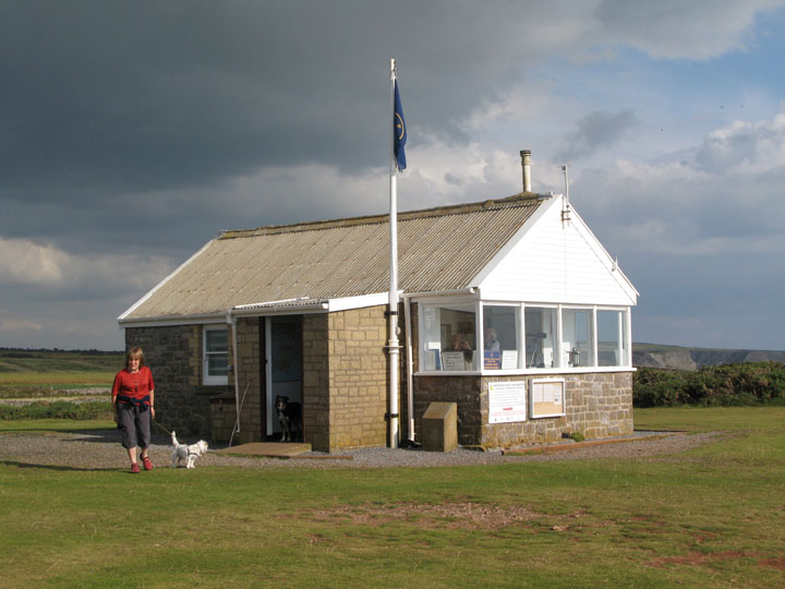
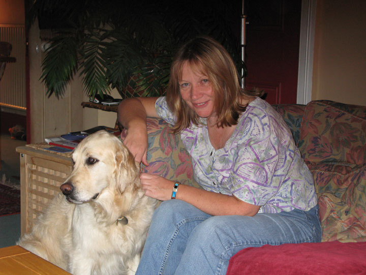
Ann with Sally at the end of the road, next to the old Coastguard Lookout. In the old days before ship-to-shore radio was common this was manned as a lookout as it gave first warning of ships in trouble in the Channel. In it's day it has been an information hut for the Area of Outstanding Natural Beauty and the National Trust, but I see it is back in use as a coastguard lookout, manned by volunteers of the Coast Watch Service.
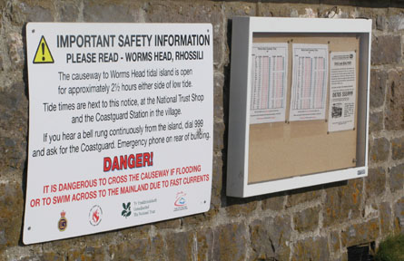
The tide is on the way in now, and the notice says there's not enough time to get to the island and back safely. Still, it's a great place to stop and take the view, whether you plan to walk further or not. We walked it about twenty years ago and it took us about four hours or so.
By the time we looked around the sun had gone behind the cloud and we turned back towards the village.
Back near the tarmac road now, the bay still looks spectacular, even in the shade. It was this view, only slightly more obliquely, that we enjoyed over lunch in the tearoom in the village just a few hours earlier. May we commend the Bay Bistro and Coffee House to you if you are visiting.
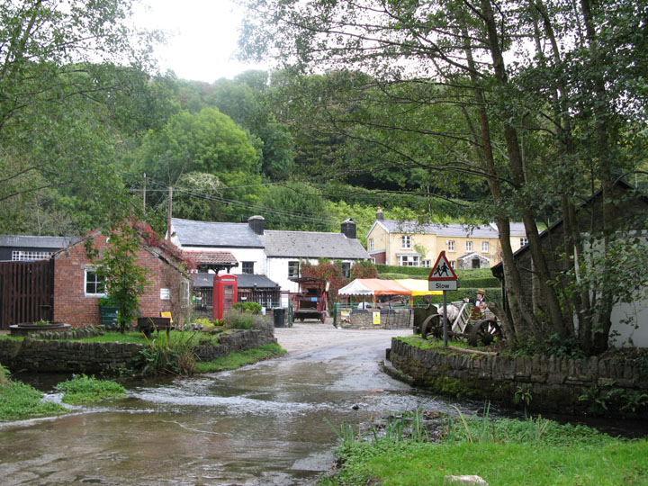
On the way back to town we diverted through the old village of Parkmill. The old water mill has been restored as a heritage centre and is a great little tourist attraction. You can still drive through the river if you want.
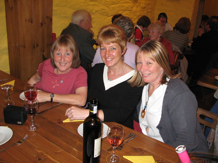
Les Girls - an evening out at Vincent's Restaurant - Ann, Gill and Sandra.
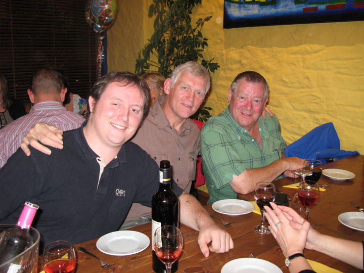
Les Hommes - (my son)Gareth , myself and Mike - a great evening out and no washing up ! - - - o o o - - -
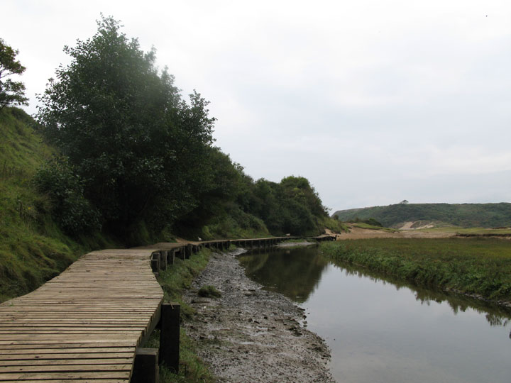
Next day we returned to the Parkmill Valley and followed the river down to the sea. Over the last few years there has been a good boardwalk built over this particularly muddy section, which helps tremendously.
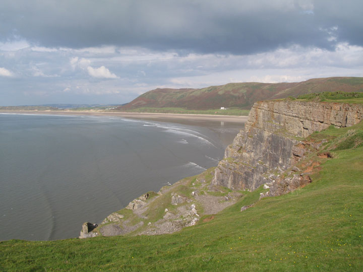
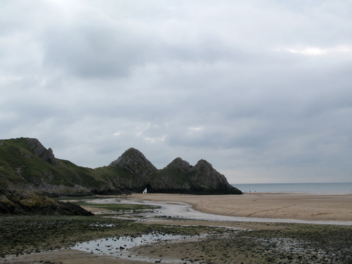
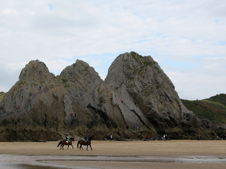
Three Cliffs Bay. This was the location that featured in the recent TV programme about "Britain's Best Views". ( It came second in the viewer's poll to the the view of Wasdale in the Lake District by the way.)
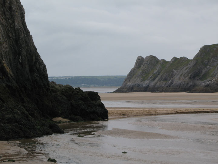
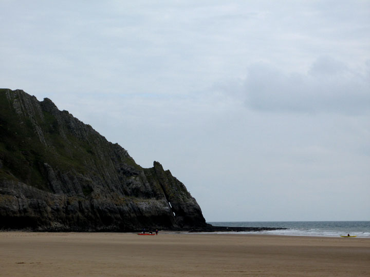
The river sweeps across more golden sands and out past the outer cliff of the three. Beyond in Tor Head and in the distance Oxwich Bay and the inner part of it's headland.
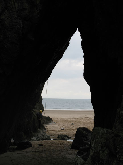
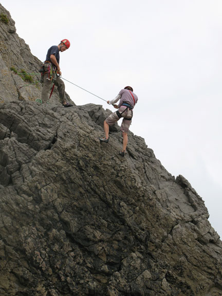
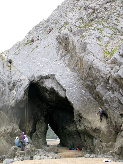
The cliffs here have always been a favourite haunt for the sport as the climbs are interesting and the handholds good. The limestone is not always the most solid of rock but that aside there are some great routes.
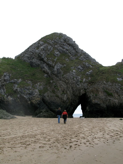
Pobbles Bay Headland and another, but less accessible rock arch.
More sport . . . this time horse riders enjoys the low tide sands.
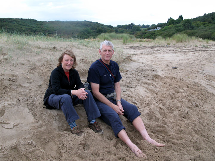
We however, are just enjoying a simple walk across the bay.
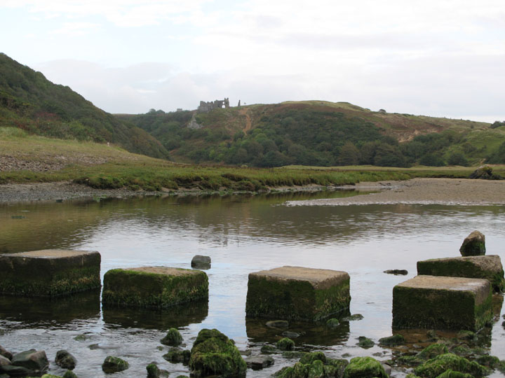
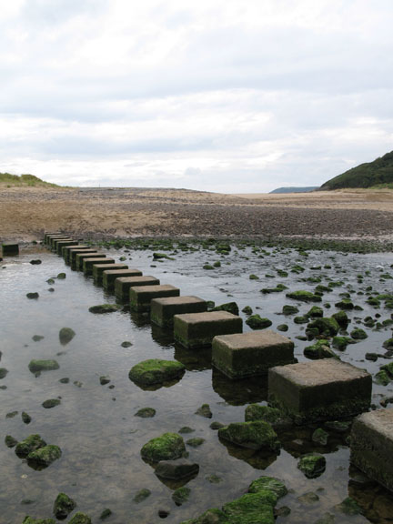
A circular route around the bay brought us over to the stepping stones.
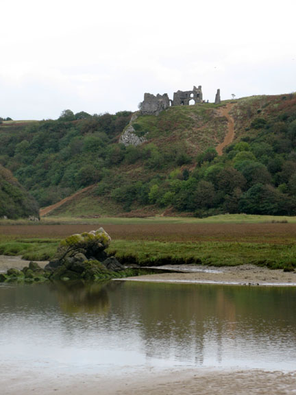
They lead up to the headland and camping site on this side of the bay, but we will retrace our steps back up the valley. Ahead is the remains of Pennard Castle perched high above the river.
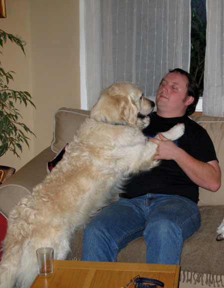
Bethan, quite content in Sandra's company.
|
- - - o o o - - - Technical note: Pictures taken with a Canon G7 Digital camera. Resized in Photoshop, and built up on a Dreamweaver web builder. This site best viewed with . . . Good friends, family and ex-neighbours. Go to Top - Go to page 1 -2- 3 4 5 6 7 - Go to Next - Go to Home Page A previous time here - 13th to 21st May 2005 A visit to Swansea and Pembrokeshire.
|