![]()

|
|
|
|
Date & Time: Tuesday 24th July 2007. 4.20 pm start. Location of Start : Haveriggholme Farm, Torver, Cumbria, Uk. ( SD 261 919 ) Places visited : Haveriggholme, Yew Bank, Hodge Wife Gill, Beacon Tarn, Beacon Fell (Blawith Fell), Mere Beck, Greaves Ground and back to the start. Walk details : 4.75 mls, 1250 ft of ascent, 4 hrs. Highest point : Beacon Fell 830 ft ( 255 m)Walked with : Ann and the dogs, Harry and Bethan. Weather : A fine sunny day with only a slight breeze. Our walk today was in southern Lakes which we reached via the Corney Fell mountain road. |
|
|
Today's walk took advantage of the fine weather and the long summer evenings at this time of year. A three o'clock start from home and a drive down the west coast of Cumbria still gave us time to complete a four hour walk in the Blawith Fells near Coniston, and still get off the fells well before dark. The Corney Fell road short-cuts the south western corner and avoids driving the extra distance around Black Combe in order to get to Torver. On the way over it gave wonderful views of the central and southern fells as we climbed the mountain road and dropped down the other side to Broughton. It was a short drive up towards Torver and we soon found ourselves at Haveriggholme Farm at the start of our walk.
Scafell, Bowfell and Crinkle Crags covered in a little cloud, the Coniston Fells clear but in shadow, as we top the Corney Fell road.
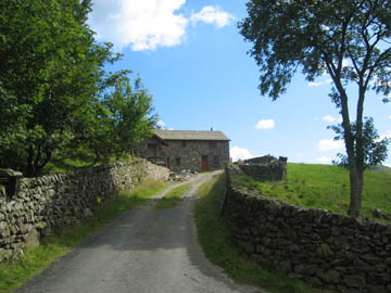
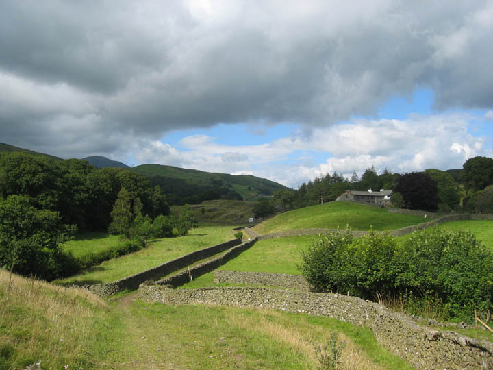
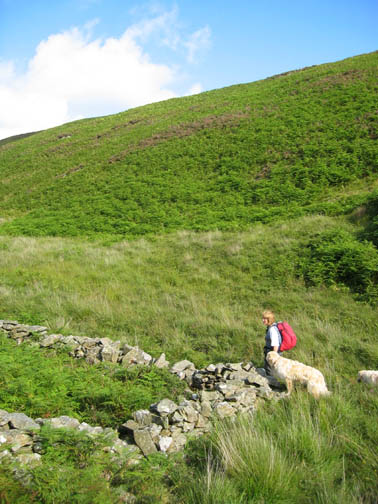
Beyond the farm, the road continues as an unmade track which would give us access to Yew Bank, the first of our summits today.
Yew Bank on the left, the Knott on the right. The green road would take us up to the col from where we would climb the skyline to the left.
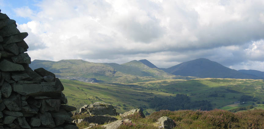
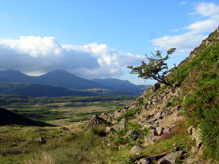
White Pike, Brown Pike, Dow Crag and Coniston Old Man emerge from behind the Torver Fells as we gain height towards the col.
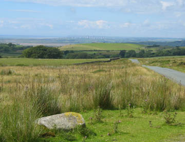
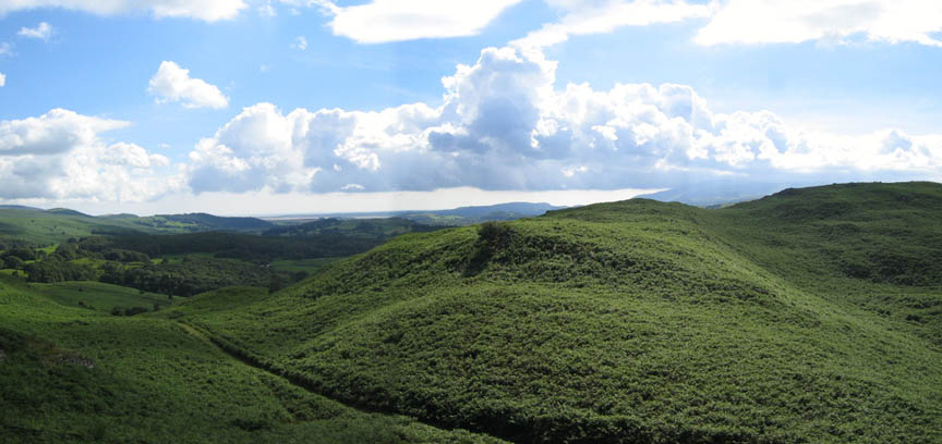
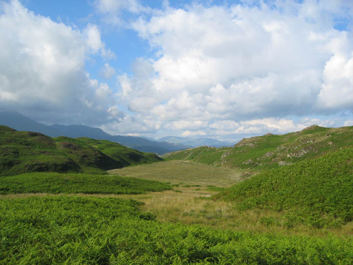
Looking west to the Duddon Estuary with Black Combe covered in slight cloud to the right. In front of us The Knott is covered in bracken, and unfortunately bracken would be a major feature of today's walk.
From the top of Yew Bank the views are superb. The Walna Scar fells, Dow Crag and Coniston now seen from a higher perspective. Often these lower fells like Yew Bank enjoy views out of proportion with their stature due to being set back from high fells that surround them.
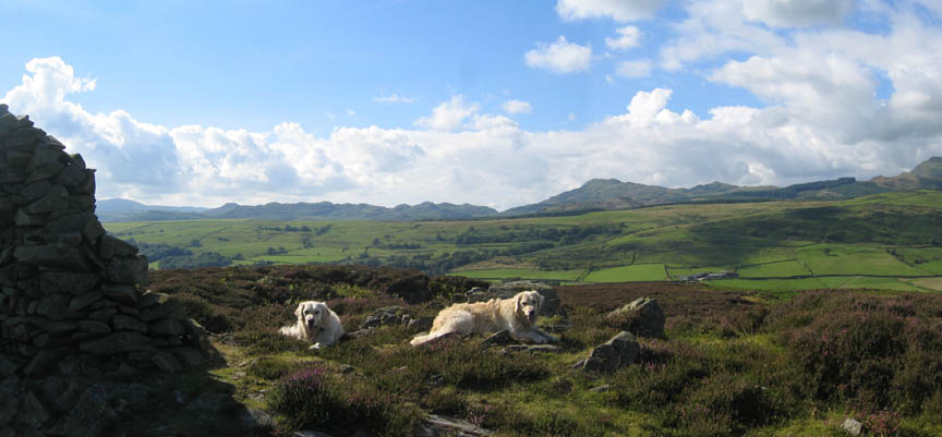
Further west behind Harry and Bethan, the outlying Caw, Stickle and Dunnerdale Fells. as seen from Yew Bank.
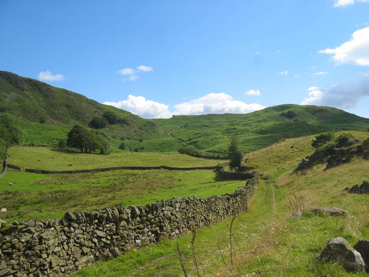
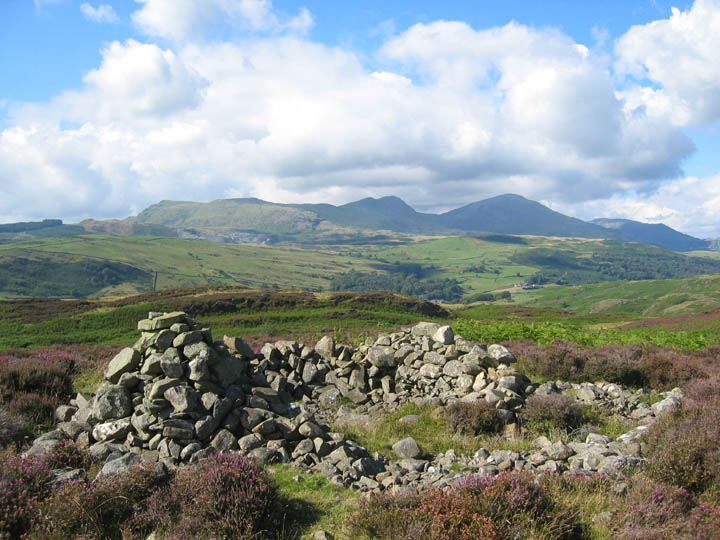
Our next navigational landmark is marked as an ancient cairn on Rattan Haw. The ancient stone collection now has a more modern 'cairn and shelter' look about it. It was about here that the walk started to go down hill, literally and metaphorically. We decided to attempt to cross the undulating fell in order to reach Wool Knott just south of Beacon Tarn. It was the third summit we had picked for the walk, but paths were non existent. Patches of dense bracken and boggy ground reduced our speed to about one mile an hour, and precise navigation was difficult as one small stream looked like the next, or was it the last ?
Somewhere around here Ann had a slight sense of humour failure !
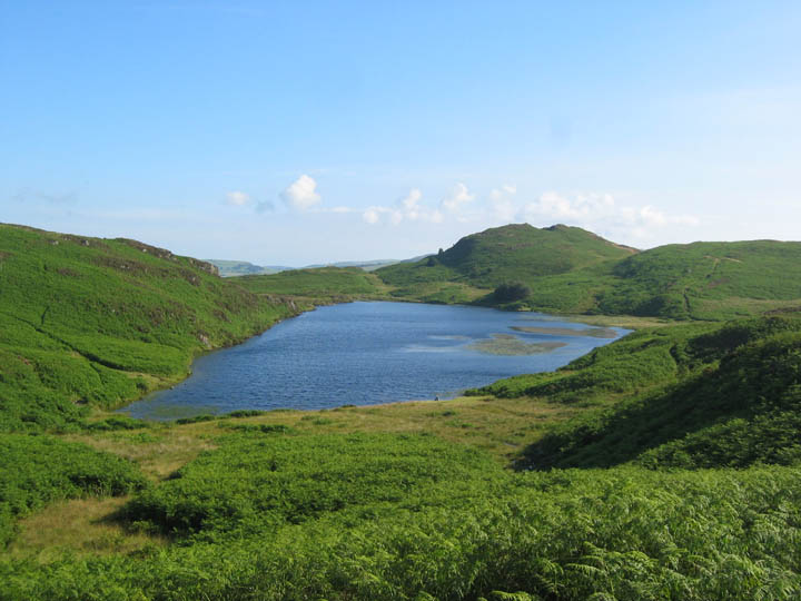
Our route was not exactly planned in advance, but we took comfort from the fact that the route outlined in Wainwrights's book looked equally impossible. Nearly fifty years on the paths had changed, the bracken grown considerably, and cairns and sheepfolds were extremely difficult to find. In view of our slow progress we changed our plans, aimed for Beacon Fell and turned the corner to meet Beacon Tarn from a more northerly direction.
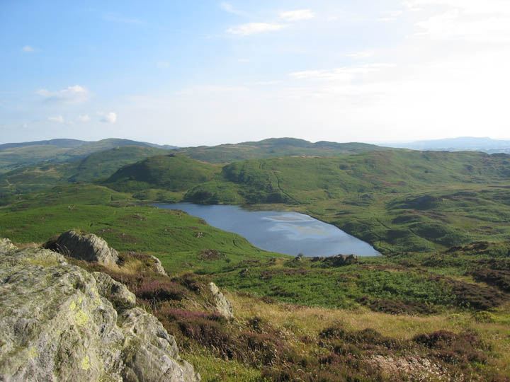
Blue skies, blue water, glorious sunshine, too much bracken, but the beauty of Beacon Tarncould not be spoilt. Oh yes . . . there's Wool Knott in the background !
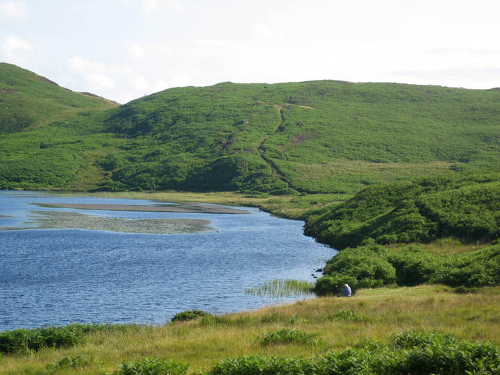
We made our way down to the water side. Could that be the ghost of Alfred Wainwright sitting quietly by the lake? The grey hair and stance certainly matched some of the self portraits that grace his guide books, as this gentleman relaxed with his 'flask of tea' by the water side.
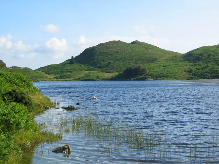
Bethan had other ideas on how to relax as she set off for a quiet swim by herself.
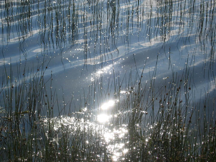
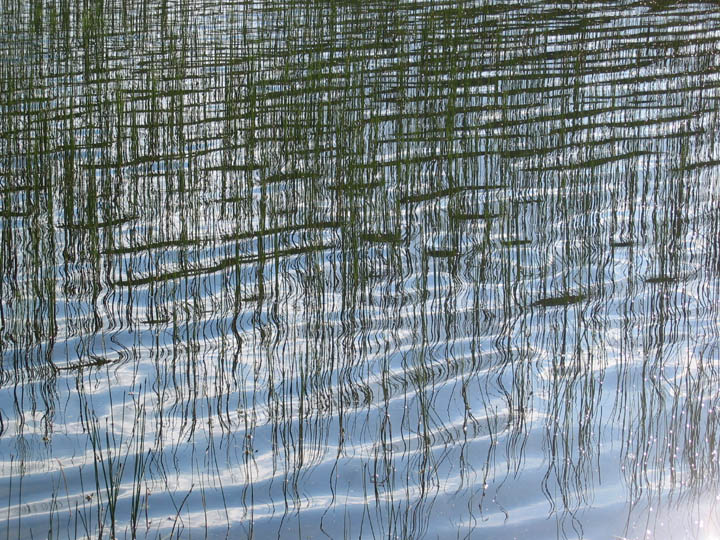
Meanwhile we sat and enjoyed an afternoon snack and watched the ripples, causing the sun to dance across the surface.
"Reeds and Ripples" - a study in light and texture
. . . and who was making some of those ripples . . . who me ?
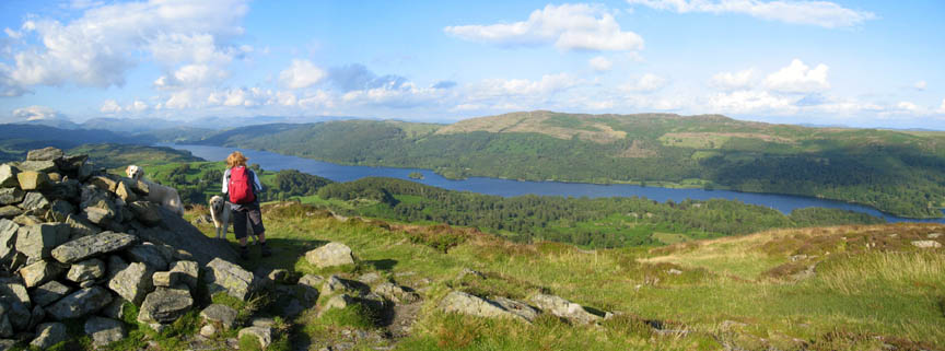
Still the time was getting on and there was plenty more ground to cover, so we made a move and started our climb of Beacon Fell itself.
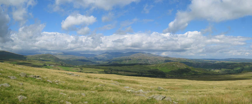
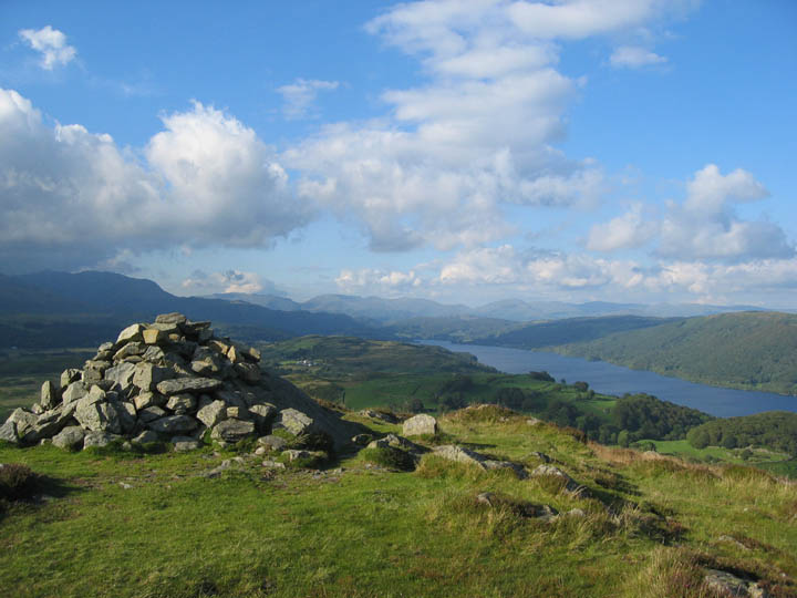
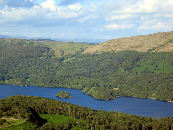
More wonderful views north and east this time, along the length of Coniston water.
Below us the crags and hamlet of High Nibthwaite, with the boats moored at the bottom end of Coniston.
Peel Island, beloved home of the Swallows and Amazons summer camps.
A fuller panorama of Coniston Water.
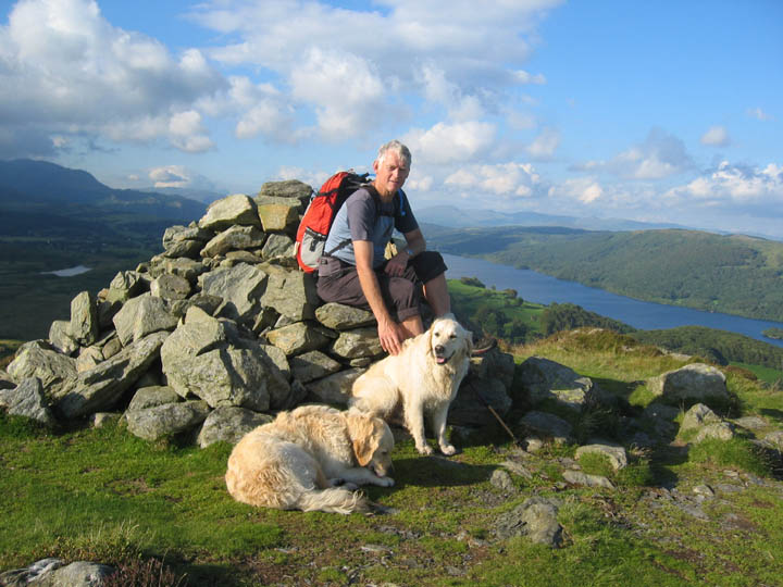
Ann takes the camera for a photo of myself - should never have started her off - the pictures look no different to mine !
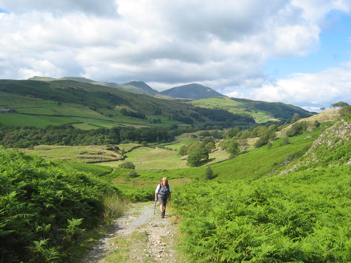
Nearly seven in the evening now as we start down from Beacon Fell.
Early evening sun as we regain the Cumbria Way path north of Beacon Tarn.
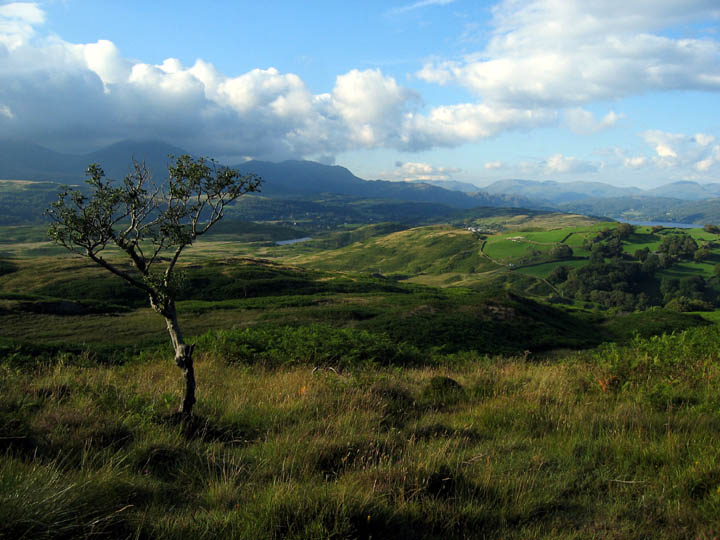
A stunted Holly tree grows on the moorland above the Tottle Bank fells
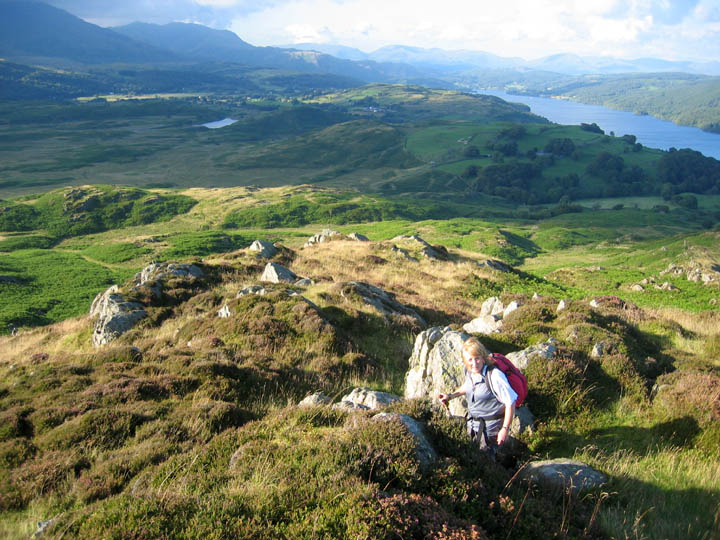
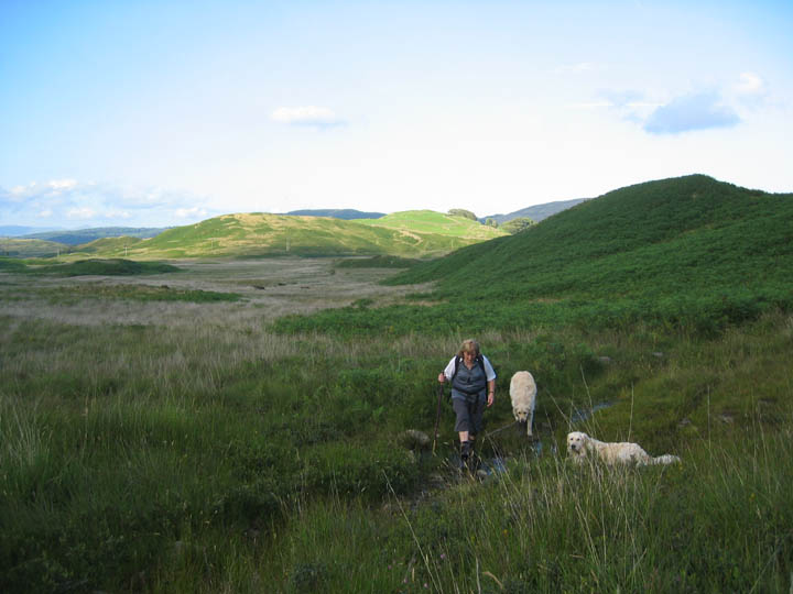
Leaving the well defined path we follow a right of way path around the top of Stable Harvey Moss. Sometimes it is clearly defined, sometimes we dive into a muddy section, sometimes through a stand of bracken (again), but a keen eye usually found the route. At least it was better than the central part of the walk where we had no path at all.
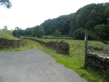
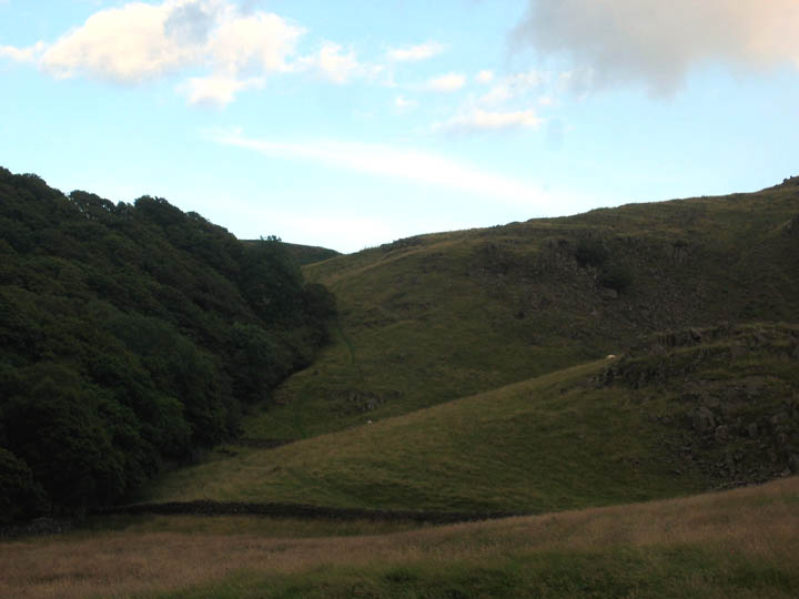
The trees to the left cover the fell side of Greave Ground farm as we look back at our path which has descended as planned from the Torver Fells. We're back down to the minor road now and it's a short walk to our waiting car at Haveriggholme.
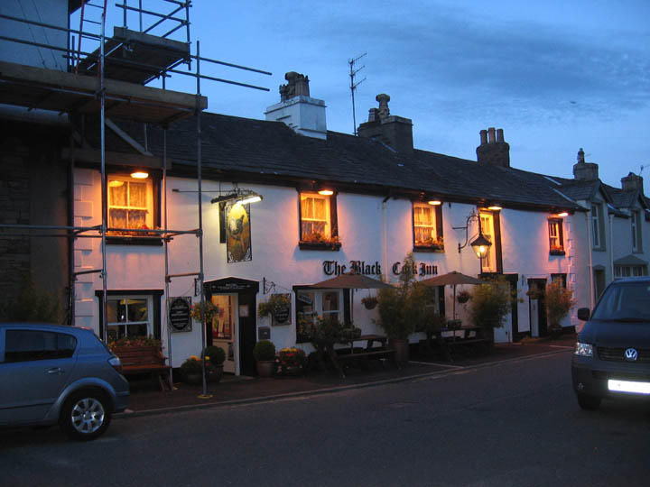
Darkness is slowly descending as we find a delightful spot and some supper at The Black Cock Inn in Broughton.
|
- - - o o o - - - Technical note: Pictures taken with a Canon Ixus Digital camera. Resized in Photoshop, and built up on a Dreamweaver web builder. This site best viewed with . . . a periscope for seeing over some of the high bracken. (Ann's suggestion !) Previous walk - 20th July 2007 Miterdale and the Wasdale Screes A previous time here . . . . . (remember to compare with the photos at the top of this page)
Over the years we spent 48 nights at this site, the second most visited location we ever stayed at with the caravan. Todays walk, even though we only stayed there last 10 years ago, had also been a bit of a nostalgia trip too ! Next walk - 26th July 2007 A visit to Force Crag Mines, Coledale
|