![]()

|
|
|
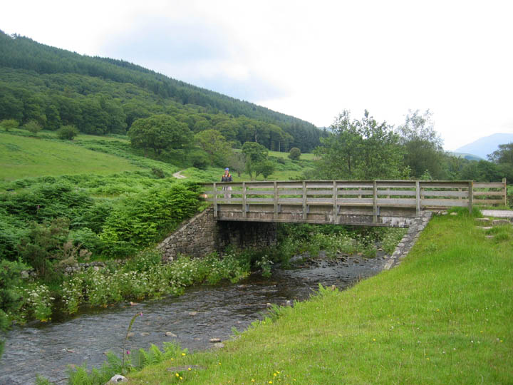
| Date & Time: Friday 20th July 2007. 11 am start. ( NY 147 011 ) Location of Start : The Porterthwaite car park, near Eskdale Green, Cumbria, Uk. Places visited : Miterdale Forest, Irton Fell, Whin Rigg, Illgill Head, Burnmoor Tarn, Miterdale, Low Place Farm, and back down to the car park. Walk details : 7.8 mls, 2150 ft of ascent , 5 hrs 45 mins. Highest point : Illgill Head 1755 ft (535m)Walked with : Jo, John, Ann and our collection of five dogs. Weather : A cool cloudy day, threatening rain but it never arrived. Porterthwaite Bridge at the end of the metalled road. |
|
|
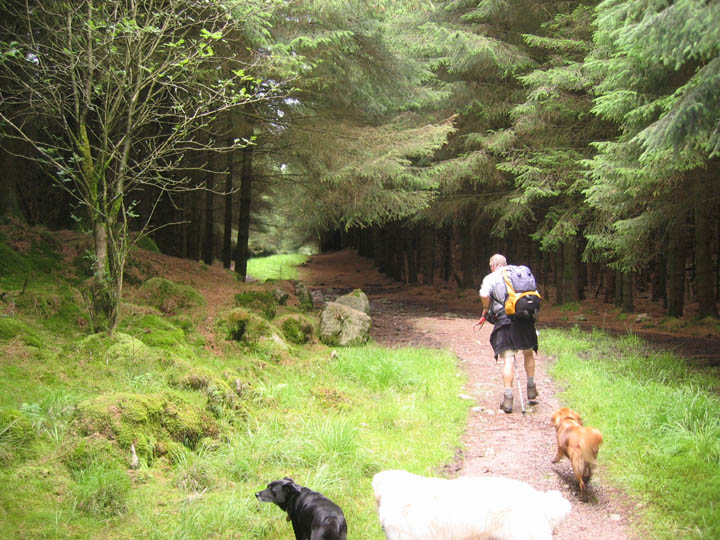
Crossing the bridge, we first headed up onto Irton Fell through the forest.
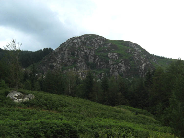
Great Bank, Miterdale (pronounced 'might-er-dale' by the way) Anywhere else this beautiful crag would be a visitor attraction and postcards would highlight it's beauty. Tucked away here in Miterdale it is hidden away, only to be viewed close up by the occasional fellwalker or passing local, or from afar by eagle-eyed passengers on Ravenglass to Eskdale Railway.
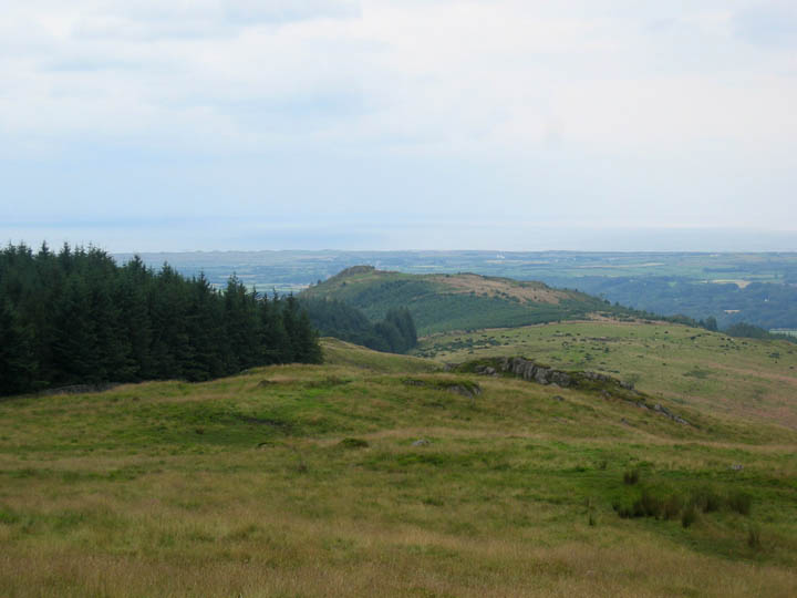
A clearing in the forest gave us our first sight of Muncaster Fell and the sea beyond.
The forest paths and tracks were a delight as we climbed steadily onto the ridge. Here John seems to adopting an unusual walking technique with his trekking pole !
Irton Fell and the Irish Sea looking towards the misty Isle of Man. We avoided climbing the Pike itself as John had said that the recent forestry clearance there had made the path very difficult. Our alternative route up from Porterthwaite had brought us out onto Irton Fell a mile further up the ridge.
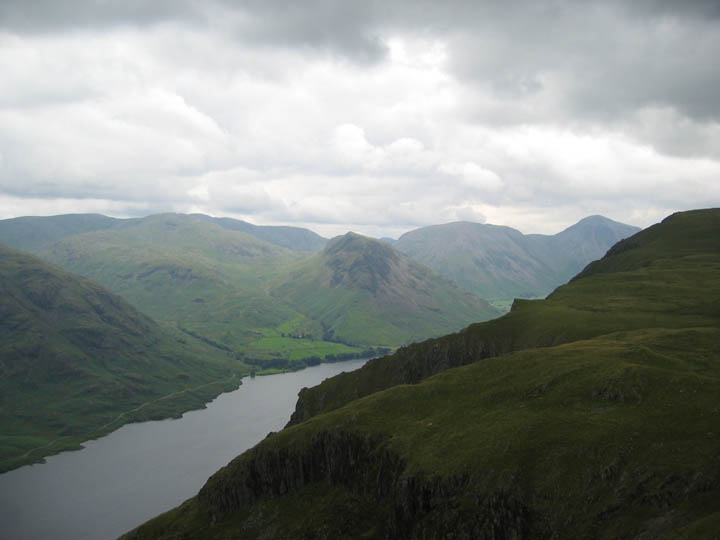
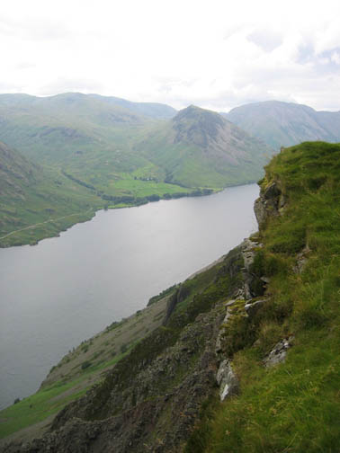
A gentle but steady climb up the open fell side now brought us up towards the summit of Whin Rigg. It allowed us our first views of Wast Water far below.
Although rather grey, the weather was not cold so light clothing was still the order of the day, even up here on the exposed fell above Great Hall Gill. Across the valley were the three lower Wasdale Fells of Buckbarrow, Seatallan and Middle Fell.
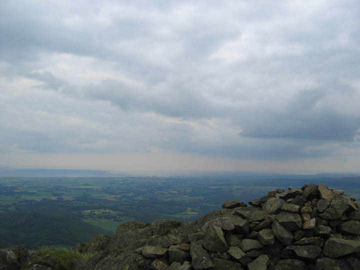
Whin Rigg summit, 1755 ft above the Irish Sea. On the coast, partially obscured by a passing rain shower, was the Sellafield Nuclear Reprocessing Plant.
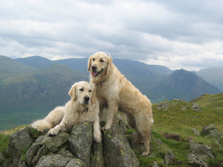
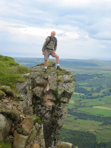
On the summit rocks, a couple of posers !
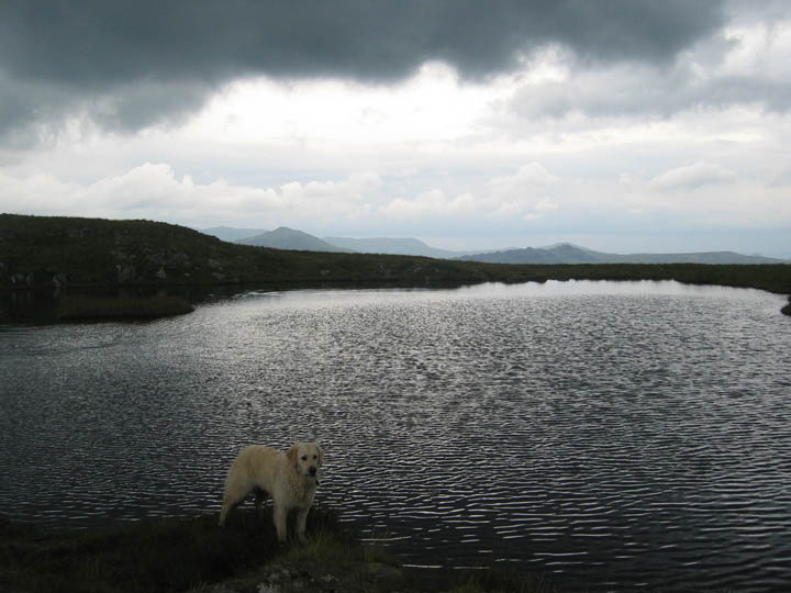
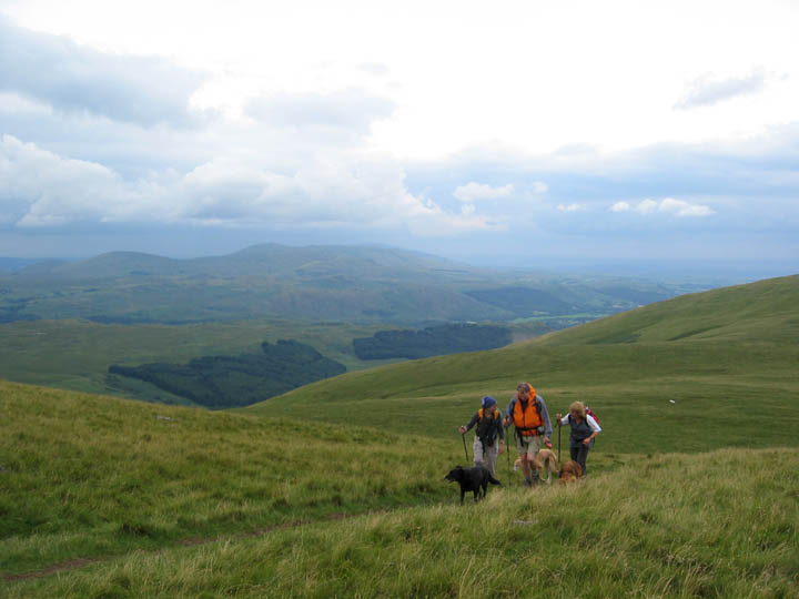
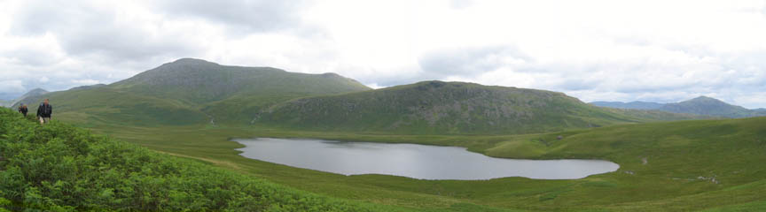
Walking along the ridge, Harry stops by the large un-named tarn. The triangular Harter Fell and Green Crag can be seen in the distance. The south easterly wind has formed large dark clouds over the Scafell peaks and their high tail extends above us always threatening to shower us with rain, but never actually doing so.
Looking back at the other tarn and the path as it drops down to the midpoint of the ridge to Illgill Head.
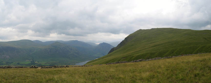
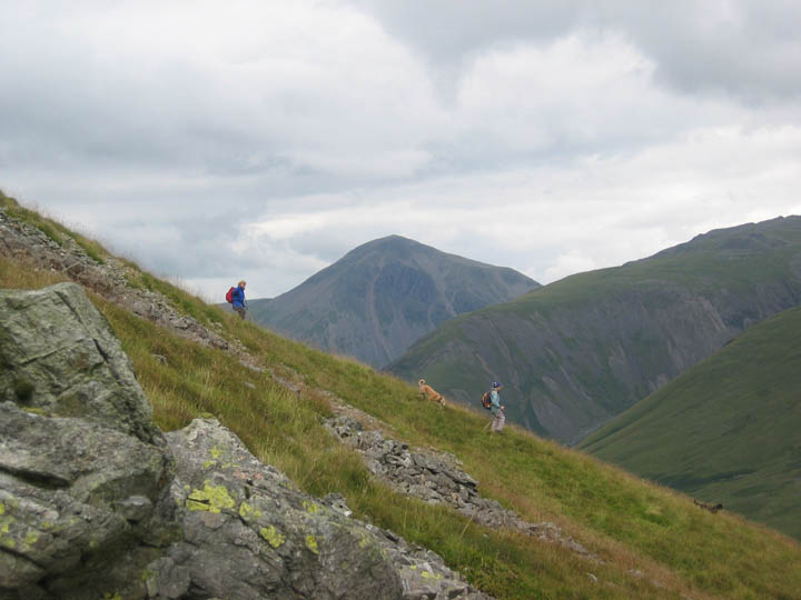
Looking ahead now with the high fells of Scoat Fell, Pillar, Kirk Fell and Great Gable in the background with Yewbarrow, the craggy fell, facing us end on. The pointed High Adam Crag is a notable feature on the edge of the ridge, and this would be our next target.
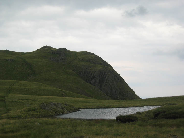
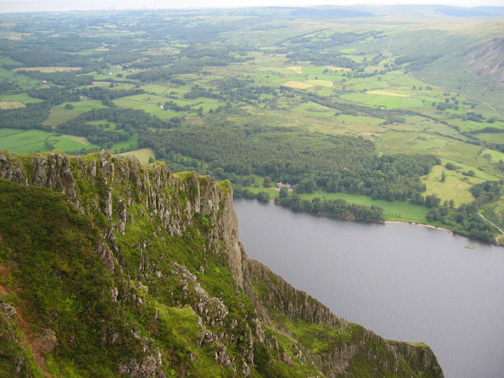
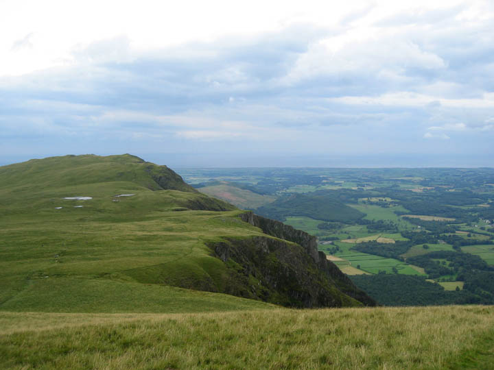
The south eastern slopes of Whin Rigg and Illgill Head are grassy moorland, but the north western facing slopes are over a thousand feet high crags that plunge into the lake below. This is Broken Rib Crag, one of the many aretes that form the spines of the Wasdale Screes.
Looking back again at the length of the ridge, with the two tarns part way along. The weather is clearer out to the coast.
Lingmell, Scafell Pike, Scafell and Slightside form the backdrop to this short panorama of our route ahead. Somewhere up there is the Illgill Head summit cairn and a shelter for a spot of lunch.
Could this be a first - a photo of John getting in between the conversations of Ann and Jo ?
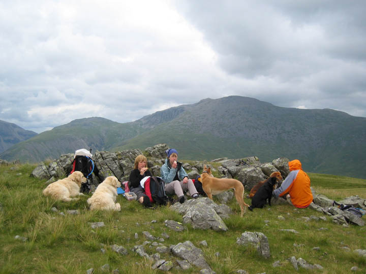
Oh well . . . back to the walk, or should I say, lunch. The easterly edge to the breeze meant the shelter was exposed, and the recent rain made it wet and muddy inside, so we opted for an adjacent rock to provide a delightful backrest for our lunch. The dogs seem even more attentive than usual for some reason. Maybe it's that open sandwich box next to my vacated seat.
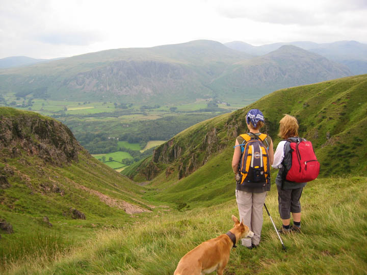
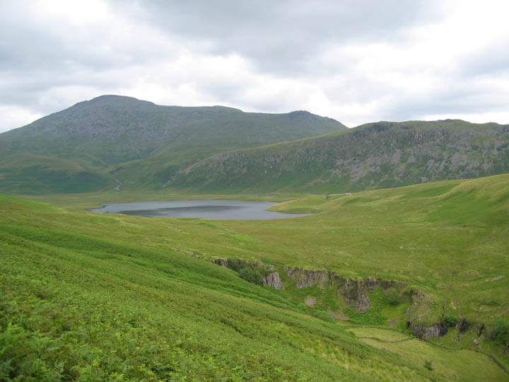
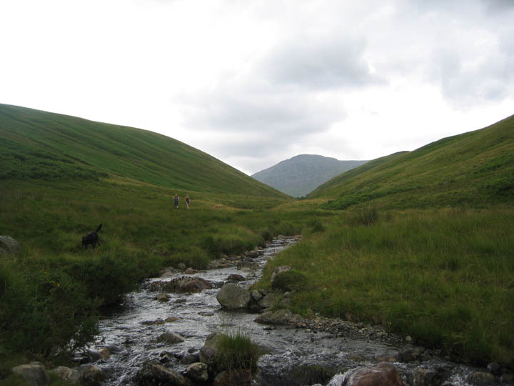
Afterwards our route took us down towards Burnmoor Tarn, finding our own route down rather than following any specific path. The Crag behind the tarn is known as Eskdale Fell. Must try and walk it sometime - it looks interesting.
Ann and Jo descending the fell side. The impressive summit of Great Gable behind.
Rather than descend all the way to the tarn, and then have to climb up to the coll at the head of Miterdale we found the bridle way that was sign posted earlier and followed it back along the hillside above the tarn.
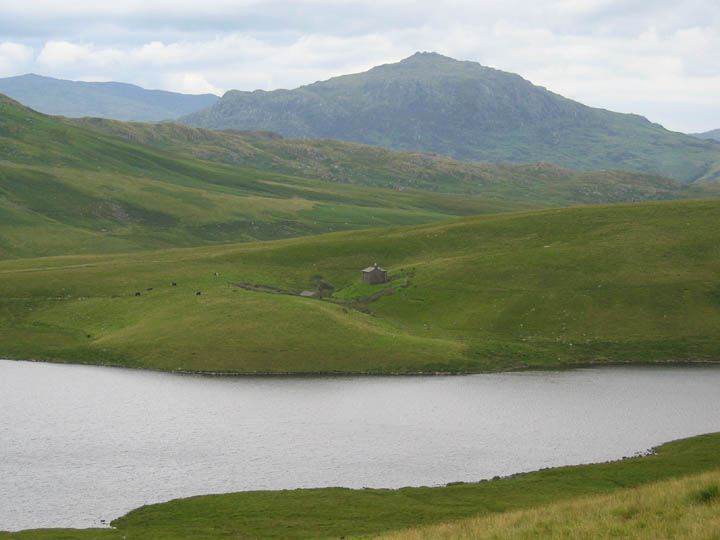
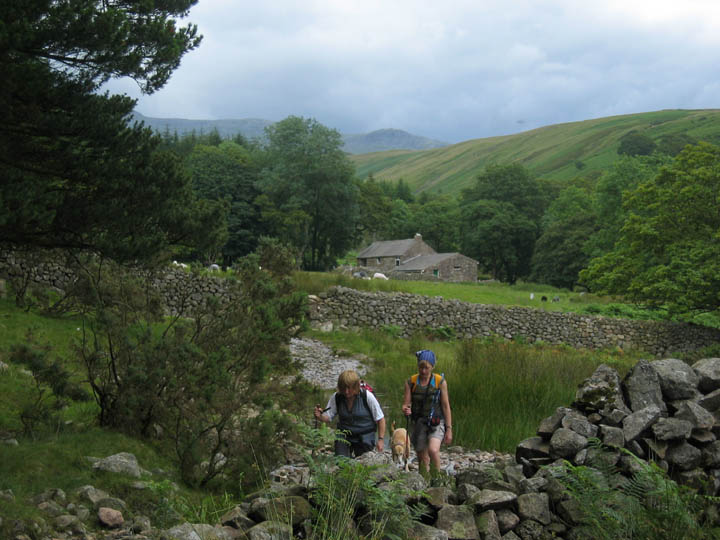
Below was Burnmoor Lodge, the isolated house on the banks of Burnmoor Tarn.
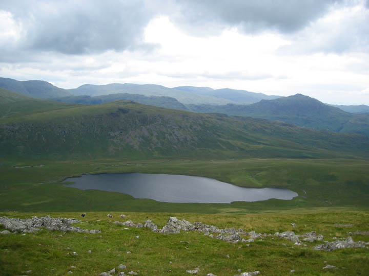
Burnmoor Tarn is always a little surprising as not only does the Hardrigg and Oliver Gills draining off Scafell not flow into it, the lake itself doesn't flow direct to the sea via Miterdale either. It prefers to take a more southerly route down into Eskdale thus powering the watermill in Boot on it's way through the village.
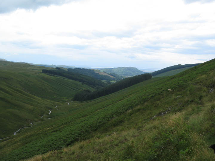
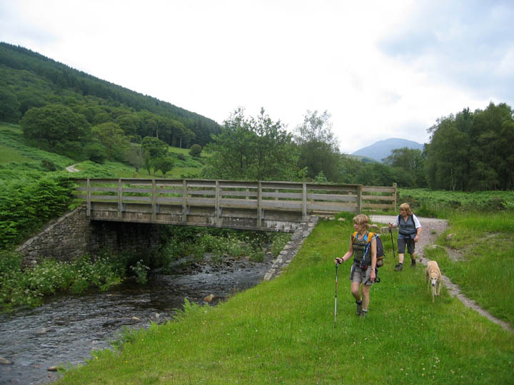
We passed above the small crags at the head of Miterdale Valley and traversed above the young River Mite. We would drop down into the valley alongside the trees and continue our journey by following the river.
Scafell dominated the head of the valley as we cross the beck by the woods.
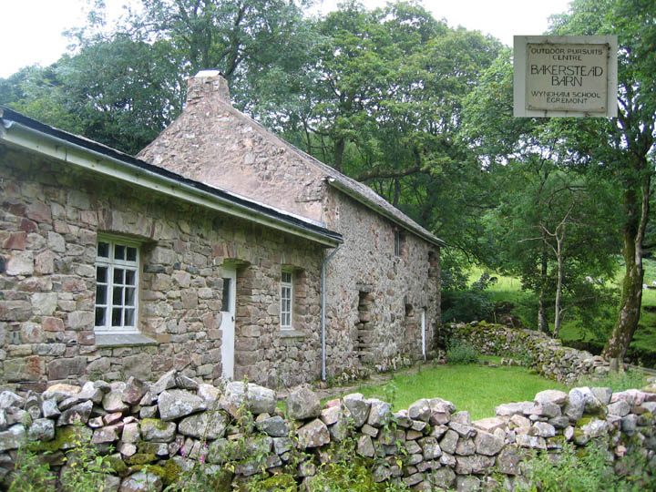
Bakerstead Barn . . . The old farm is in ruins, but an adjacent house has been preserved for use as an outdoor pursuits centre for the local Wyndham School in Egremont.
Leaving the isolated barn we now followed the rough track down the valley.
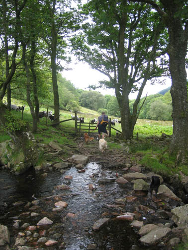
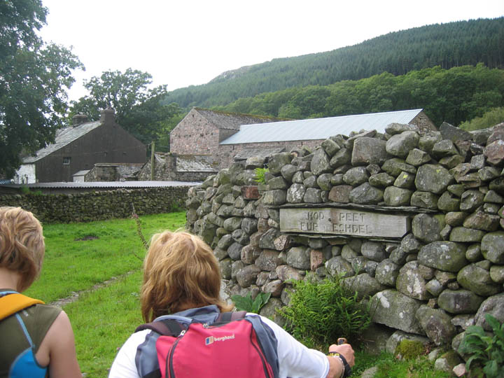
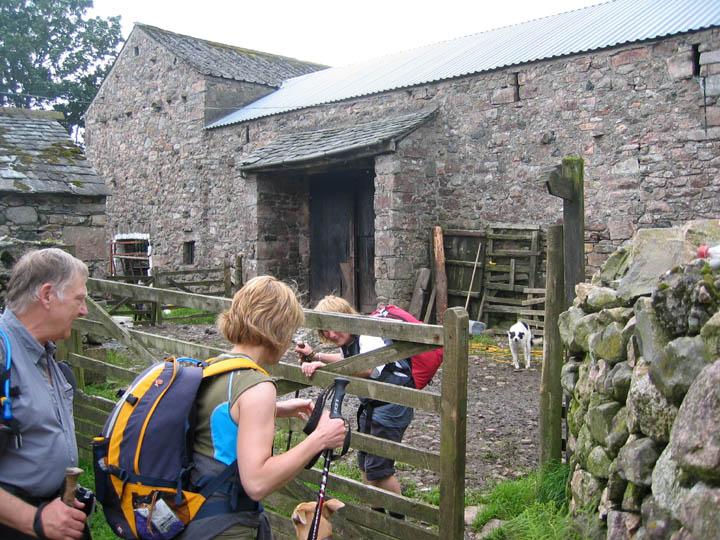
Ann is holding the gate open far enough for Jo and John to pass through, but not too far so as to let the many dogs escape the yard. The farm yard however, has not been modernised, and holds all the charms of a traditional working Cumbrian hill farm. Still . . . it will wash off at the next stream with a bit of luck !
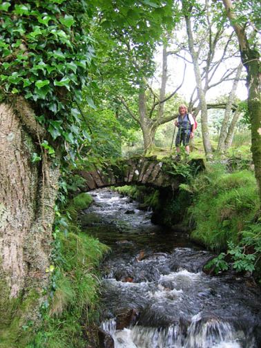
Suddenly the bridge was upon us and we had reached the cars again at the end of a delightful and dry weather walk. That makes three dry walks in a row - not bad for this record breaking wet summer. |
- - - o o o - - - Technical note: Pictures taken with a Canon Ixus Digital camera. Resized in Photoshop, and built up on a Dreamweaver web builder. This site best viewed with . . . the satisfaction of a beer or a pot of tea at the Bower House Inn at Eskdale Green afterwards. Previous walk - 18th July 2007 Ladyside on a sunny afternoon A previous time up here - 11th April 2005 Wasdale Screes, Burnmoor and the Boot Inn Next walk - 24th July 2007 The Torver Fells and Beacon Tarn
|