![]()

|
|
|
|
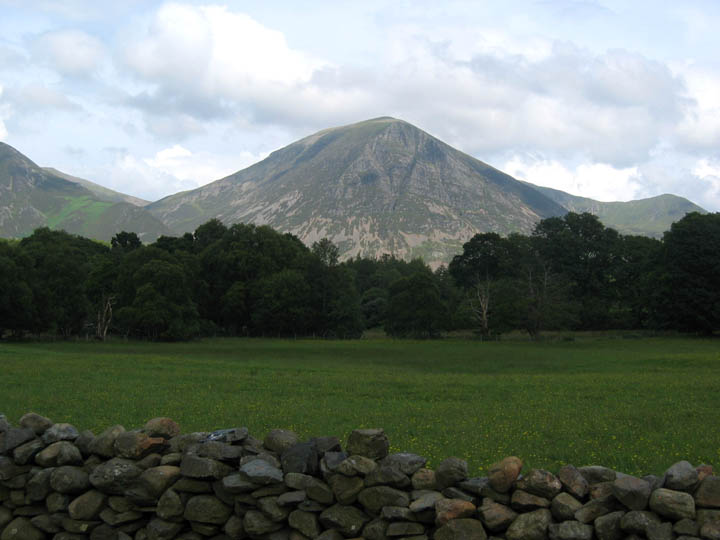
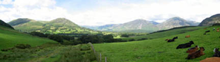
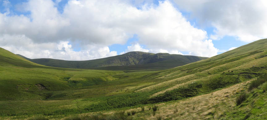
Date & Time: Tuesday 17th July 2007. 4 pm start. Location of Start : Maggie's Bridge car park, Loweswater, Cumbria, Uk. ( NY 134 210 ) Places visited : Maggie's Bridge, High Nook Farm, White Oak Beck, unnamed minor summit, down to Black Crag, and back via High Nook Farm to Maggie's Bridge. Walk details : 4 mls, 1200 ft of ascent , 3 hrs. Highest point : Cairn and Sheepfold below Gavel, 1575 ft ( 488m )Walked with : Ann and the dogs, Harry and Bethan. Weather : It's not often a walk this late ends up finer than it started - sunnier and warmer ! Grasmoor from the High Nook meadows |
|
|
Today's walk start close to home at Maggie's Bridge, at the end of the metalled road to Watergate Farm. Looking back as we crossed the meadow, we leave Darling Fell and Low Fell behind.
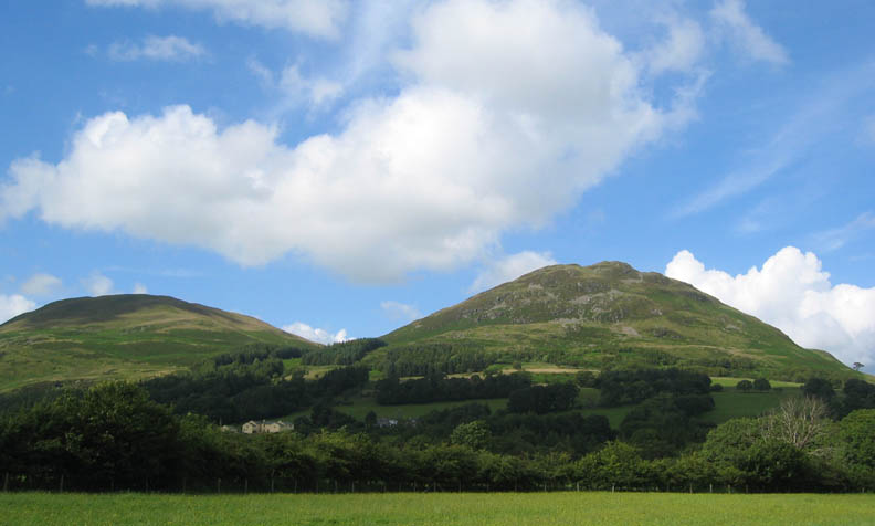
Climbing now, the sun is shining on the meadow and on the newly painted Thrushbank Farm complex opposite.
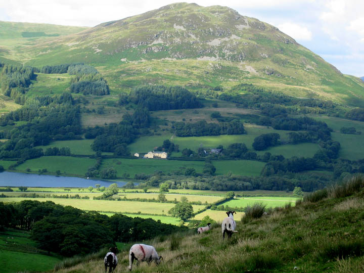
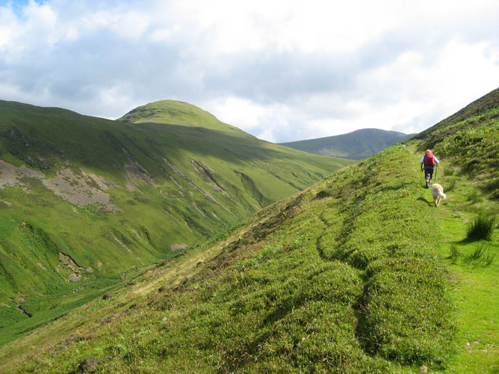
Rather than follow the valley, up past High Nook Tarn and towards Blake Fell, we turned left and followed the old track climbing across the base of Black Crag to the left.
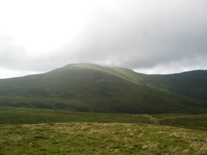
The track is a prominent feature of the White Oak Valley. Hen Comb is the fell on the other side.
Looking left across to Little Dodd, down the ridge from Hen Comb.
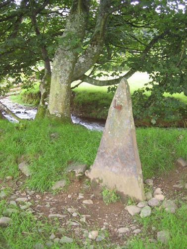
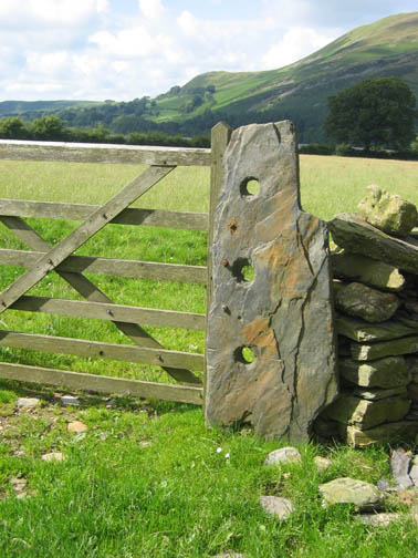
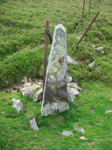
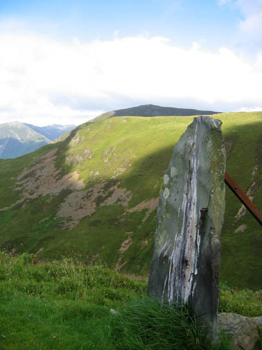
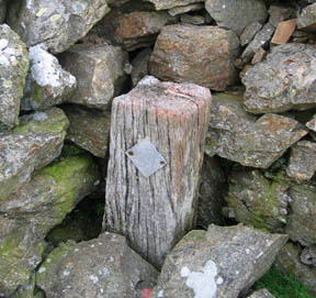
The number and style of old gateposts on this walk prompted me to catch four of them for this photo collection.
We walked the old bridle way until the valley started to level off. The track was steadily deteriorating anyway, but the damp ground conditions probably caused the wide track to end about quarter of a mile further on.
Rather than follow the valley up further, we changed course and headed up the fell side towards Gavel.
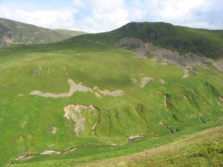
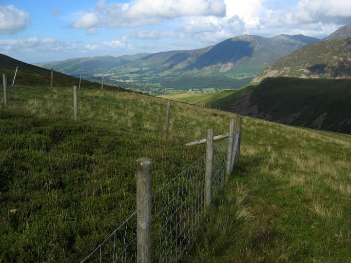
On the fence line half way up there was a twenty foot square enclosure which effectively kept the sheep out of this part of the fell side. What was interesting was the way the vegetation contrasted with the grazed fell outside the wire. The heather was a full foot higher and the Billberry plants had grown strongly. Would this be the effect on the fells if sheep grazing was reduced or even withdrawn ? The enclosure was probably a Ministry (or someone's college) project. I wonder if they have been back to see the results ?
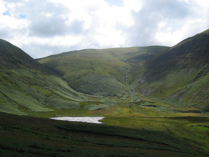
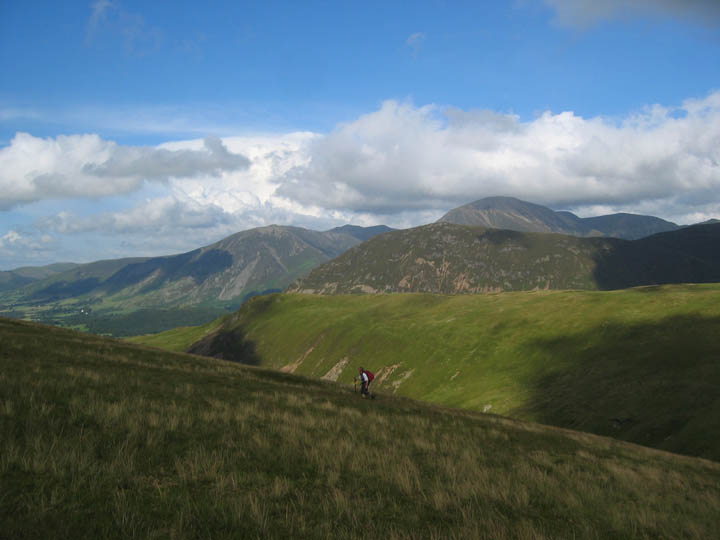
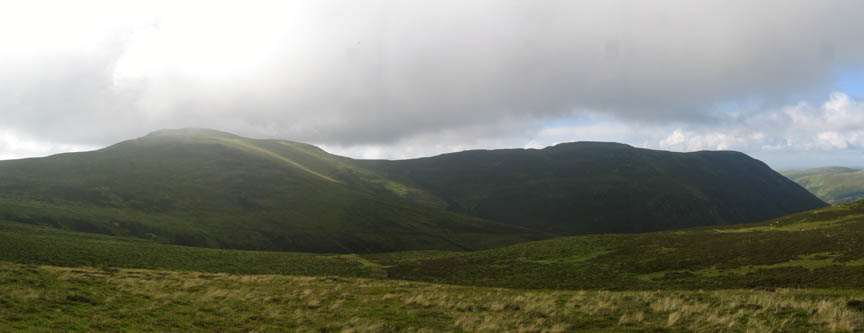
Great Borne and Floutern Cop (in shadow) in the middle distance.
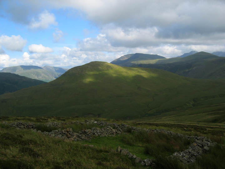
Just below the cairn on this part of the ridge is a ruin of a substantial old sheep fold.
A brief stop at this highest point of the walk. There was an increasing breeze up here and that cloud over Blake Fell was getting lower.
A long black shadow was being cast over Carling Knott so we decided not to walk the last half mile to Gavel, but instead turned to go down the ridge back towards Loweswater.
Good choice . . . out of the wind, into the sun and nice walking again. That cloud over Blake was very localised.
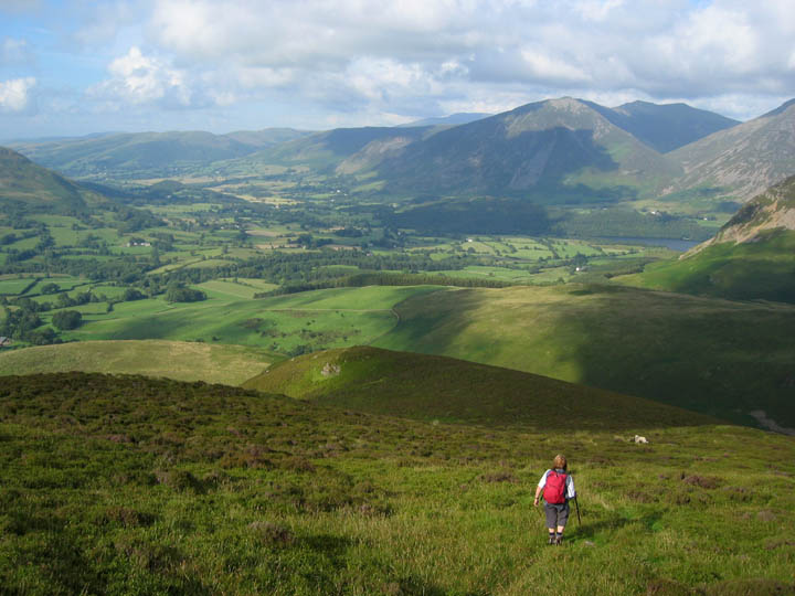
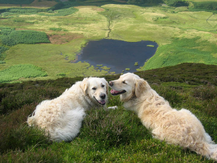
Two very localised dogs too - Harry and Bethan overlooking High Nook Tarn The small lake was some 450 feet below us, as we paused and looked over the edge of Black Crags.
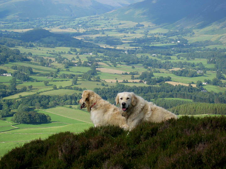
Loweswater Hamlet and Lorton Vale from Black Crag. All that remained now was to stop and pick a few of the first Bilberries of the year (small but very tasty) and make our way back down to the valley, passing through High Nook Farm on the way.
|
- - - o o o - - - Technical note: Pictures taken with a Canon Ixus Digital camera. Resized in Photoshop, and built up on a Dreamweaver web builder. This site best viewed with . . . an un-walked track to explore. © RmH.2007 # Email me here # Guest book (on the front page) Previous walk - 14th July 2007 Rannerdale Knotts with Jenna A previous time up here - 23rd January 2005 Bethan takes a first fellwalk on Blake Next walk - 18th July 2007 Ladyside on a sunny afternoon
|