![]()

|
|
|
| Date & Time: Wednesday 20th December 2006. 10.05 am start. Location of Start : Revelin Moss car park, Whinlatter, Cumbria Uk. ( NY 209 243 ) Places visited : A linear walk from Whinlatter, via Grisedale Pike, Hopegill Head, Whiteside and Gasgale Crags, Whin Ben, to Lanthwaite Green and the second car. Walk details : 4.4 mls, 2160 ft of ascent, (2610 ft of descent) 4 hrs 55 mins. Walked with : Ann and the dogs. Weather : Valley mist and rather grey at Loweswater, but the prospect of sun and clear air up on the fells. |
|
|
Today was one of those winter days that made up for the last five weeks of damp, miserable Autumnal weather. A fine sunrise struggling through the valley mist, and the prospect of clear fells and sunshine up high, found us packing lunch into the rucksacks and donning our boots for a linear walk on the North Western Fells.
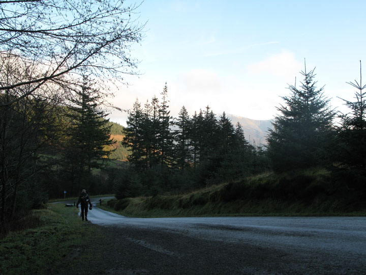
Frost on the forest track as we parked the car. We had left the valley gloom behind as we drove up Whinlatter Pass but the temperature was still around freezing here.
The Grisedale path is a short walk through the forest from Revelin Moss and before you know it you are out onto the fell and climbing fast. Ann concentrating on the path as the grass was covered in frost and very slippery if you weren't paying attention.
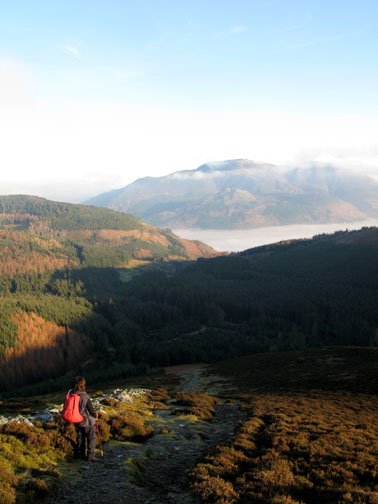
It was important to stop though and appreciate the view which was unfolding behind us.
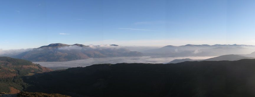
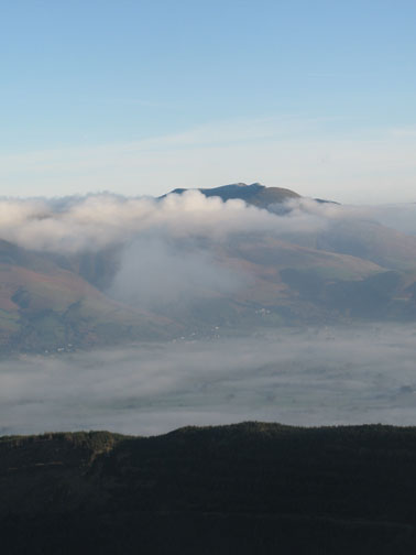
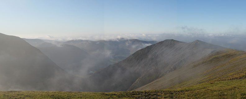
The whole of the Borrowdale / Keswick / Bassenthwaite Valley was holding onto the mist as the temperature inversion took effect. A wonderful sight ~ Click here or on the photo for a larger, annotated version
Clear blue skies and ridge upon ridge of familiar Lakeland Fells each with their own shade of colour. For the record they were Barrow and Outerside, Causey Pike, Rowling End, Catbells, Grange Fell , High Seat, High Tove, Helvellyn with the snow capped top. In this view we could see from Great Dodd on Helvellyn right round to Pike o' Stickle in Langdale.
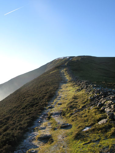
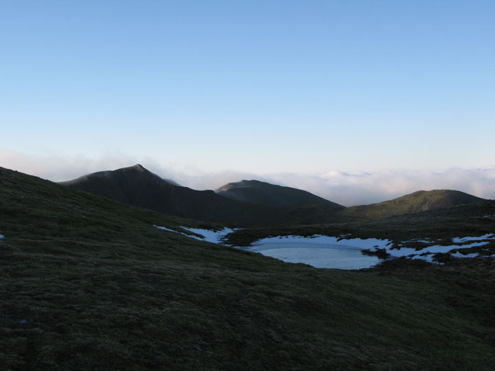
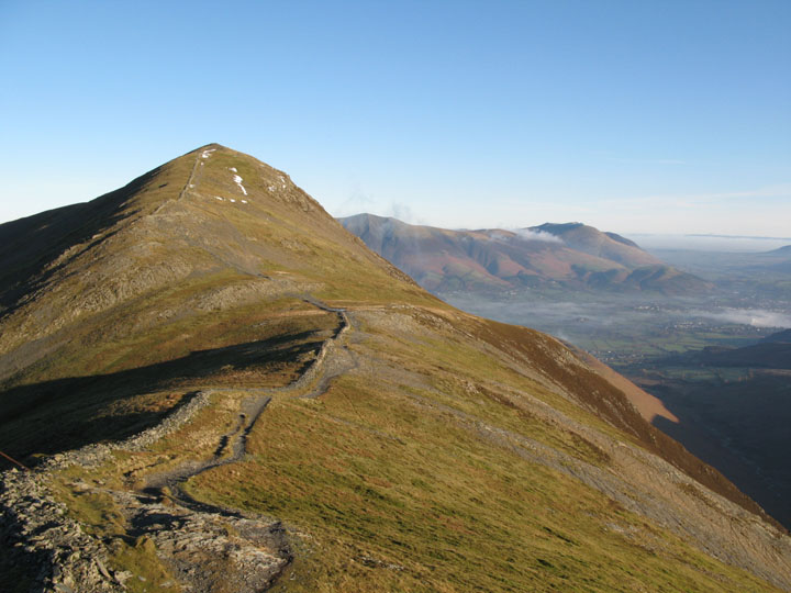
Almost there now as we pass the frozen pool on the ascent of Grisedale Pike. Hopegill Head and Whiteside are over there in the distance.
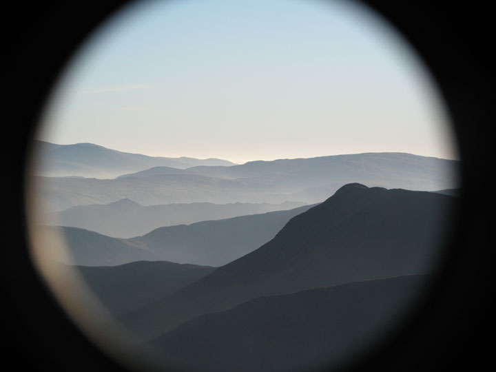
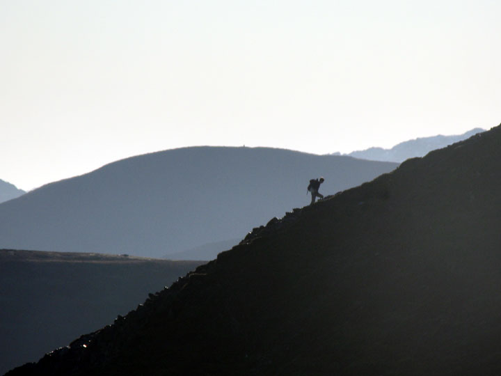
As you may have noticed, I had a new camera recently, and with it came a tele-converter lens. ( For those that are not so technically minded, this is a second lens on the outside of the existing zoom lens which effectively doubles the zoom.) It had this rather unexpected effect when I clipped it on to the camera for the first time, which caught me by surprise until I realised what was happening. Still ~ an almost artistic shot of the top of Causey Pike ~ worthy I hope of inclusion here.
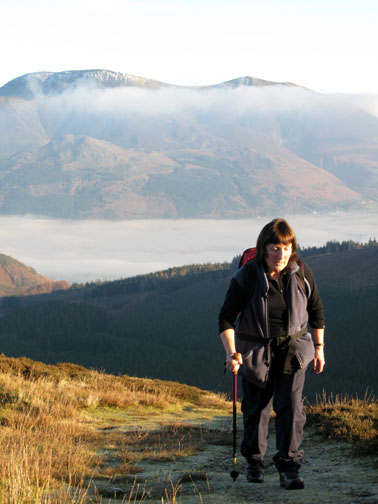
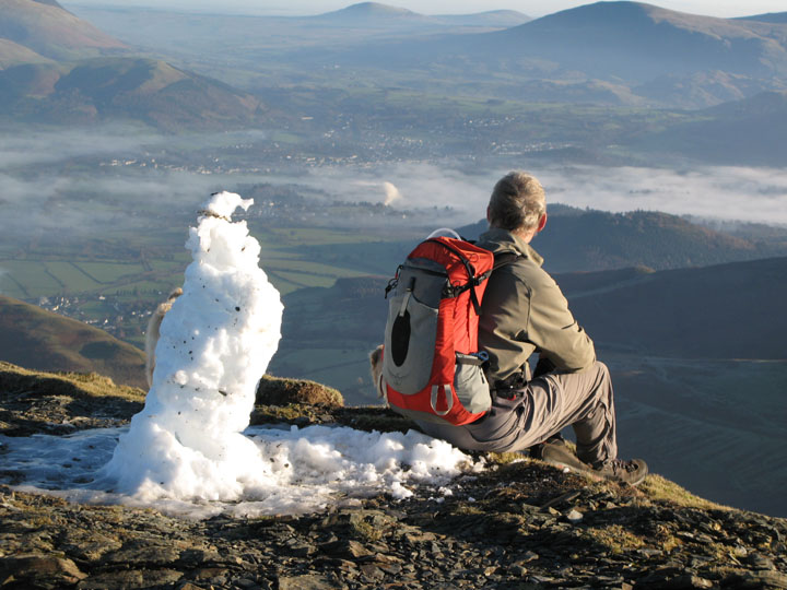
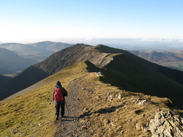
The reason I tried the new lens was to catch this fellow walker, climbing the adjacent ridge of Grisedale Pike.
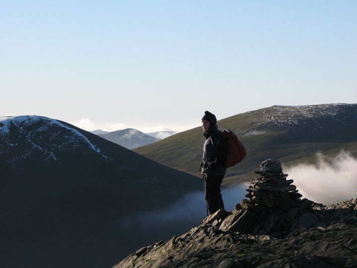
It was cool to say the least in the north westerly slight breeze that was crossing this unprotected summit.
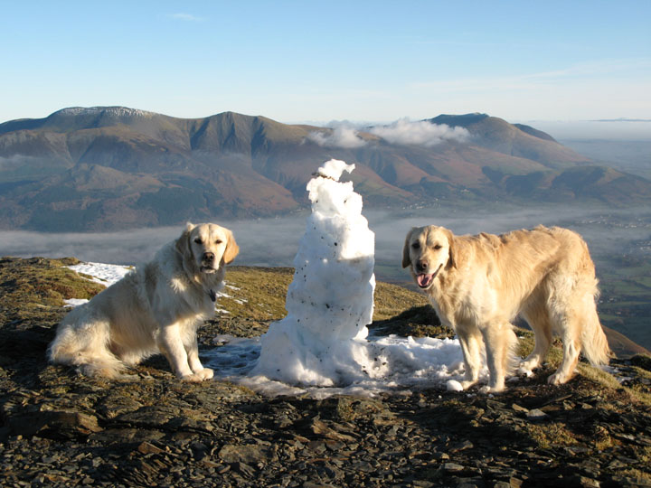
Someone had been here before us and built a snowman.
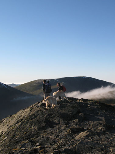
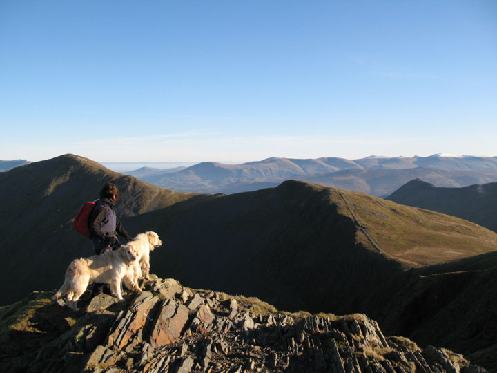
Harry and Bethan pose for a Calendar Shot !
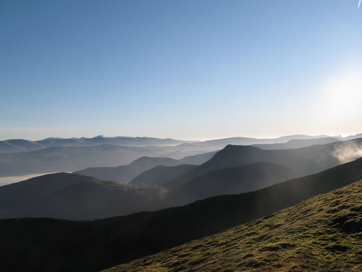
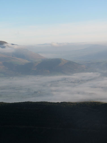
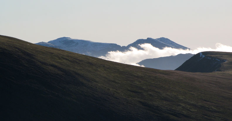
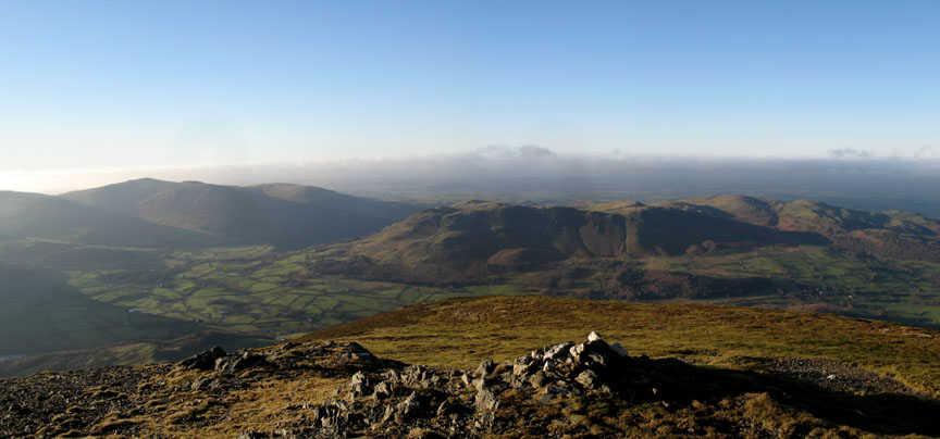
The inversion and mist was clearing from Keswick and Borrowdale but was still extensive over the coast to the north. This was the view from Grisedale Pike across to Ladyside Pike and beyond. Not so clear in the photo was the distant summit of the Scottish peak Criffel, standing no more than a hundred feet or so above the cloud of the Solway.
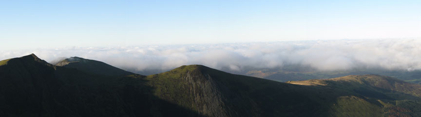
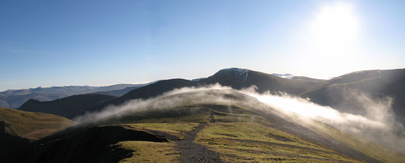
Cloud effects were what today was all about, and the breeze brought patches of mist across the fells as we set off for Hopegill Head.
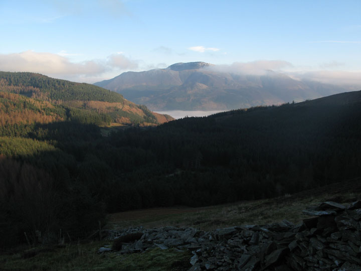
Looking back now at Grisedale Pike and distant Blencathra. The valley mist has almost gone.
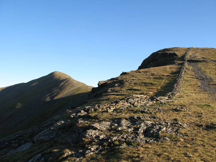
The afternoon sun gave beautiful colour and clarity to the stone wall as we crossed above Hobcarton Crags.
Clear tops again as we made the summit of Hopegill Head.
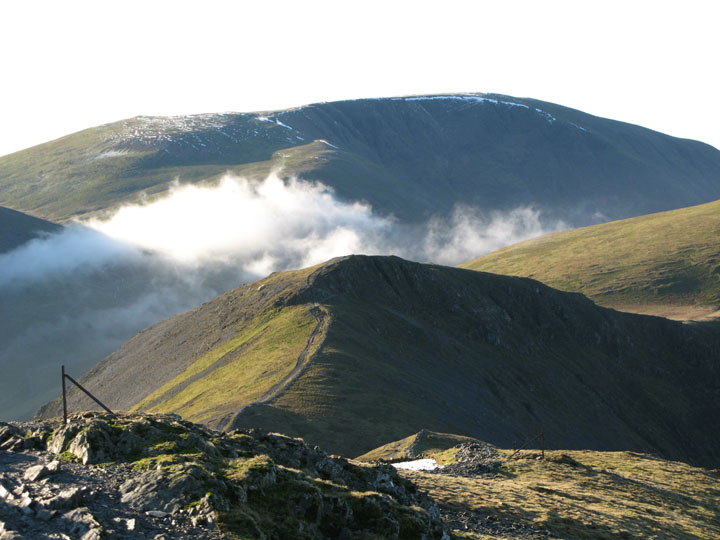
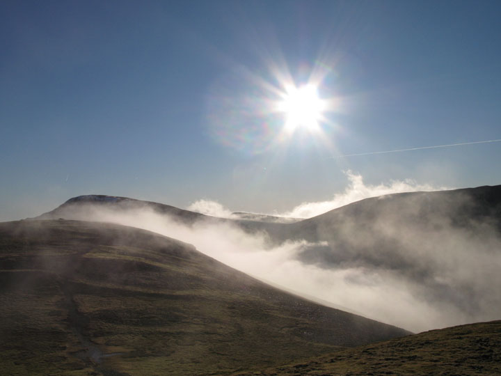
More swirls of cloud forming above Gasgale Gill and sweeping up towards Coledale Hause to our left.
Sand Hill, with that veil of sunlit mist.
A close up of Sand Hill, Eel Crags and the slopes of Grasmoor.
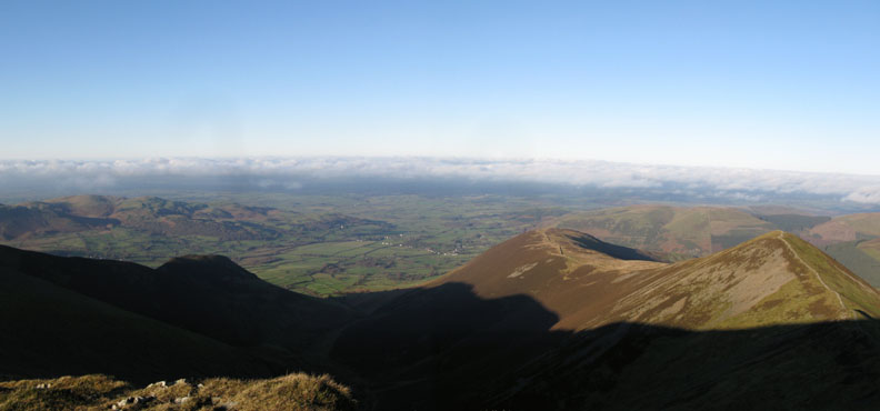
As we ate lunch on Hopegill we watched the cloud steadily drawing back from the north Cumbrian plain allowing Lorton Valley and Cockermouth some well deserved sunshine.
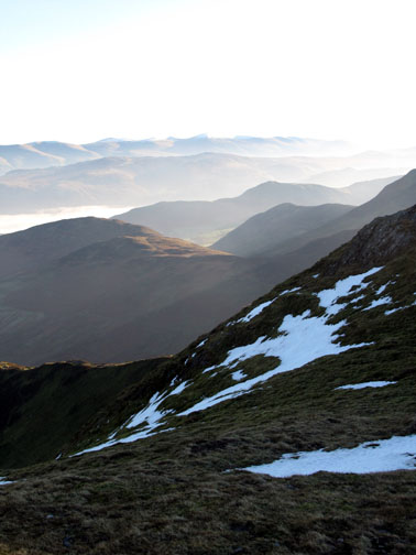
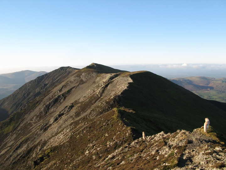
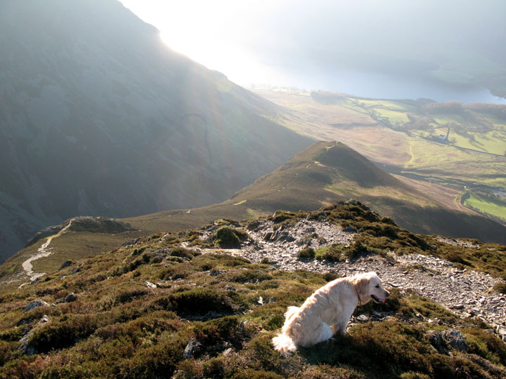
The home straight now, as we made our way along the Whiteside Ridge.
Distant views of Scafell Pike and Scafell from the ridge. There seems plenty of snow up there.
The dogs take the lead as usual along this final part of the route.
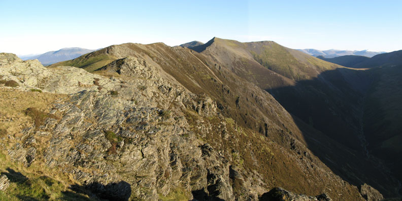
Looking back at Gasgale Crags from the western end of Whiteside.
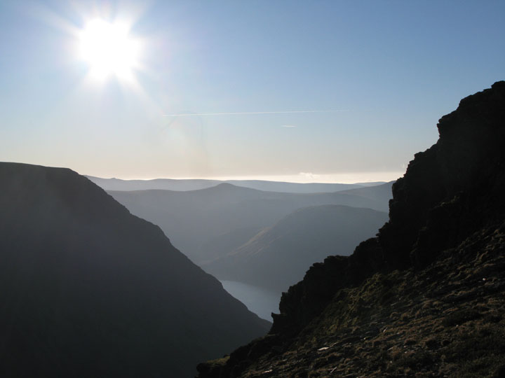
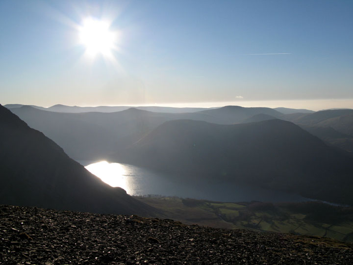
Our first view of Crummock Water and the shapely Starling Dodd.
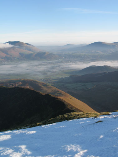
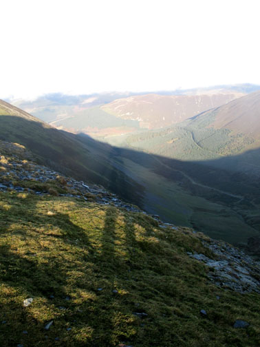
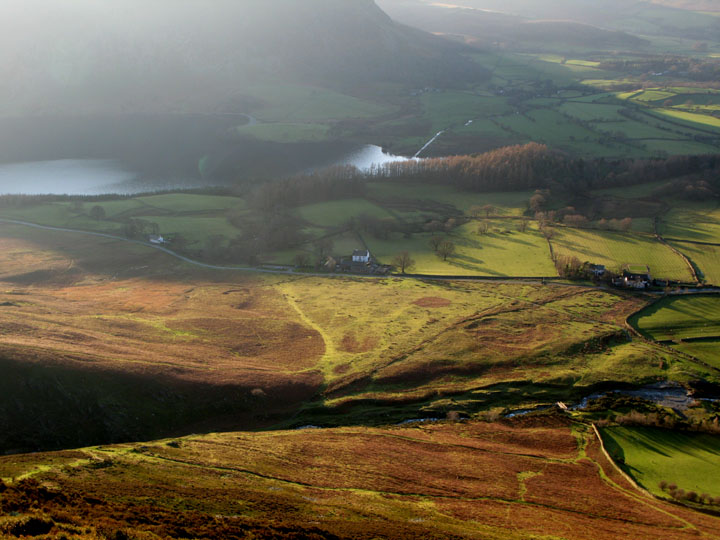
From the start of the descent of Whiteside, the whole of the Crummock Valley / Melbreak panorama is displayed below.
. . . as are the Loweswater Fells, Loweswater (in the shade) and the Low Fell / Fellbarrow group.
This is quite a steep and prolonged descent, broken only by the outlier of Whin Ben below.
and finally, an excellent walk draws to a close as we reach Lanthwaite Green and the car waiting below.
|
- - - o o o - - - Technical note: Pictures taken with a Canon IXUS 400 Digital camera. Resized in Photoshop, and built up on a Dreamweaver web builder. This site best viewed with . . . cool valley mist, high pressure and the prospect of good winter sunshine above. Go to Top # © RmH # Email me here # Go to 2006 Archive Previous walk - 17th December 2006 An Unplanned Climb of Carling Knott Previous time up here - 26th July 2003 Whiteside with Peter and Mary
|