![]()

|
|
|
| Date & Time: Tuesday 1st August 2006. 1.30 pm start. Location of Start : Honister Slate Mines, Cumbria, Uk. ( NY 225 135 ) Places visited : Honister, Moses Trod, Beck Head, Kirk Fell, Beck Head and return. Walk details : 7.6 mls, 2750 ft of ascent , 6 hrs. Walked with : Jo Hall and her dogs Megan and Jodie, John P and Polly, Ann, Harry and Bethan. Weather : Heavy overcast cloud which came down to meet us, and proceeded to make us rather wet. Perhaps we'll sit the first rain shower out here ! |
|
|
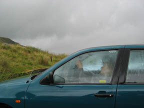
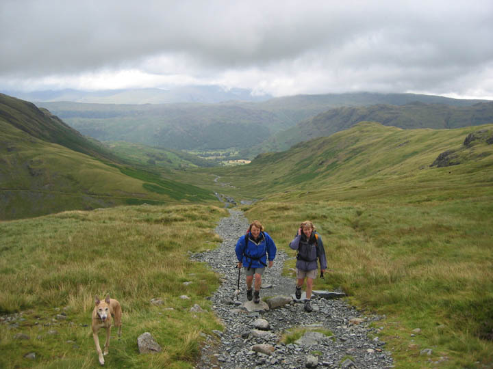
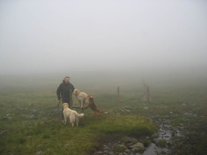
Can't sit is the car all day. Time to get kitted up and go. It's a warm day and shorts seemed quite suitable, but the waterproofs were there to keep off the last of that rain shower.
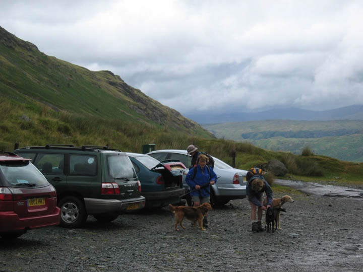
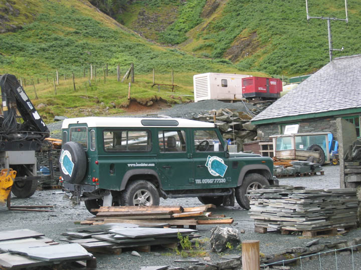
( A Land Rover spotters picture for Peter B ) We parked at the National Trust car park and passed through the grounds of the Honister Mine.
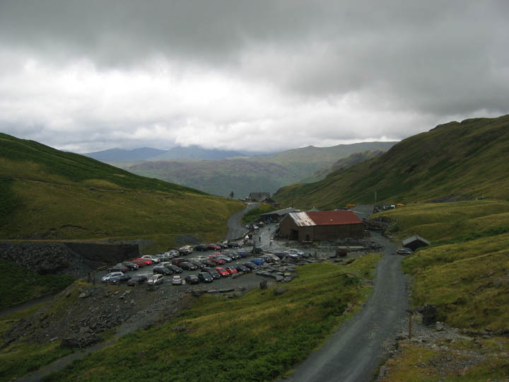
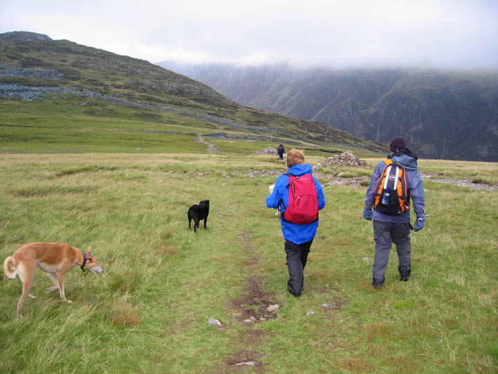
A busy day for visitors to the Mine, and it's shop no doubt, but there were few people climbing the fells today.
Clearer weather as we climb the Dram Road . . .
. . . but poor weather ahead. Our planned destination is hidden under cloud. Even though you can't see Kirk Fell John, you've got to turn left here !
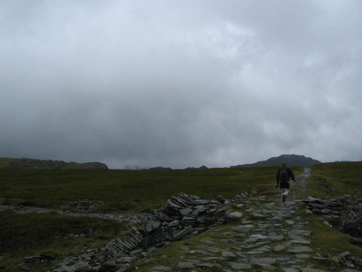
We are climbing the first part of Moses Trod as the weather closes in again. The six people we saw here were the last folk we passed all day.
When we arrived at the Brandreth Fence the path had already split into three, one left and up to Brandreth, one ahead and along Moses Trod path, and the third turns right and heads down towards Haystacks and Ennerdale. The top path is the most obvious but was not the one we wanted so we crossed the fence and cut down across the rough ground till we found the path we required.
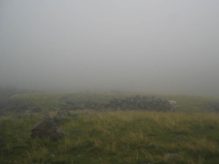
After our later start we were looking for a lunch spot. Along the Trod somewhere was a small walled shelter that would offer slight protection from the weather. That apparent jumble of stones was what we were searching for.
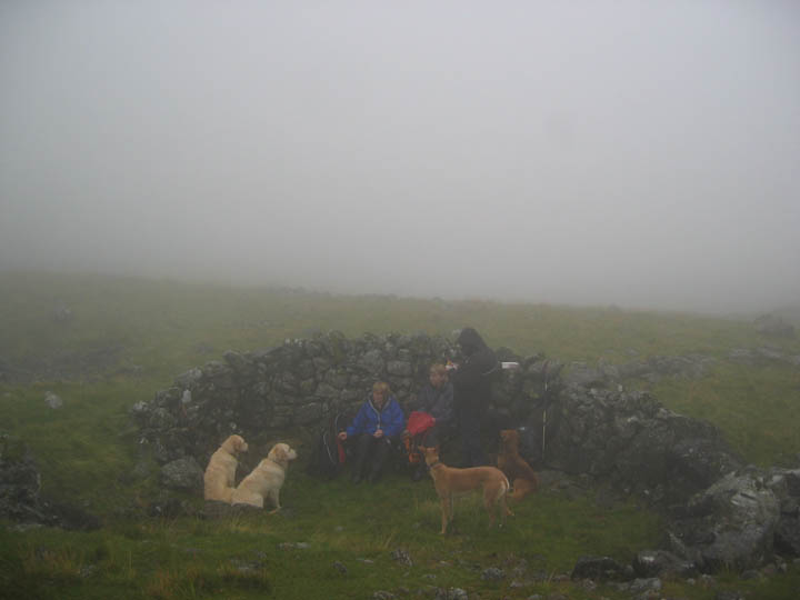
Lunch in the shelter, with a photo taken after the second major rain shower of the day.
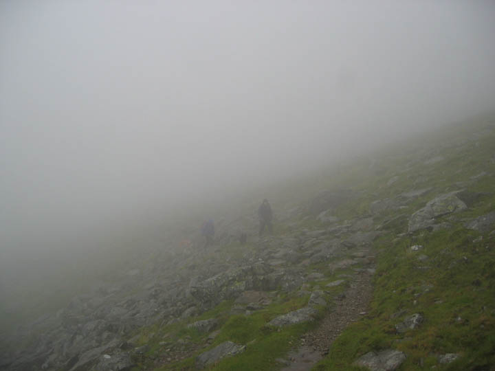
With a good path to follow and everyone enjoying the walk we continued on. This was Moses Trod below Gable Crags.
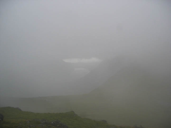
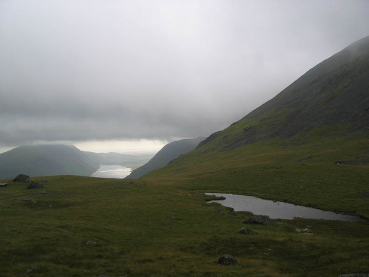
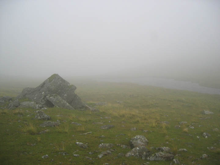
Beck Head appeared out of the mist. Here was a brief view down Wasdale Valley at last.
Suddenly the mist cleared . . .
. . . and we had views of Gable too. Click here or on the photo for a damp video at Beck Head ( The video should open and play in your Windows Media Player. It may take a minute or so to download on slower connection speeds - please be patient )
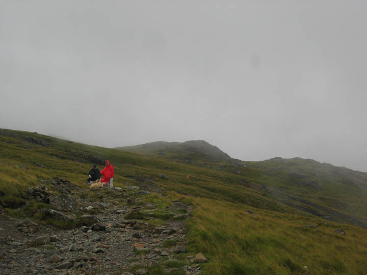
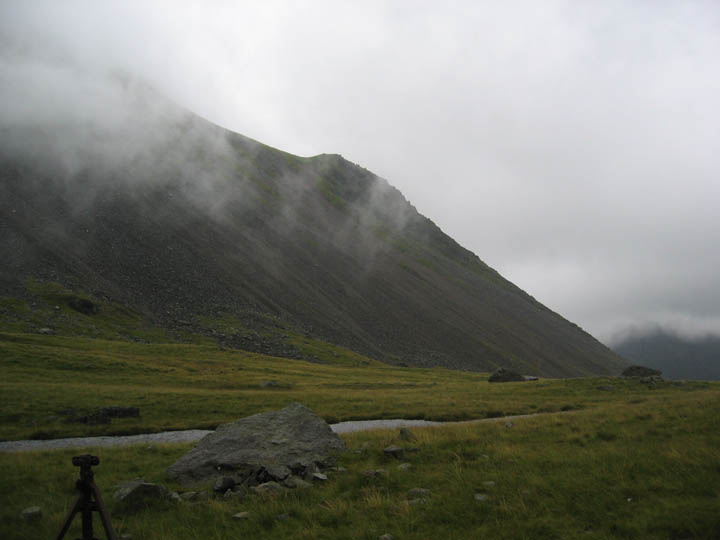
The rain had stopped but the mist returned as we climbed. This is the first (and lower) summit on the eastern half of Kirk Fell.
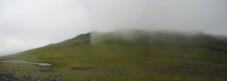
Poor weather and fast moving clouds confused the camera in this three shot panorama of Kirk Fell Tarn and the route ahead. Navigation wasn't too difficult however, as we followed the boundary fence across the fell.
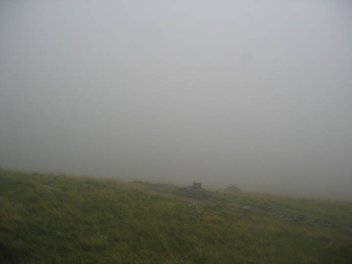
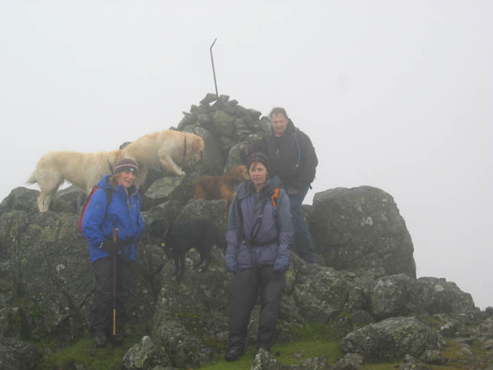
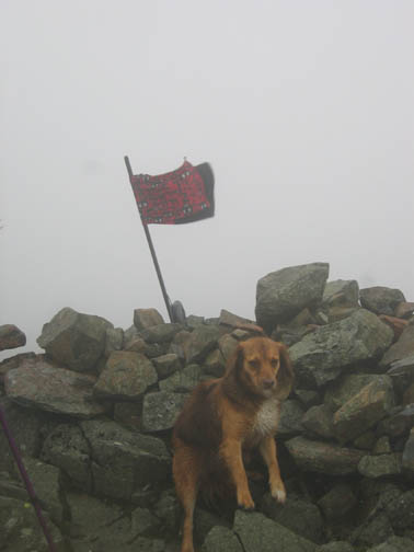
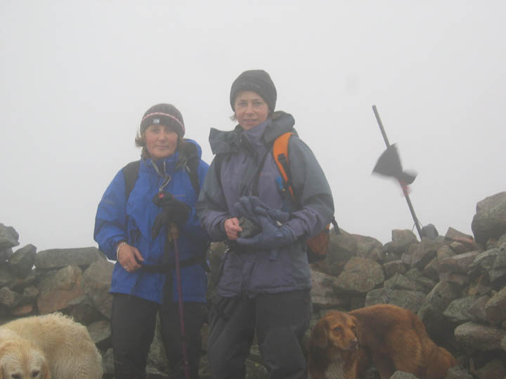
Ann and Jo in the shelter ~ we made it too ! . In the reduced visibility, all we could see was a few fence posts and the odd rock outcrop. We chatted in the lee of the summit shelter and indulged in a humorous discussion about mistaking the route back. The joke was on us however, as we set off to retrace out route, only to take the wrong fence line !
A few minutes later we were looking down on Black Sail Pass instead of Beck Head, but a slight traverse brought us safely back to Kirk Fell Tarn which kindly appeared on cue at the appropriate time and place.
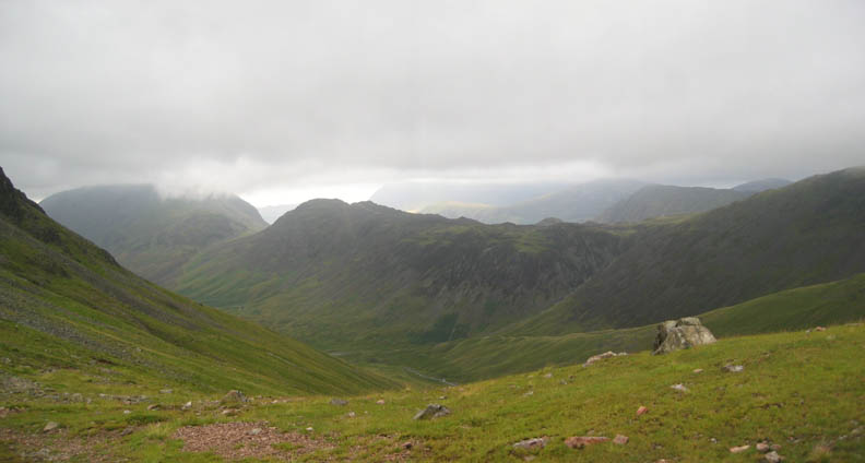
Back to Beck Head and the weather had cleared again to give us reasonable views down into Ennerdale. The High Stile Ridge has a cloud top, Haystacks is clear, and Rannerdale Knotts might even be having some sunshine ? Funny thing weather !
Brandreth Fence again as we make our way back. Having returned all the way along Moses Trod,we now know of the correct fence crossing for the path ~ the newer, single step wooden stile.
Drying out now in the warm-ish breeze but time was getting on. This 7pm picture looked brighter than it was due to a little boost of photo-flash.
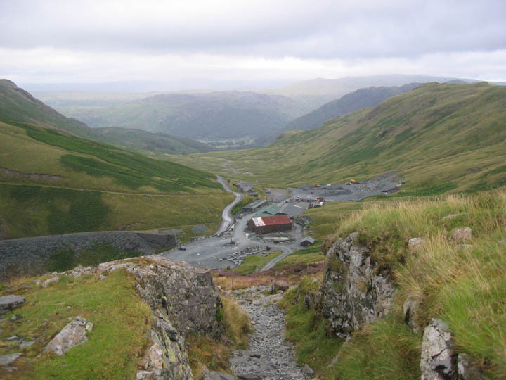
Back to Honister after a fine, if rather damp walk.
|
- - - o o o - - - Technical note: Pictures taken with a Canon IXUS 400 Digital camera. Resized in Photoshop, and built up on a Dreamweaver web builder. This site best viewed with . . . waterproof paper for my Anquet Map printout. Go to Top # © RmH # Email me here # Go to 2006 Archive Previous walk - 30th July 2006 High above Hartsop and the Priest's Cave A previous time up here - 9th November 2003 Gable Remembrance Day 2003
|