![]()

|
|
|
| Date & Time: 28th June 2006. 6.55 pm start after our earlier walk. Location of Start : Roadside behind the Swan Hotel, Grasmere, Uk. ( NY 341 084 ) Places visited : Stone Arthur, a direct ascent and back. Walk details : 2 mls, 1,400 ft of ascent , 1 hrs 45 mins. Walked with : Ann and the dogs. Weather : Overcast, warm and humid. |
|
|
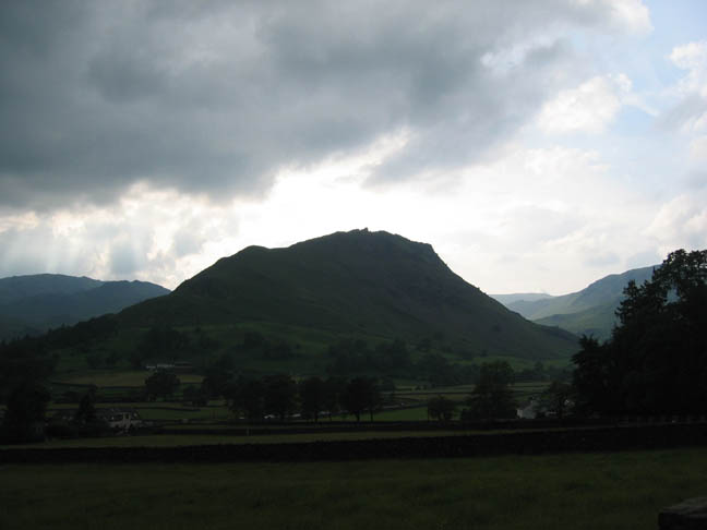
Helm Crag as seen from the start of our walk. A brief snack and we were off again on a second short walk in the Grasmere area - Stone Arthur from Grasmere village.
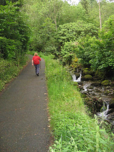
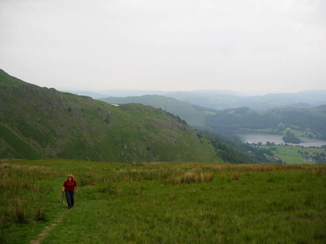
The path up follows the wall across the hillside. A few weeks later and the bracken will be much more of a problem. Even now it is encroaching on the path. The stream opposite flows down from Alcock Tarn on the fell side opposite.
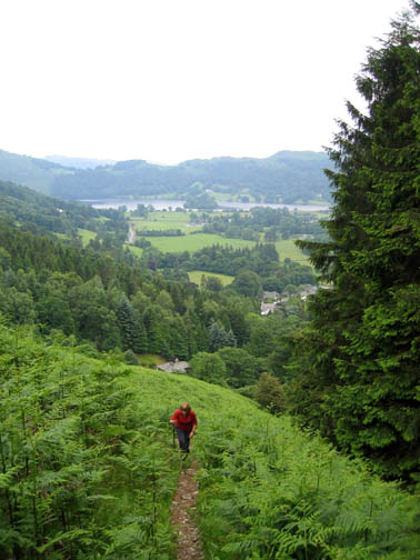
Climbing up we leave the bracken and have more pleasant walking on the rough grass path. Alcock Tarn can now be seen as we gain height.
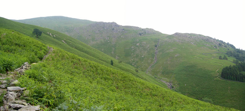
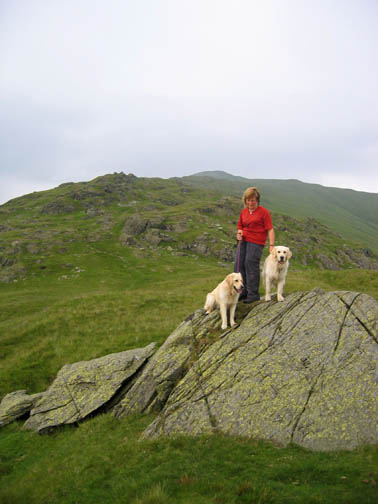
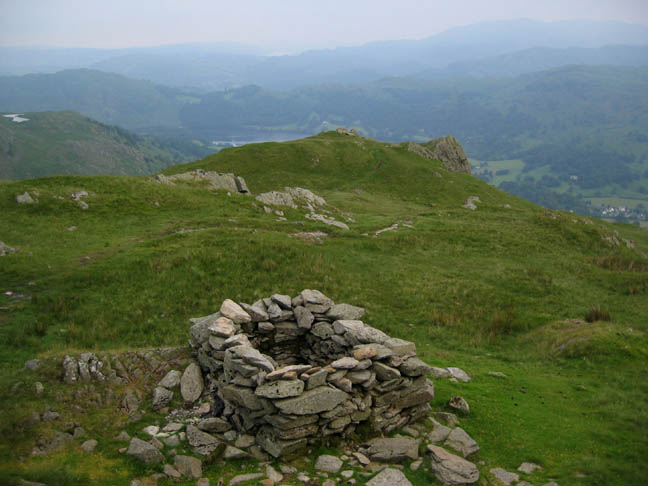
This summit is rather unusual in terms of the normal Lake District tops. From below, the rocks form a dramatic skyline but on arriving at the "top" you find it is no more than the end of a ridge which rises up eventually to Great Rigg on the Fairfield Round. It has no summit cairn but does have a rather good view of Grasmere on a nice day.
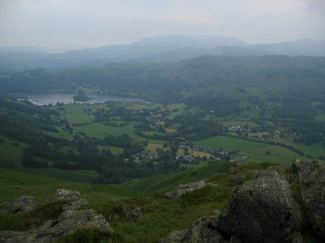
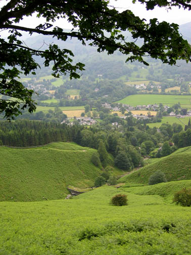
Grasmere and the distant hazy fells. The pink evening sky (in the previous picture) was unable to penertrate over Dunmail Rise to brighten the scene in the valley below.
The map does show a Cairn but this appears to be a little further up the hillside from the summit, but what was the purpose of this unusual stone construction ? ( It is no more than five feet square and two feet high by the way.)
|
- - - o o o - - - Technical note: Pictures taken with a Canon IXUS 400 Digital camera. Resized in Photoshop, and built up on a Dreamweaver web builder. This site best viewed with . . . a long summer evening in prospect. Go to Top # © RmH # Email me here # Go to 2006 Archive Previous walk - 28th June 2006 Loughrigg using an unusual route Previous time in the area - 8th June 2006 The Fairfield Round on a hot summer's day
|