
|
|
|
|
Date & Time: 30th January 2006 - 2pm start. Location : Dunmail Raise, above Grasmere, Cumbria, Uk. Occasion : A walk up Seat Sandal with Ann and the dogs. Walk details : 3.3 miles, 1700 feet of ascent. 3 1/4 hrs. including a coffee stop on the summit. Weather : A fine start to the day but turning grey and misty in the Loweswater valley. The forecast was for the mist to rise and disperse. Possibility of good visibility at altitude. |
|
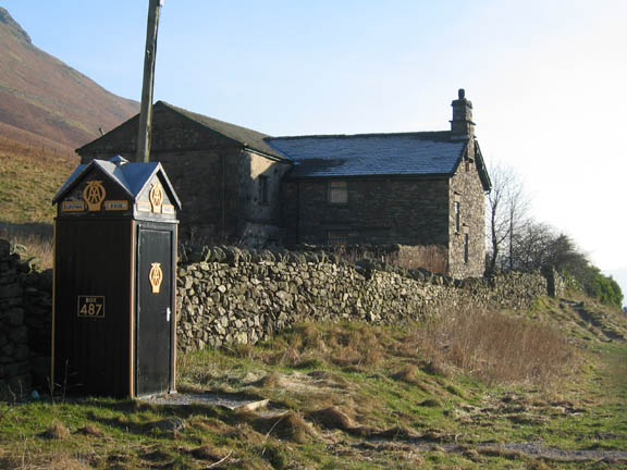
The most convenient place to park for Dunmail Rise and the Raise Beck path is the lay-by, a few hundred yards south of the summit of the road, next to the old AA phone box. This is a reminder of the old days before reliable cars and mobile phones. The box was sited to help stranded motorists summon assistance and provided a phone link where one was not previously available. It is the box, not the building behind, that has a "Grade 2" listed buildings preservation order on it. Good to see and three bonus "I Spy" points to start the walk !
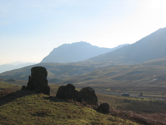
A second bonus, Helm Crag with the Howitzer on top, from the stones at the start of the climb. The misty day in the valley bottoms had turned to a hazy day here.
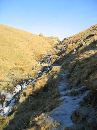
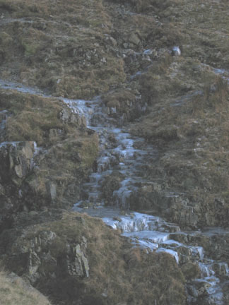
This is where we diverted onto the grass at the side of the path, but it was tricky to say the least, as the damp moorland grass hid black ice where the water drained towards the beck.
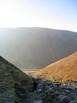
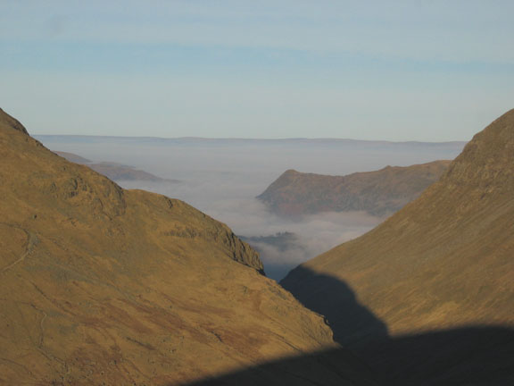
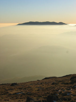
Climbing free of the beck we get the first real indication of the clear high fells and the cloud below. Steel Fell, with (l to r) High Raise, Greenup Edge and Ullscarf in the distance.
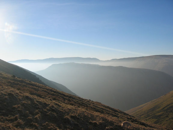
Higher again and our first view of the north western fells and Skiddaw. First confirmation too that the haze inversion extended beyond the immediate valley area.
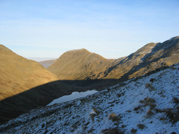
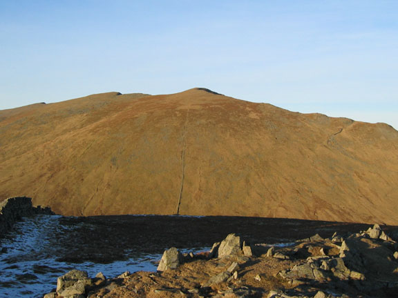
Grisedale Tarn, partially ice covered, nestles below St Sunday Crag. The dark shadow is of Seat Sandal - the top of which was our target for today.
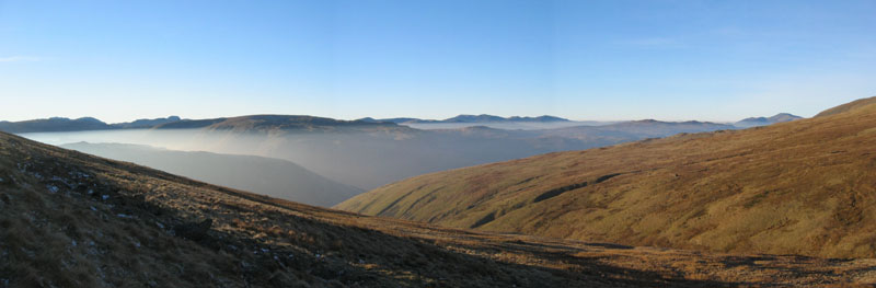
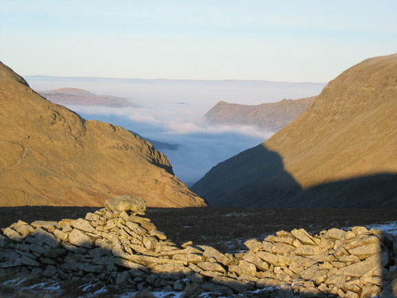
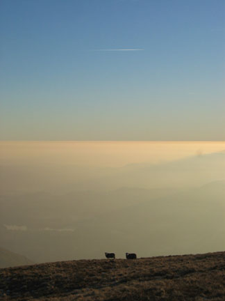
The inversion obviously extended the other side of the Lakes. Below are the trees of Keldas (above Glenridding) with Place Fell behind. Down there in the cloud is Ullswater and in the distance the cloud extends across all the way to the high hills of the Pennines.
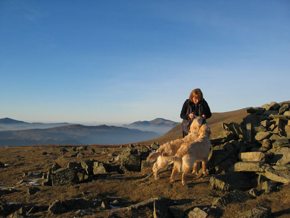
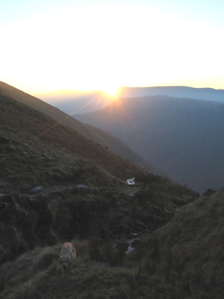
The top at last. Now can we have those biscuits ?
Dollywagon Pike, Nethermost Pike and Helvellyn stand clear in the brilliant afternoon sun. Click here or on the photo for the full 360 degree panorama from Seat Sandal summit.
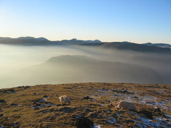
The western fells from the lower cairn on Seat Sandal. The high peaks in the distance are the Scafells, Gable and High Stile, Grasmoor, with Sail and Eel Crags on the left.
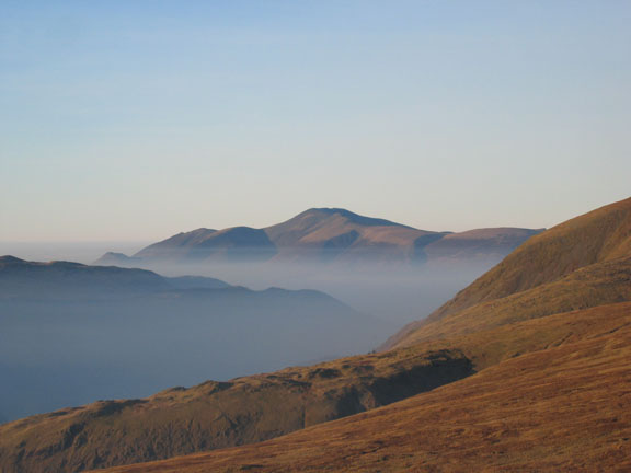
Skiddaw in the afternoon sunshine. The inversion again had a slightly layered appearance with a haze level slightly above the low cloud.
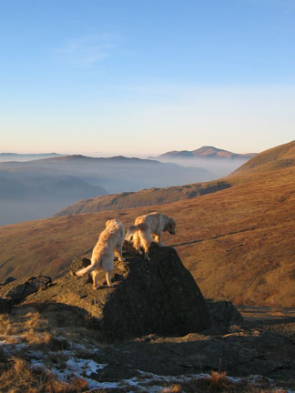
Kings of the Castle.
On the way back down we crossed to the right hand side of the stream which had been in the sun during the day. The ground was steeper and harder going without the path, but it was dry and soft, and the grass gave a safer way down while we by-passed the iced sections.
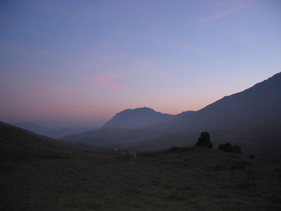
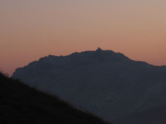
Safely down to valley level and a picture of Helm Crag with more than a hint of red in the sky. In the foreground are the rocks we passed on the way up from the car (see top picture).
Helm Crag at the end of the walk. The "Howitzer" summit rock on the summit and the lion's head part of the "Lion and the Lamb" to the left.
|
Go to Top - Go back to Latest - Go to Home Page Technical note: Pictures taken with a Canon IXUS 400 Digital camera. Resized in Photoshop, and built up on a Dreamweaver web builder. This site best viewed with . . . that fine tasting summit coffee ! Go to Top # © RmH # Email me here # Go to 2006 Archive
|