Retreat to the quiet of the Western Lakes
|
Date : Saturday 2nd July, in the year MMV (2005) Location : A walk from Patterdale up to High Street and Thornthwaite Crag, returning to Hartsop Village. Occasion : A support walk to greet the Roman Way walkers on High Street, Cumbria. Uk. Walk details : 9 miles, 3300 ft of ascent 7.5 hours Weather : Cloudy and grey, occasional rain showers with intermittent low cloud from Boredale Hause onward. |
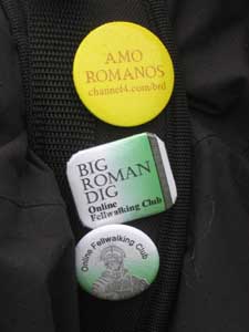 |
The Online Fellwalking Club organised a Roman Walk to coincide with the Channel 4 Time Team Roman Week.
During Roman times a series of roads crossed the high fells in order to conquer and rule the region, and to benefit from its natural resources and seaports. One of the famous roads runs from Penrith south west to Ambleside, providing a link between Kendal and Hadrian's Wall at Carlisle. This was the route which members of the group would walk, from the Roman Fort at ancient BROVACUM the 25 miles to GALAVA by the side of Windermere.
Some members elected to do a support walk, joining up with the main party for a summit crossing of High Street to Thornthwaite Beacon. This is the story of the walk, designed as a smaller and easier route, but which developed into a full day out, shorter by only a few hours than the main walk itself.
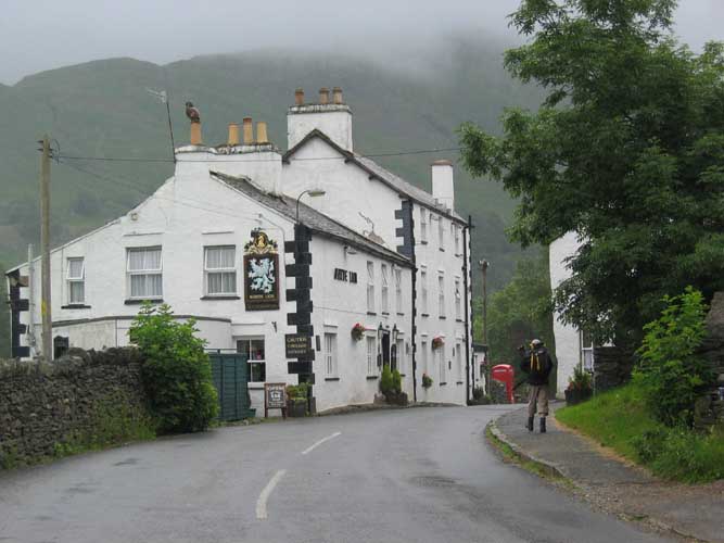
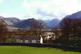
The route started in Patterdale, parking at the Patterdale Hotel car park
just up the road from the White Lion.
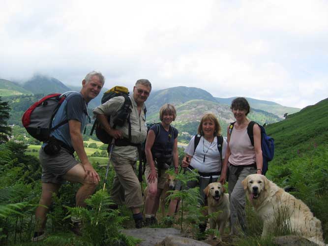
The "March followers" group - Roger, John, Jo, Ann and Jill.
 |
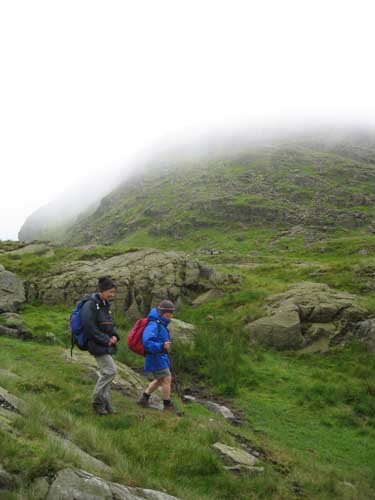
The first part of our route took us up the fell side towards Boredale Hause.
The weather was changeable to say the least and even this early in the walk we stopped for the second time to put on our waterproof jackets. In between showers the air was warm and humid making the walk harder than it should have been. Behind us Ullswater was in bright sunshine one minute, hidden by the rain the next. |
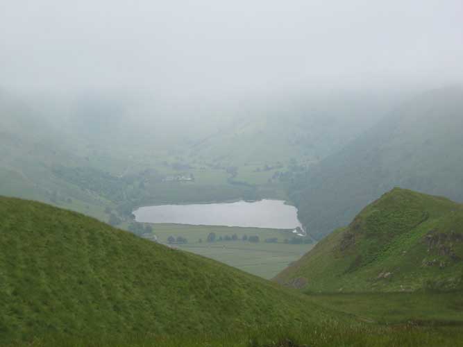
A glimpse of Brothers Water as we traversed across Stony Rigg towards Angle Tarn Pike.
Sunshine on the Nab, but shadows on Angle Tarn Pikes, the first summit of the day.
In the distance was the ridge of Loadpot and Wether Hill, and somewhere there was the other half of the party, who should by now be well into their walk. They seemed to be having better weather further East.
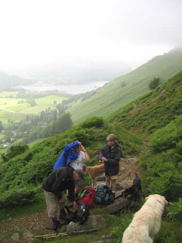
Ann takes to the high ground overlooking Angle Tarn.
Our route was to take us along the path to the left of the tarn itself.
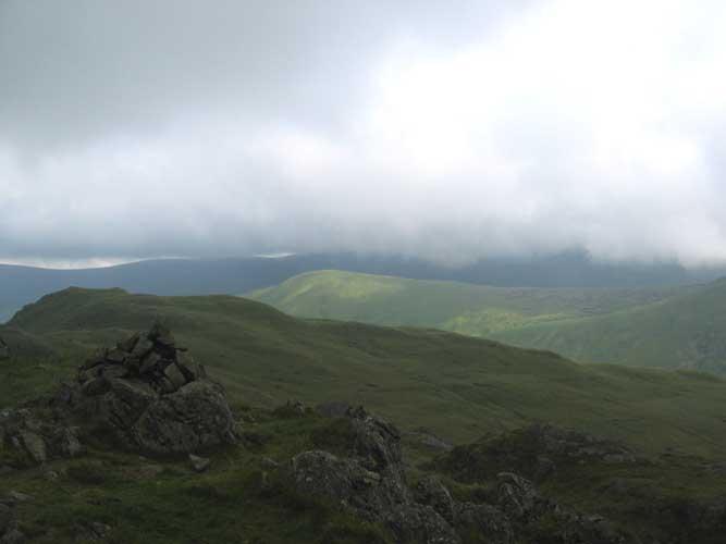
Satura Crags passed without a view
and the summit of Rest Dodd rewarded us with similar grey surroundings and wind strong enough to raise an ear or two !
The weather continued changeable, with several short stops to warm up, cool down, waterproof ourselves, take off coats to cool down . . . It was one of those days.
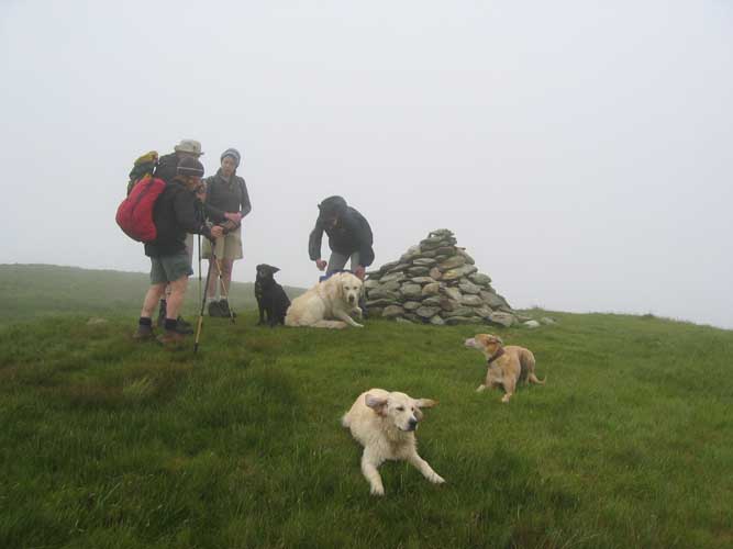
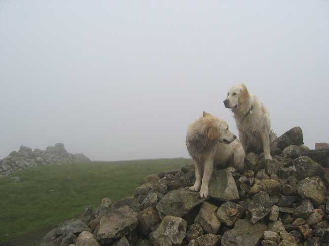
The Knott summit, easy to find in the mist by following the wall across and up from Rest Dodd. Again no view so a picture of the first two to the summit - Harry and Bethan!
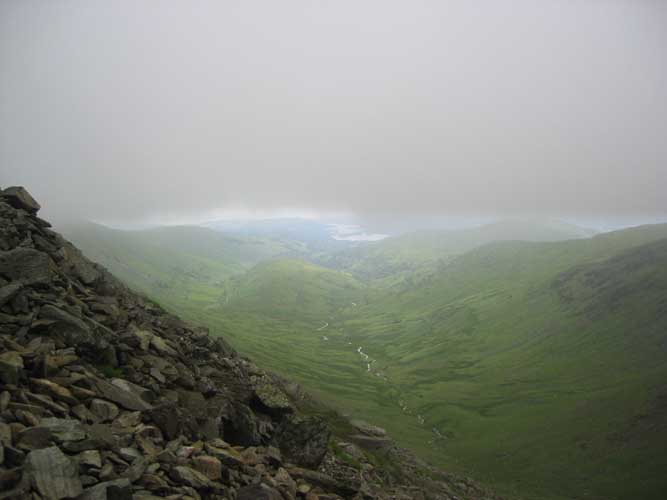
The Straights of Riggindale looking down on Haweswater.
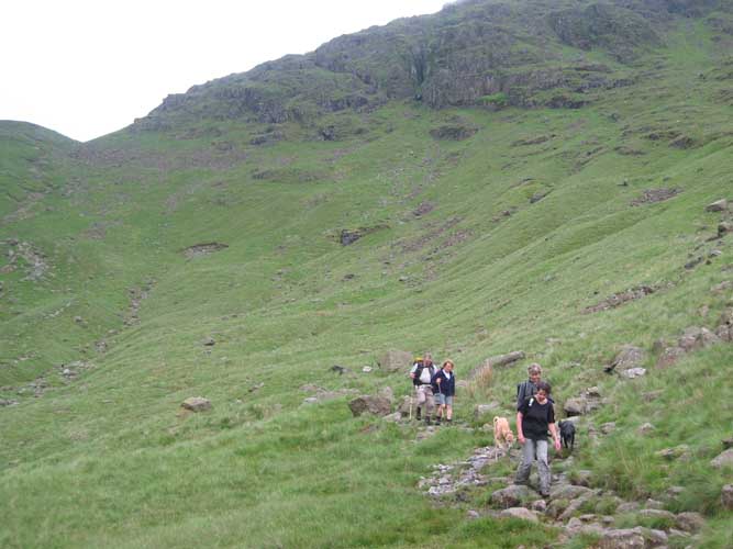
We arrived here just after 2 pm, and contemplated the whereabouts of the main group. Were they in front or behind ? An answer-phone message an hour before had placed them at Lowther House but reception was so intermittent that it was impossible to check their current position or even listen again to the message.
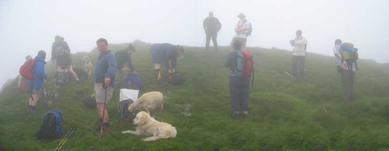
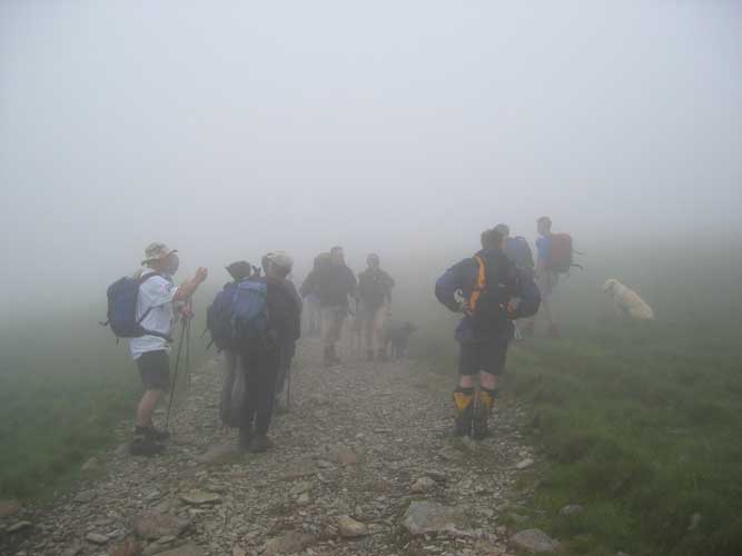
Just as we got out the sandwiches out the mist cleared and on on the horizon was a rough band of marching folk.
They were equally hungry as us, and seemed to welcome the chance to rest a while.
No time to lose though, still another ten miles to go so the combined party placed one foot in front of the other and hit the Roman road once again
Somewhere just down from the true summit of High Street.
The leaders stop in order that the back-markers could catch up.
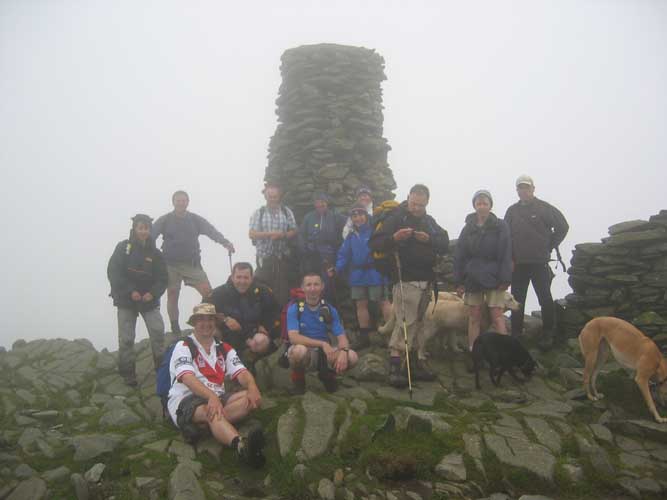
A full group photo (minus the photographer) at Thornthwaite Beacon.
At the back: Jill, Andrew, David, Anne, Ann, Jennifer, John, Jo and John.
Sitting or crouching down: Ste, Stuart and our leader Pete (Burgess).
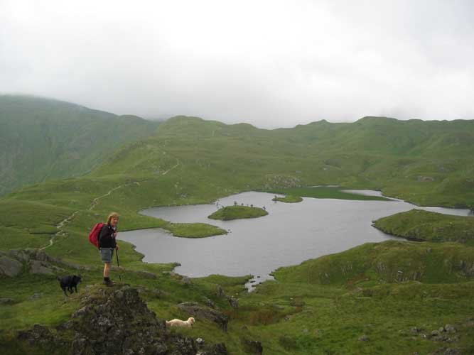
Having achieved our aim, the secondary group split off down towards Threshwaite Mouth
and back towards Hartsop, the end of our walk.
The main group, however, descended via Scott Rake and passed to the left hand side of Troutbeck Tongue, seen here in the middle of the picture. Ahead was Windermere and their journey's end - GALAVA.
 |
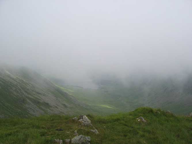
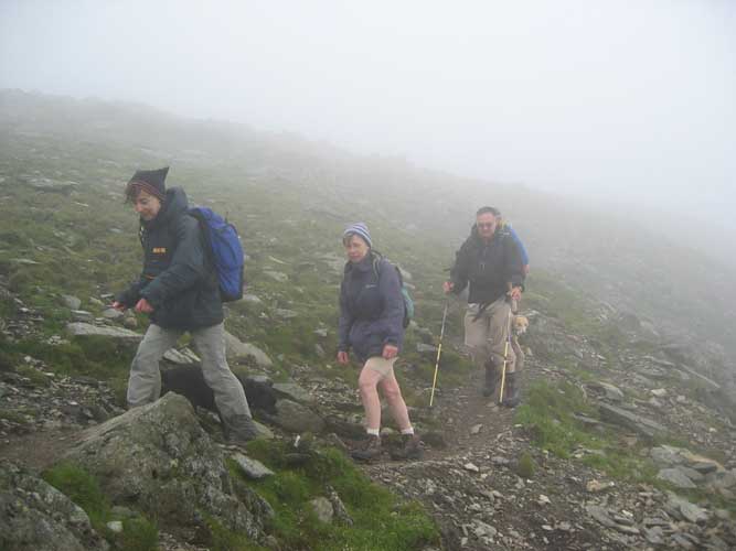
Losing height rapidly on the rough track we reached the col of Threshwaite Mouth, and descended below the cloud base once again. The scenery was impressive as the strong breeze funnelled through the gap, and carried the cloud across the hillside opposite.
From here we continued on down, occasionally on constructed stone paths. Care was needed as the wet stones were occasionally slippery and were certainly hard going on the joints. These new pathways are a delight to climb but less attractive in reverse !
|
The steepest part over and it was now a case of following Pasture Beck down the valley.
Jill and Jo with Jo's dogs Jodie and Megan. Ann and John behind.
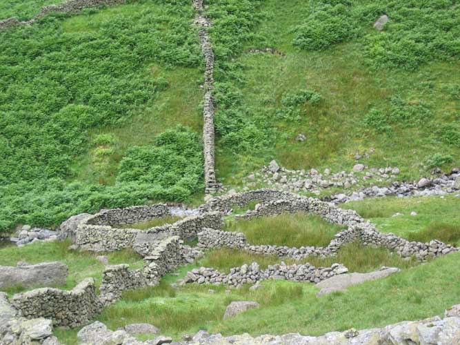
The prominent sheepfold half way down, and a subject of conversation.
What was the real purpose of these upland folds, and why have they been abandoned by today's farmers ?
The last leg now as we turn towards Hartsop
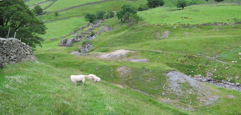
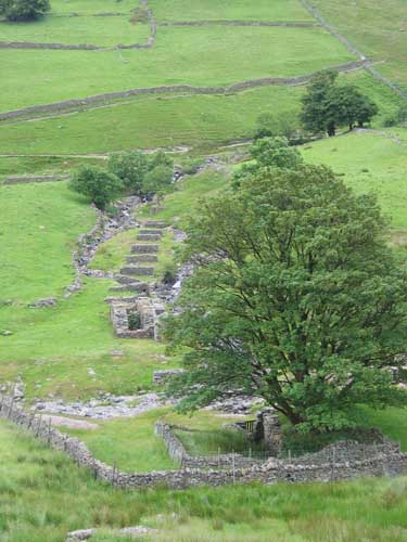
Across the valley is the unique wall structure that forms part of the old Hartsop Mine. The walls carried the aqua duct or mill race that fed the large waterwheel in the final section. Most likely then was a shaft drive across the stream to operate bellows or pumps to ventilate and drain the mine workings
Behind the dogs are the spoil heaps of the old workings.
 |
 |
The alignment of the wheel and the mine. |
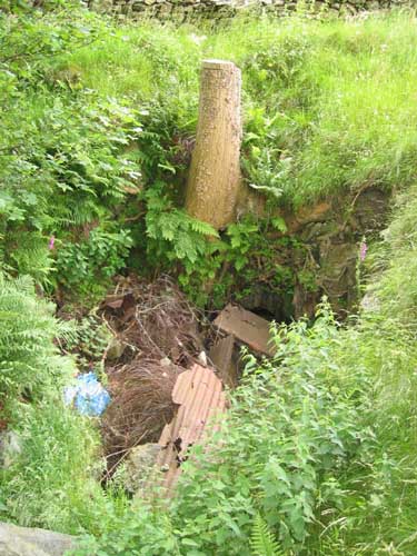
The mine entrance now blocked to prevent access. |
From here it was a brief walk back to the second car paced strategically at Hartsop car park, a quick trip to collect the other left at Patterdale, and then a drive over Dunmail Rise to greet the main party at the end of their walk.
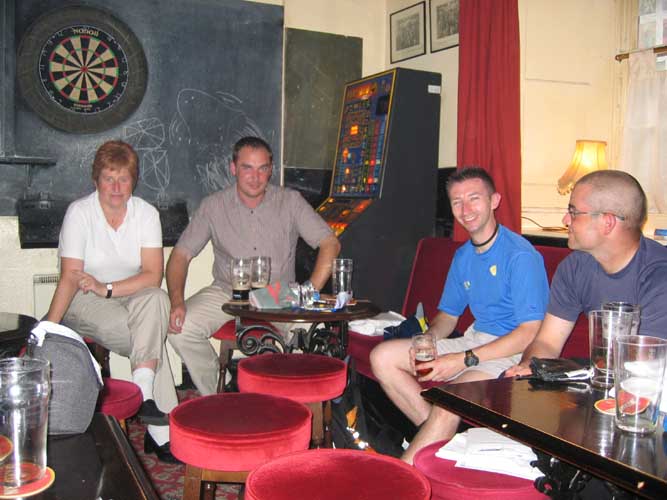
Journeys end - the Golden Rule, Ambleside.
 |
 |
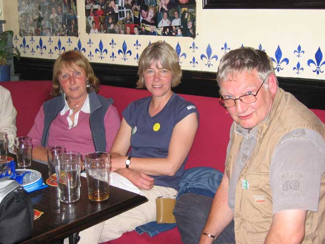
Lorraine and Ste, Pete and John. |
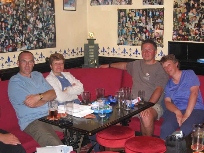
David and Jennifer, Andrew and Anne. |
 |
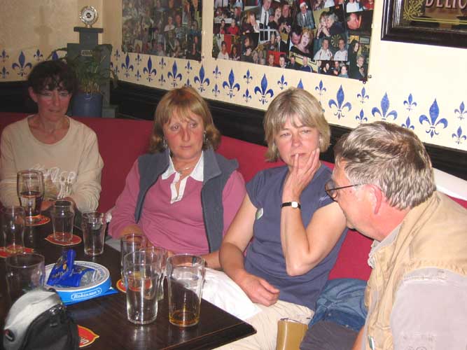 |
Ann, Jo and John. |
. . . with the addition of Jill in the corner. |
(Apologies to Stuart who missed out on the final photos)
While walking with the main group it was noticeable that they had been walking considerably faster than we had been. This confirmed our decision to lead the second group on an alternative route. Our walk was nine miles and seven and a half hours against their 25 miles and ten hours, but the beer tasted equally as good !!!
Technical note: Pictures taken with a Canon IXUS 400 Digital camera.
Resized in Photoshop, and built up on a Dreamweaver web builder.
This site best viewed . . . with a copy of Peter's Roman Walk booklet.
( Available on request from www.fellwalkingclub.co.uk )
Go to Top . . . Home page . . . Go To Archive 2005
© RmH . . . Email me here