|
|
|
 |
Remember: Press F11 for a
full screen view of this page. |
Web Counter when published 2
148 040 |
|
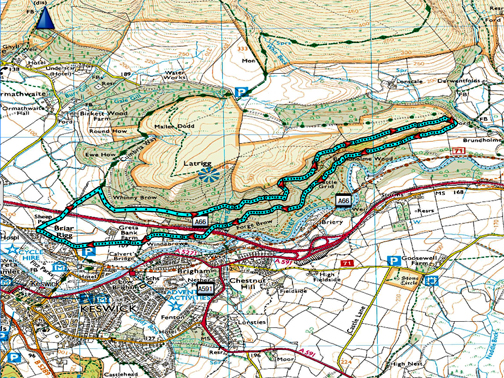
" Brundholme Woods below Latrigg " Date & start time: 16th March 2024. 10.20 am start. Location of Start : Spooney Green Lane, Keswick, Cumbria, Uk. ( NY 267 241). Places visited : Spooney Green, Brundholme Woods, back via the (closed) Windebrow road. Walk details : 4.6 miles, 750 ft of undulating ascent, 1 hours 55 mins. Highest point : On the permitted path , 812 ft - 250m, 450 feet above the river. Walked with : Loes and the dogs, Dylan and Dougal. Weather : A dry and sunny day with lifting high cloud.
|
© Crown copyright. All rights reserved. Licence number PU 100034184. |
|
The fine weather takes us out of the valley and over to Keswick, where we park at Spooney Green Lane for a walk towards Latrigg. For a change we head off right, into the woods, on a lower but still a gradually climbing path along the side of the fell. Our return route would be on the old tarmac road slightly lower down and closer to the river, neither of which routes I had walked in full before.
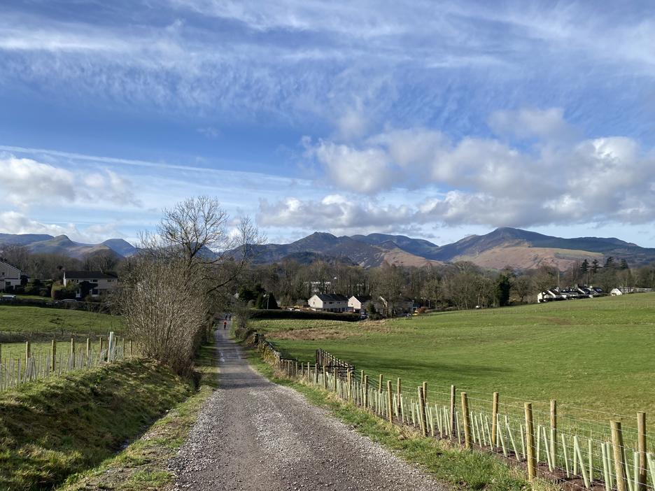
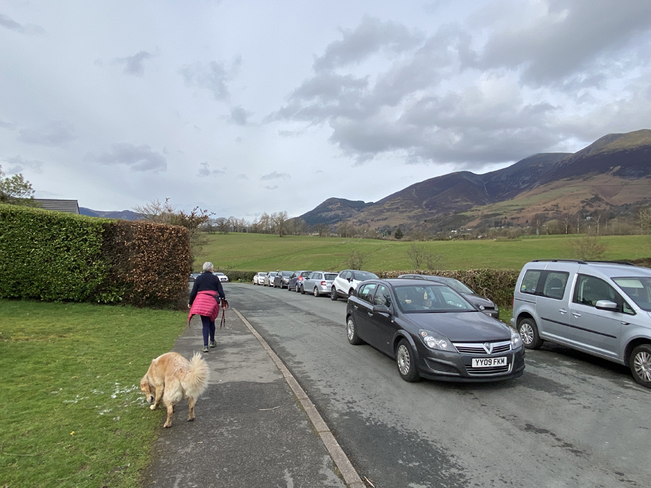
Parking was tight but we found a spot at the foot of Spooney Green Lane. Looking back at the start you just know it is going to be a fine day. The fells in the distance . . . Dale Head and Catbells (to the left) Causey Piker (central) and Grisedale Pike and the NW Fells (to the right).
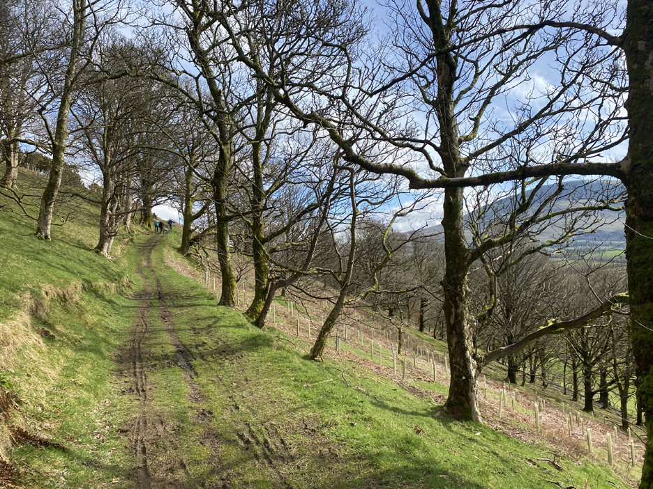
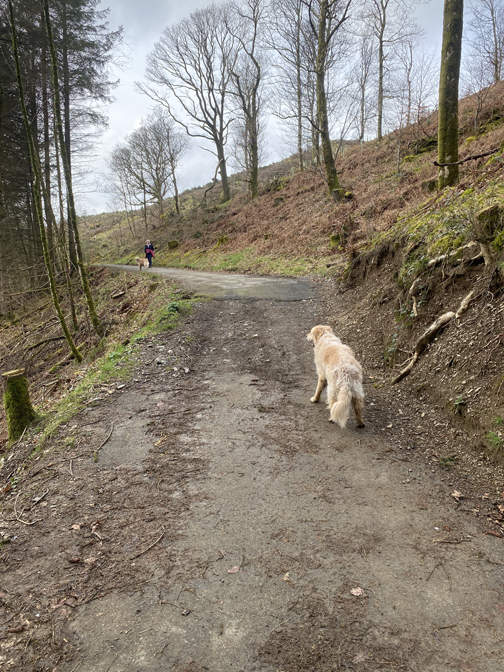
The start of the climb towards Latrigg . . . lots of folk about including walkers, runners and mountain bikers. A couple of fast moving fell runners have already passed . . . on their way down !
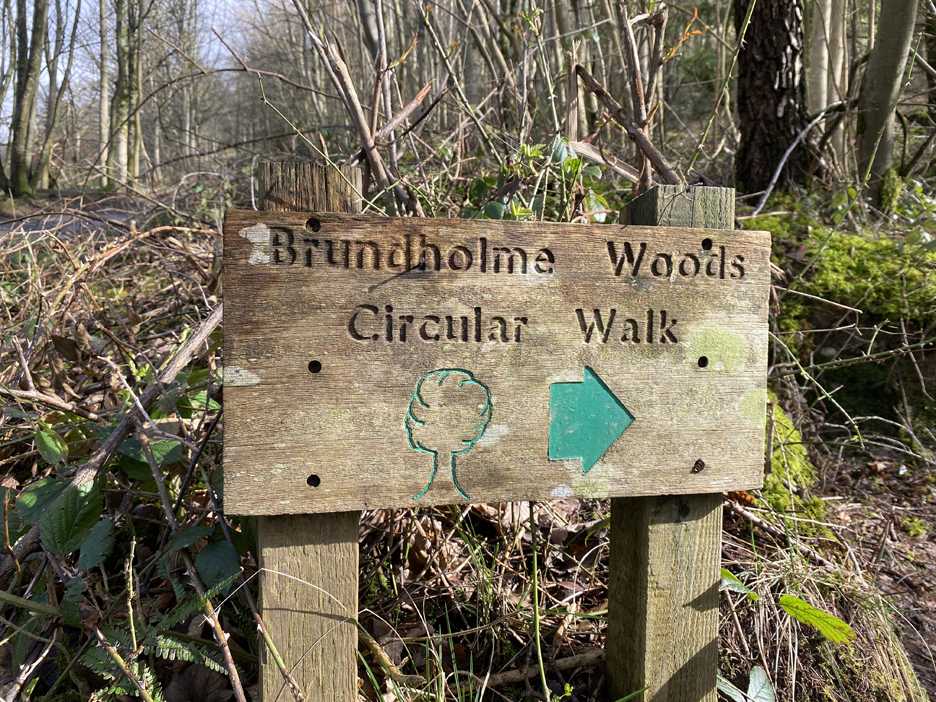
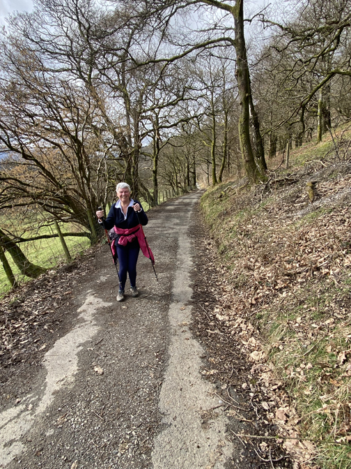
Loes fancies a woodland walk, which means Dylan doesn't have to do the full climb to the summit. A sign full of confidence at the junction, but it was the last one of its type we would see.
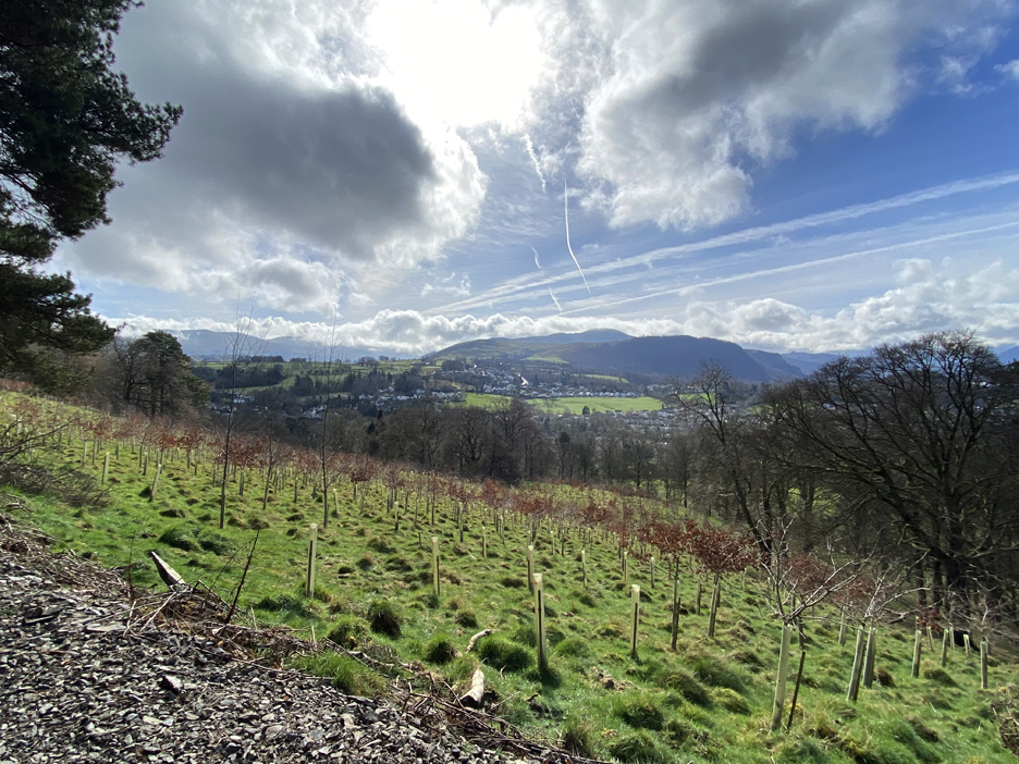
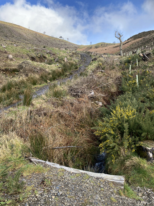
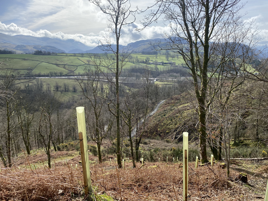
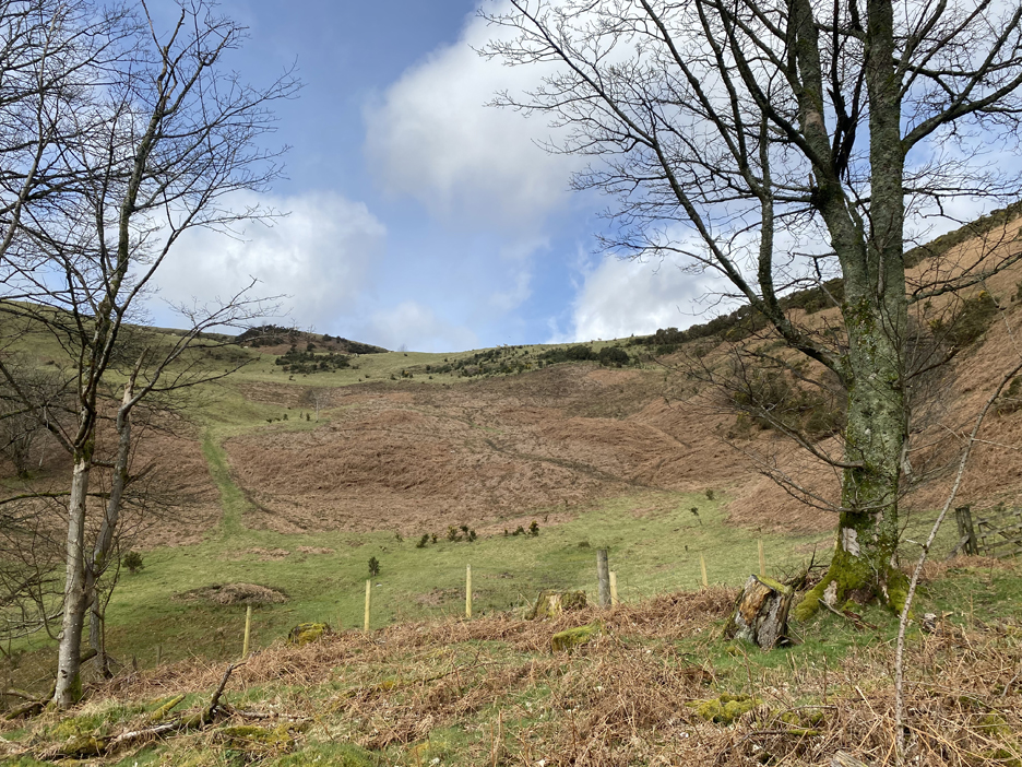
Newly planted woodland extends up to the top of the field we are passing beside. The lower end of the same planting reaches down quite some distance and can be seen in passing from the A66.
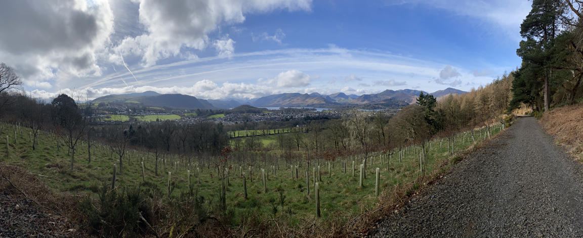
The bigger picture . . . a 90 degree panorama, looking down to Keswick and away across to the high fells. Click here or on the photo above for a better and slightly larger annotated version
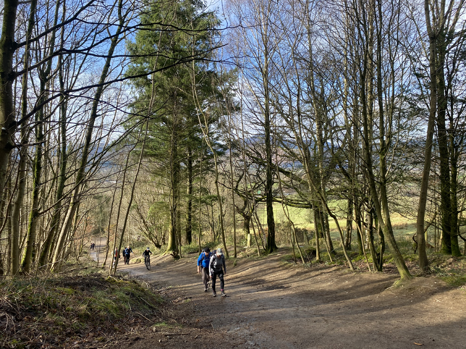
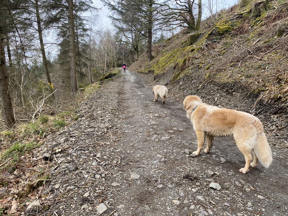
The track climbs steadily and crossed a part of Latrigg that was felled for timber a few years back.
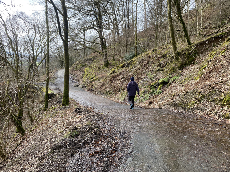
There's the old road below and the other forest track has dipped to meet it. I'm rather glad we took the alternative route.
The open ground above the woods, the ridge is not that far above us here.
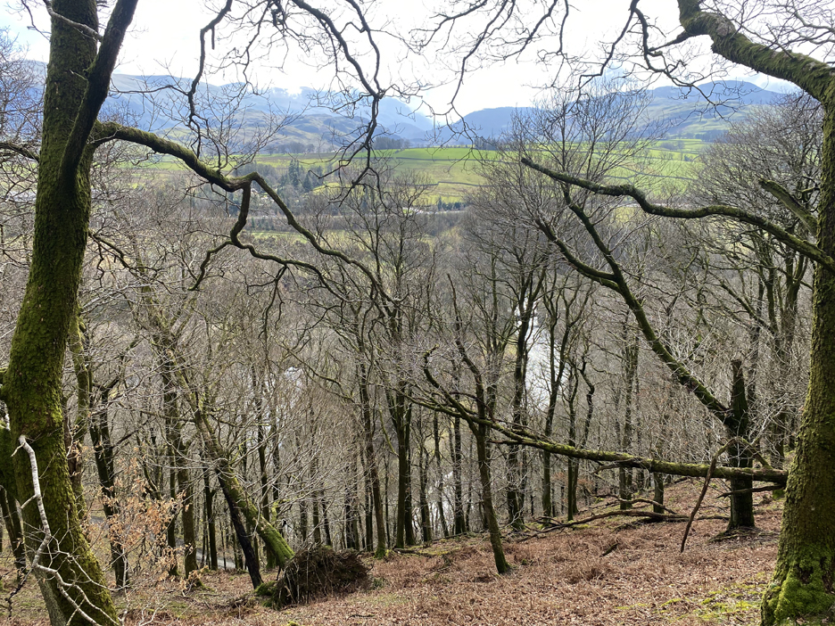
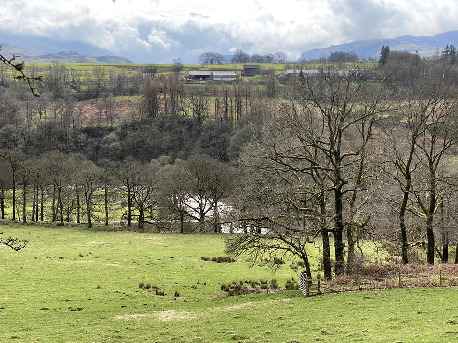
Looking down, the old woodland is thick enough to block most views. Being late winter it is however still clear of leaves and so we can make out one of the railway footpath bridges crossing the river below.
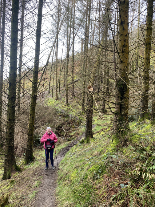
Untouched by recent forest vehicles, the path turns green as the woodland comes to an end. Just the tracks of boots and a few bikes mark the surface.
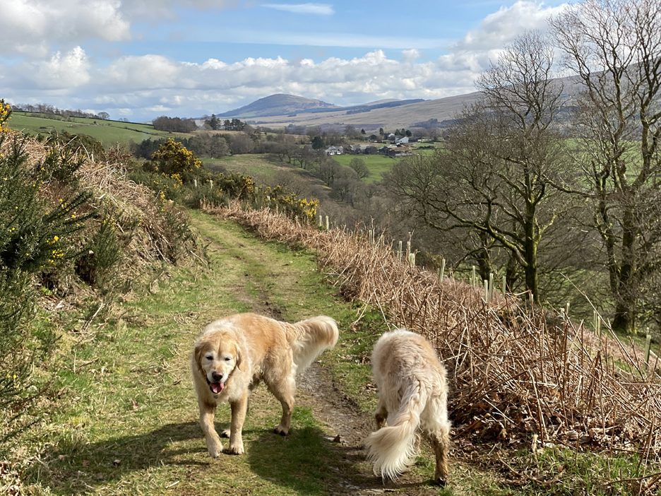
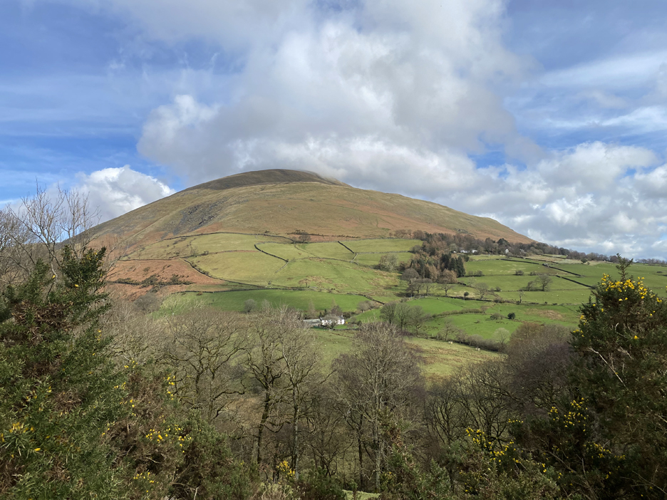
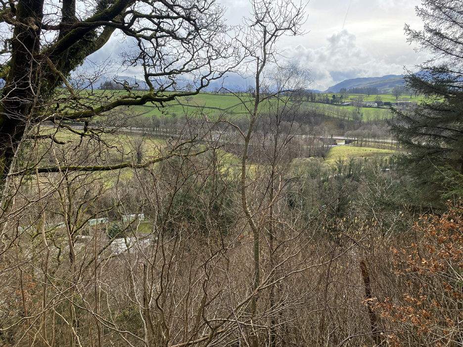
The views ahead open up to reveal Great Mell Fell and presumably Little Mell fell above the trees to its right.
Ahead, as clear as day, is Blease Fell and the path up the western end of Blencathra. You can also see the white Derwentfolds Farm building and, further up in the trees, the Blencathra Outdoor Centre.
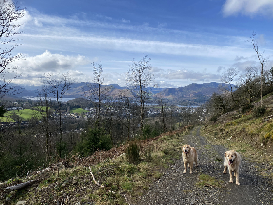
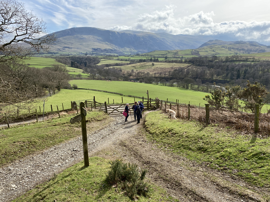
Where the track descends to meet the old tarmac road at the eastern end of Latrigg, Loes found three ladies to chat to. They were after local information as to the various paths onto the fell, so hopefully they were reassured as to their route. In the distance, the cloud has gradually lifted but is still not clear of the Helvellyn Summit.
Tree-mendous views . . . this time of High Rigg and the western Thirlmere fells.
The only storms in view today is Storms Farm on the other side of the river Greta. The path down below us is the old railway track, including one of the many bridges across the river.
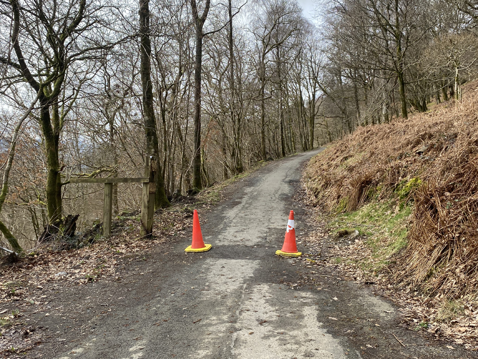
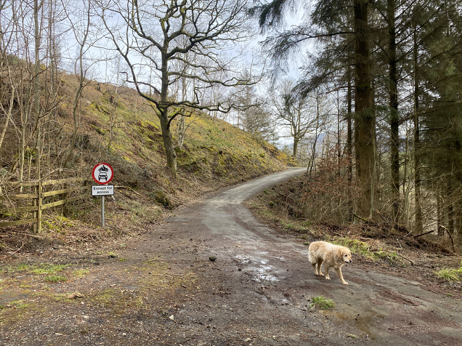
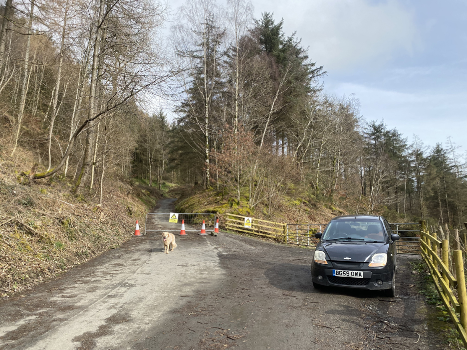
The road has been closed for so long that the gate has rotted and just two cones discourage onward travel by vehicle.
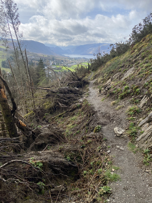
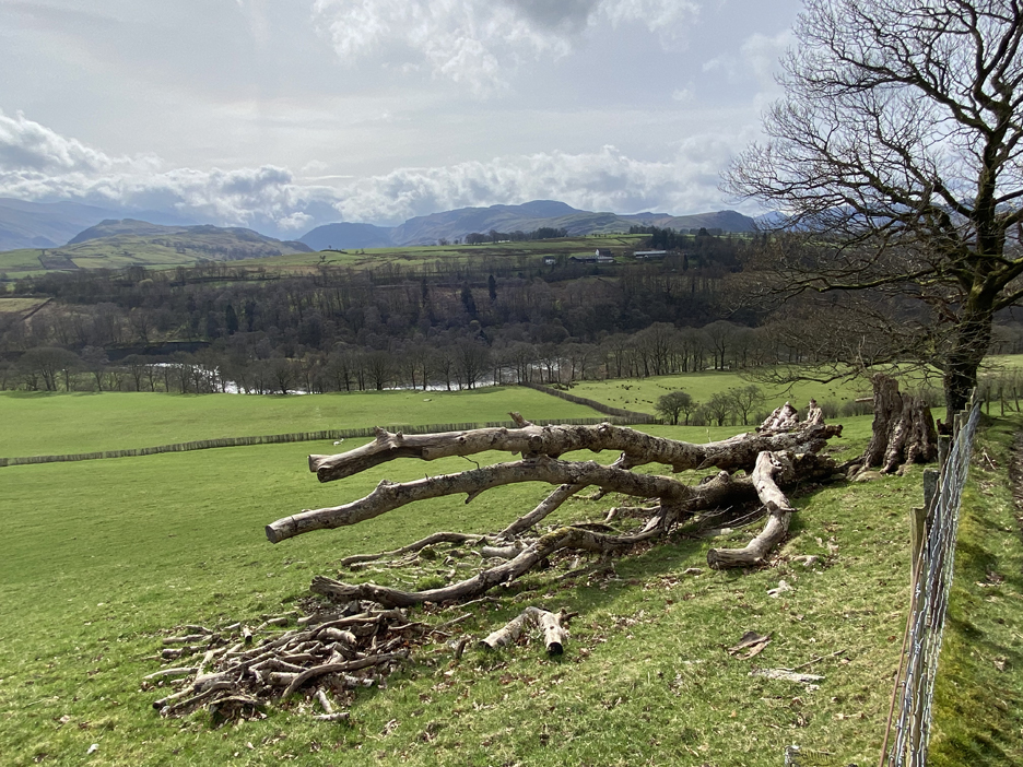
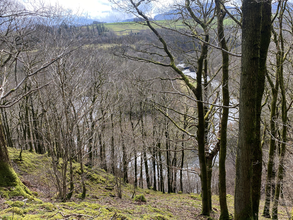
The big bend in the river seen through the trees. Another old bridge is visible above the forked branch of the tree. The steep nature of the ground is probably the cause of the problems with the road.
Round teh next corner it was difficult to ascertain the old road level under the debris that has fallen from the adjacent bank.
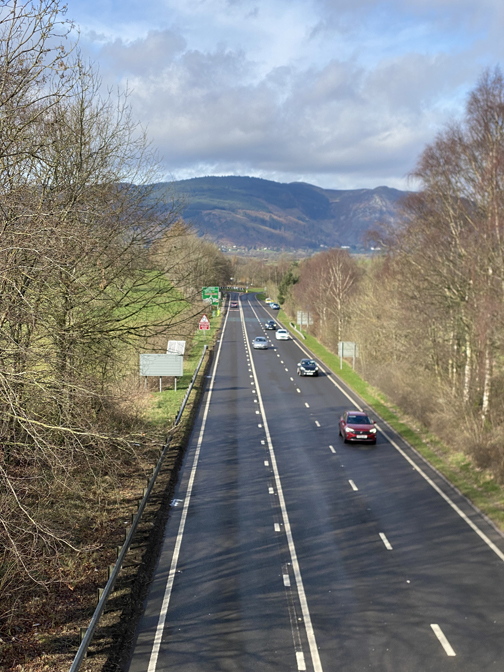
Soon views down through the trees shows the caravans at Low Briery and the A66 Keswick (east) road junction.
The end of the damages section of road is marked by a small sign.
Strangely another barrier further down reinforces the closure a second time. Presumably the forestry don't want the upper area to be blocked by parked cars.
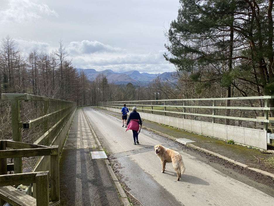
The bridge over the A66 is now virtually redundant for all but occasional forestry vehicles . . . and local walkers of course.
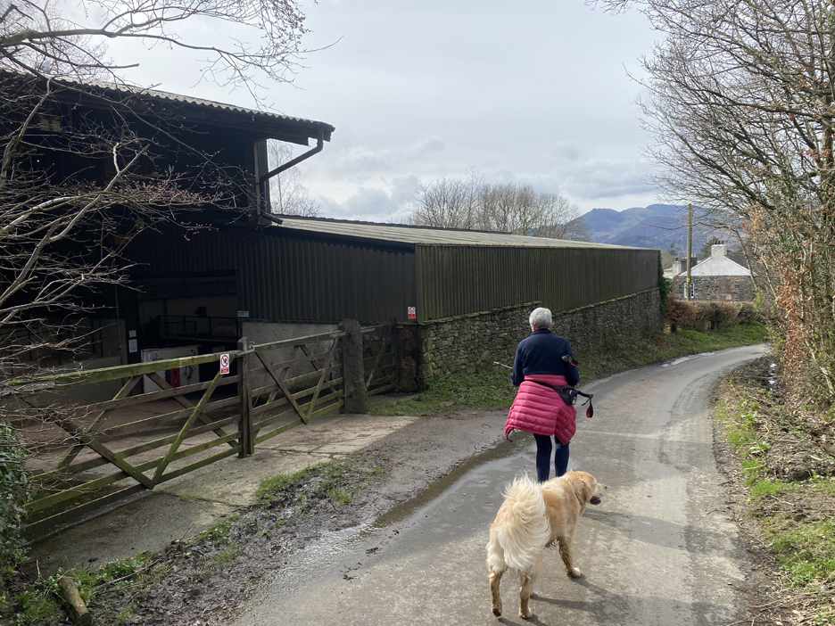
The road heads back down past the Calvert Trust stables.
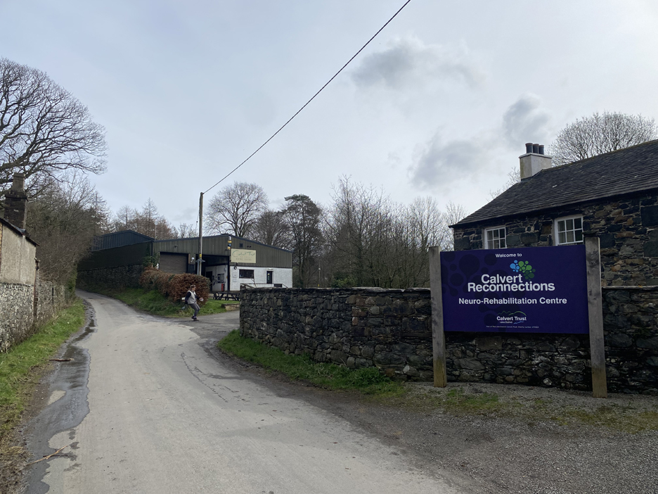
The centre does a lot with both holidays and rehabilitation of people with handicaps of all kinds. [Ann used to volunteer here, helping with 'riding for the disabled' for many years]
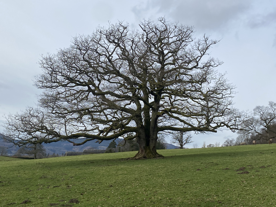
A photo of a rather grand 'field oak' close to the road . . . makes a change from pictures of Herdwicks !
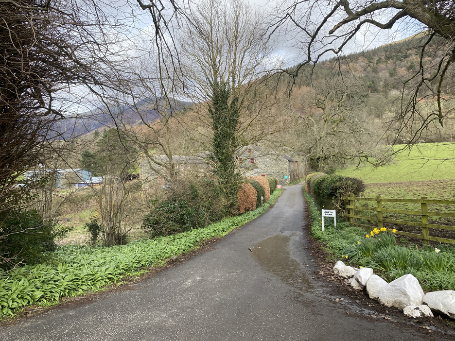
Greta Bank Farm is also home to a commercial veterinary practice.
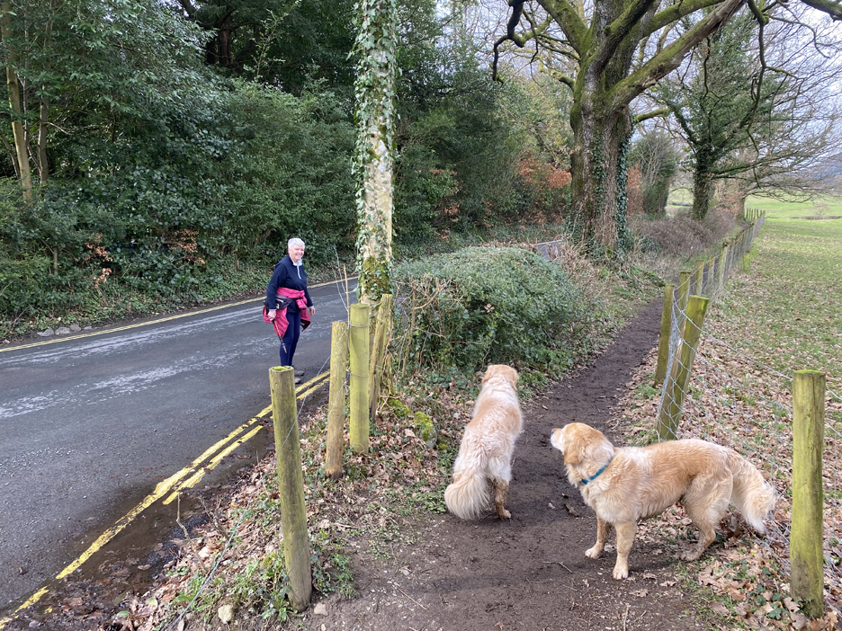
Two confused dogs . . . should they follow me along the footpath or join Loes on the road ?
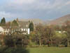
Either way, all routes lead on the short distance back to the houses at Briar Rigg and to Spooney Green Lane where we parked the car and started our walk today. - - - o o o - - - Technical note: Pictures taken with my iPhone 11pro mobile phone camera. Resized in Photoshop, and built up on a Dreamweaver web builder. This site best viewed with . . . the satisfaction of walking new routes for a change. Go to Home Page . . . © RmH . . . Email me here Previous walk - 15th March 2024 - St Bees Priory Light show A previous time up here - 9th January - Latrigg and the Railway Path Next walk - 19th March 2024 - Holme Woods Tree Planting
|