|
|
|
 |
Remember: Press F11 for a
full screen view of this page. |
Web Counter when published 2
145 630 |
|
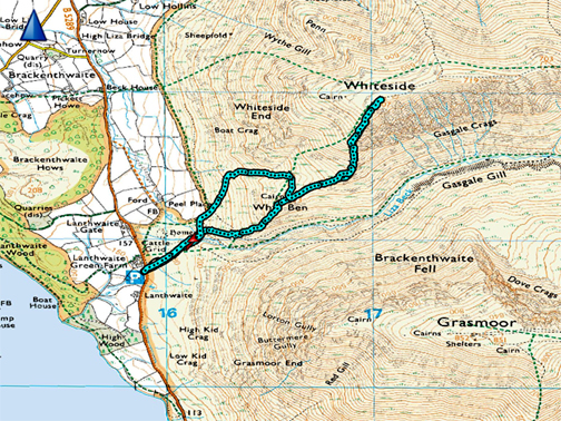
" Whiteside Snow " Date & start time: 3rd March 2024. 2pm start. Location of Start : Lanthwaite Green car park, Crummock, Cumbria, Uk. ( NY 159 208). Places visited : Liza Beck, Whin Ben, Whiteside top and back. Walk details : 2.7 miles, 1780 ft of ascent, 2 hours 15 mins. Highest point : Whiteside, 2,298ft - 707m. Walked with : Myself and Dougal. (Dylan and Dougal on the first walk). Weather : Snow on the fells, a gentle breeze, sunny with cloud above the tops
|
© Crown copyright. All rights reserved. Licence number PU 100034184. |
|
A morning walk around the valley with both dogs, but the snow covered fells looked so inviting that I headed out again after lunch for a simple ascent of Whiteside from the valley. Leaving the second dog at home is difficult, but it has to be done, due to the steepness of the climb on that second walk.
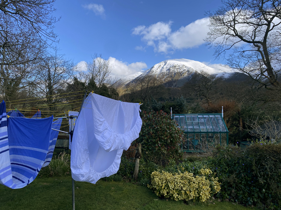
It's a grand day to do some washing, the gentle breeze will blow out the clothes . . . but I have a feeling they may be freeze-dried rather than blow dried.
Once that chore was out of the way then there was no time to waste on this beautiful day Time to take the dogs out for a walk.
- - - o o o - - - But this weather is too nice to do just a local valley walk . . . and Dougal needs more exercise than Dylan, so after lunch I gather a few items in a bag (coat hat, gloves, microspikes, dog treats) and with number two dog at my heals, we head off to the snow.
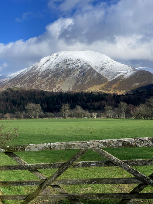
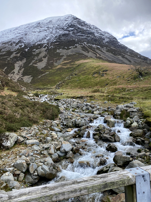
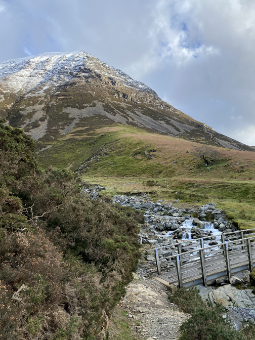
The second walk of the day started from Lanthwaite Green car park. By using the car for the short trip to the start, I avoided about fourty minutes walking up and back through Lanthwaite Woods, after all I had done a fourty minute walk this morning . . . and time was getting on !
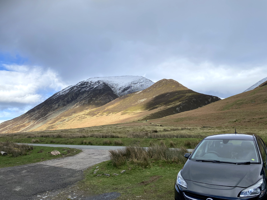
The first objective was the non-snowy outlier, the summit of Whin Ben.
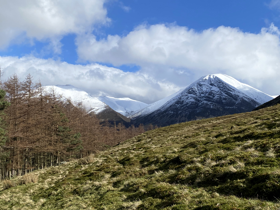
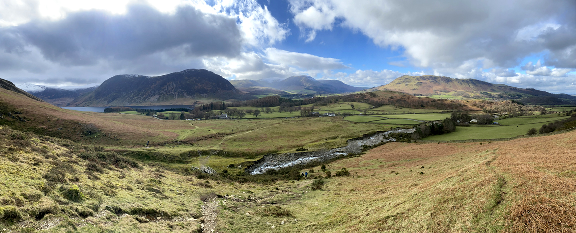
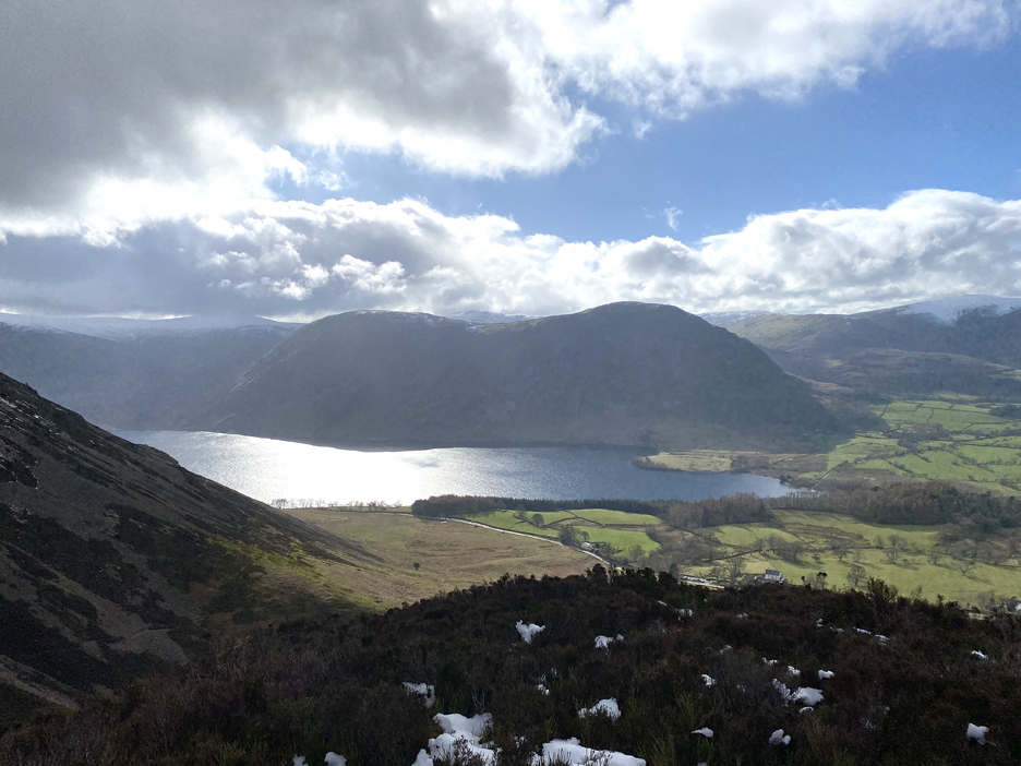
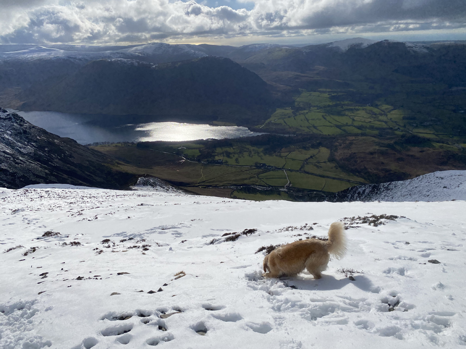
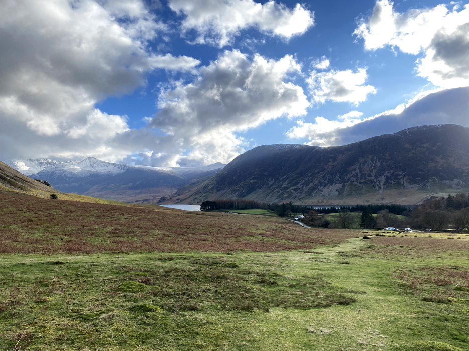
Looking over my shoulder, there's a rather nice view of Mellbreak, Low Fell and the distant Loweswater Fells seen across the flat farmlands and higher moorland of the Lanthwaite Green area.
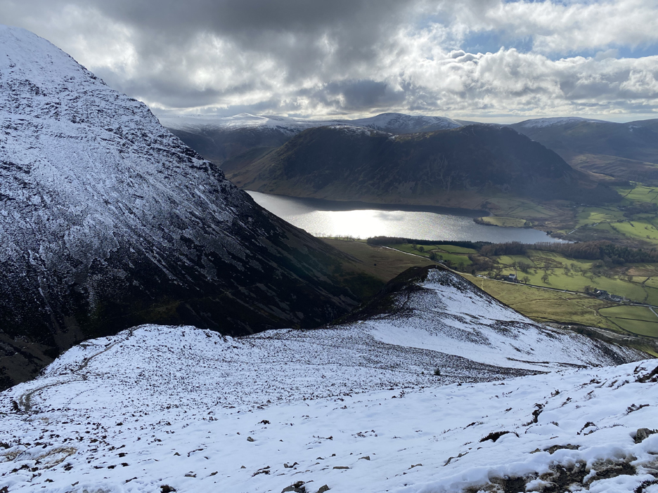
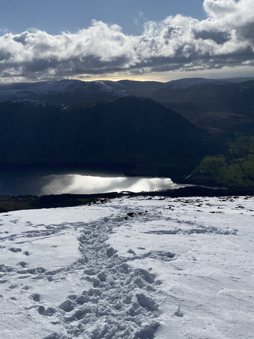
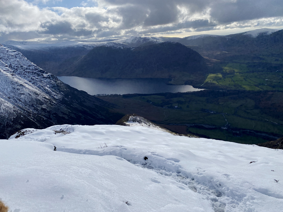
The sun sparkles beautifully on Crummock, now quite far below.
The grassy summit of Whin Ben. First pictures of the day showed snow on this summit, but the above-freezing air temperature and sunshine has caused it to melt.
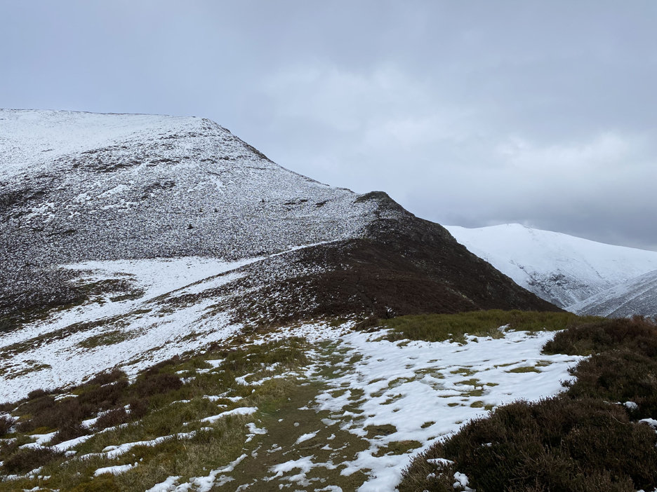
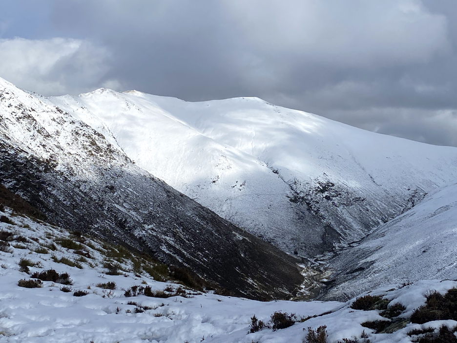
The path through the rocks was relatively easy and the views from the climb were amazing. This was the sunshine reflecting off deep snow on Hopegill Head and Sand Hill.
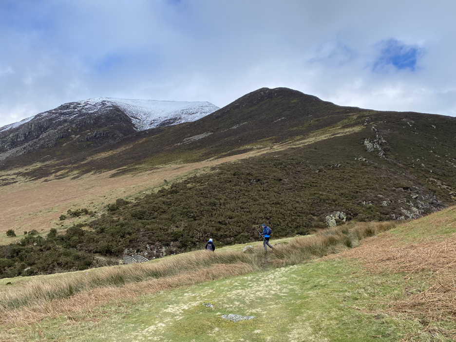
Looking back at Whin Ben . . . not a soul about. The couple I met earlier have either hidden, given up the climb or have headed up the valley path.
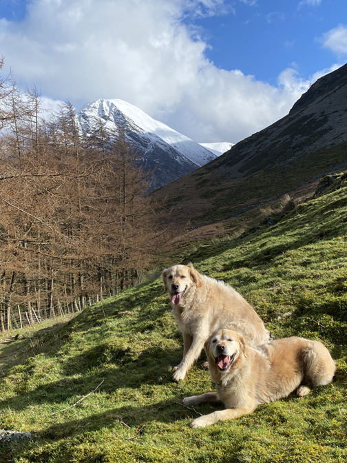
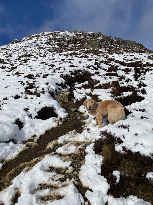
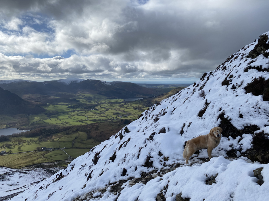
Dougal kindly pauses for a moment so that I can include him in the picture. This is the start of the steepest part of the climb
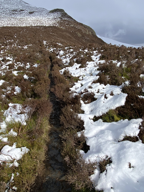
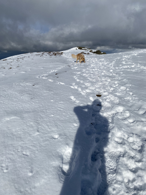
Few photos till the slope eases and the summits comes into view. When taking this photo I stood on a hidden snow covered slab of smooth rock and ended up "sliding to the ground" rather heavily ! Whilst I was down I put the microspikes on my boots . . . memo to self . . . should have put them on when I though about it two minutes ago.
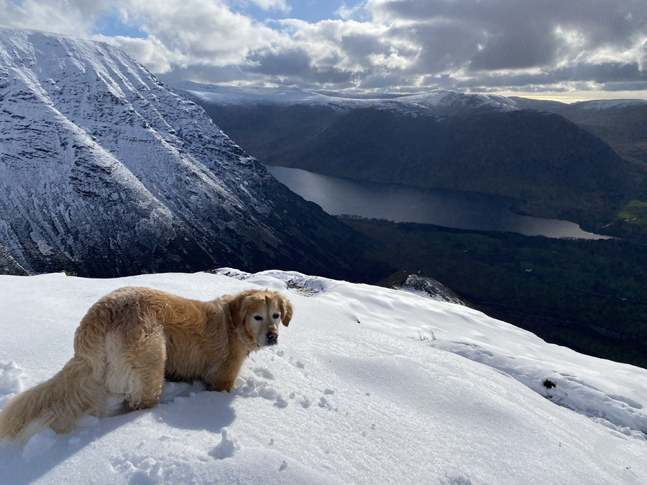
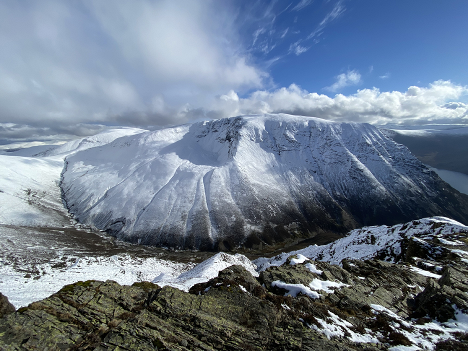
So many wonderful views to capture . . . this one of Skiddaw beyond the Whiteside summit, which is just yards away.
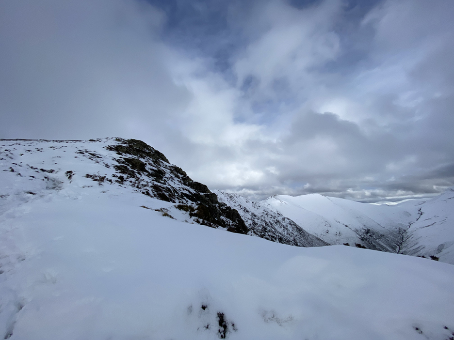
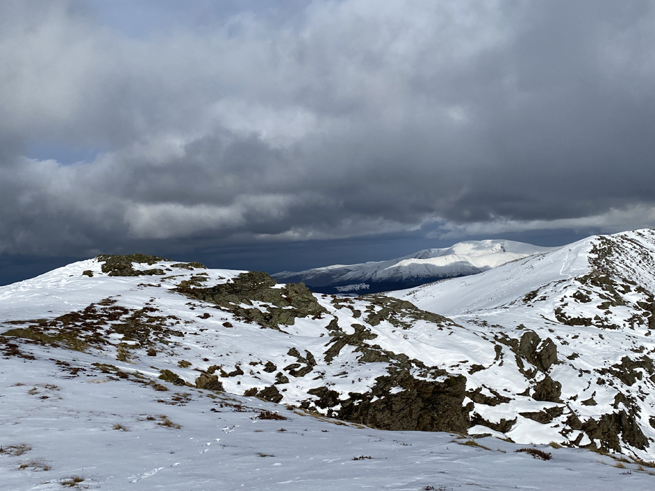
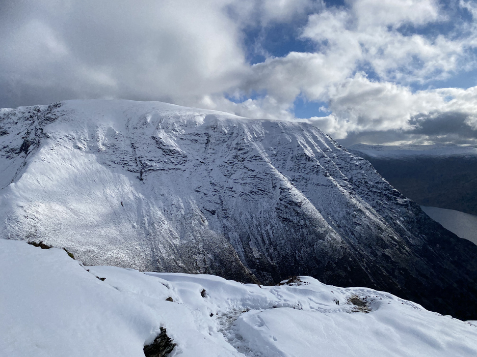
Another photo opportunity . . . The Whiteside Ridge which stretches into the distance as a delightful upland walkway . . . all the way to Hopegill Head.
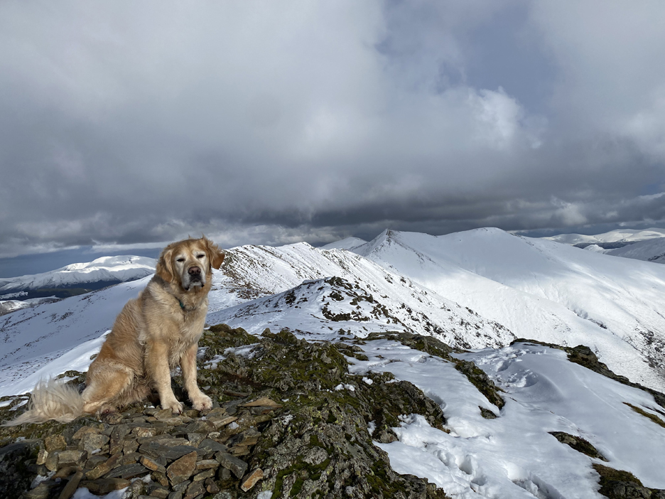
Dougal pauses once again, this time for a true summit photo.
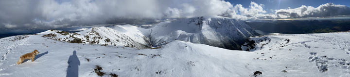
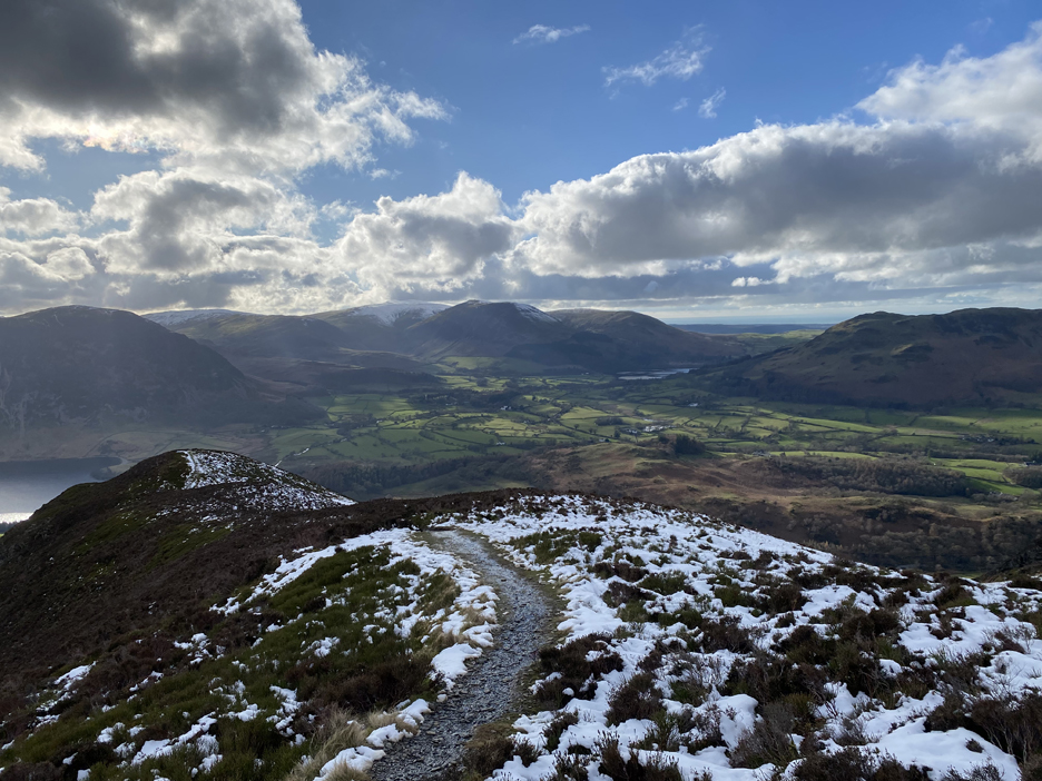
The view from the top of the world. Object achieved . . . a climb up to Whiteside summit to appreciate the snow. I thought about walking along the ridge and return down the Gasgale Valley, but time was against me due to the late start and Dylan still at home.
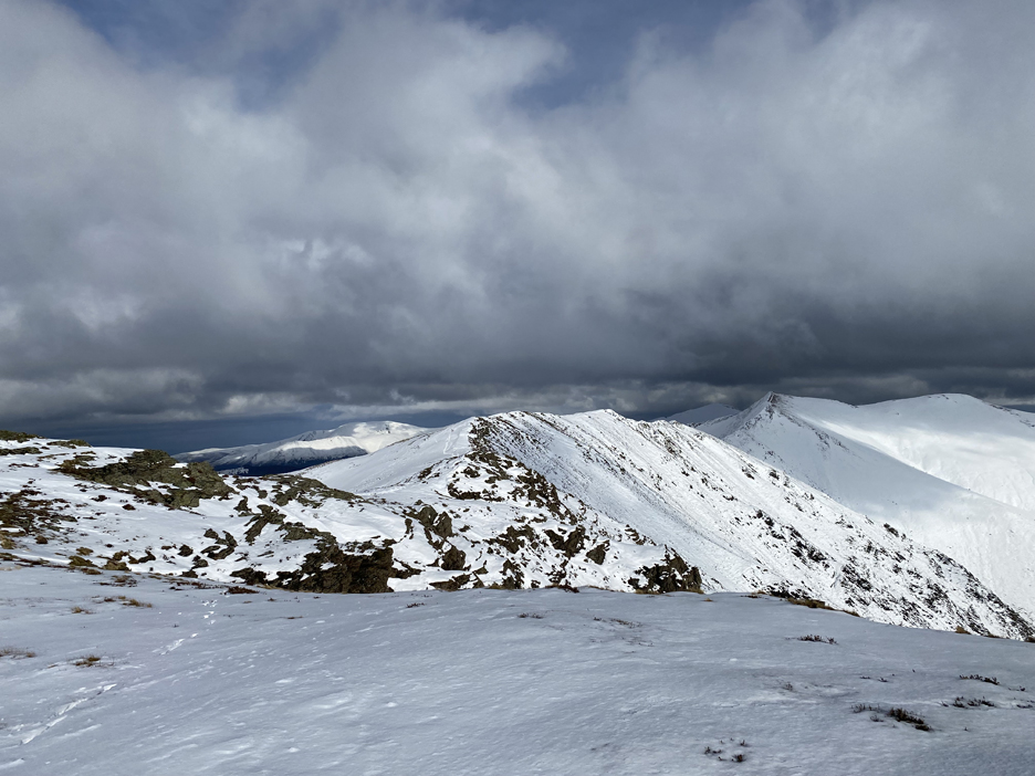
I turn to start the walk back down . . . but the views are still good and they stop me once again in my tracks. Click here or on the photo above for a larger annotated panorama
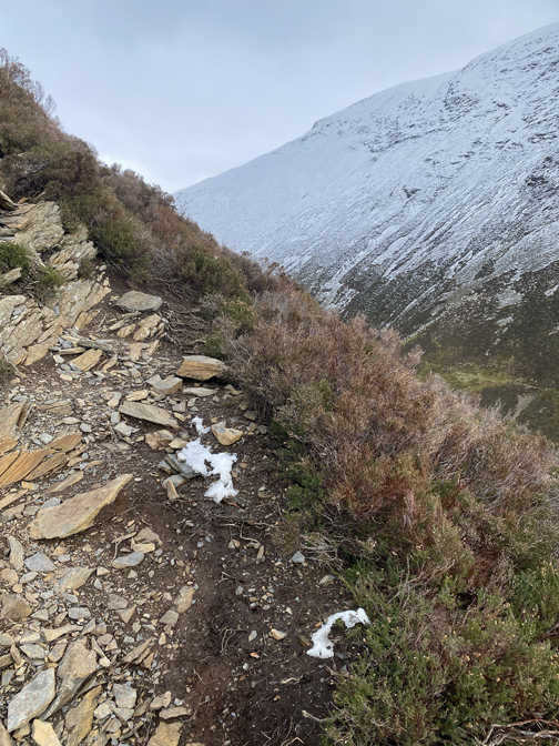
In places the snow had drifted into the hollows and was a foot or so deep.
That meant that snowballs were a distinct possibility and Dougal could chase then down the gentle slope.
Back to the steep section of the climb so time to concentrate now and not play snowballs any more . . . sorry Dougal.
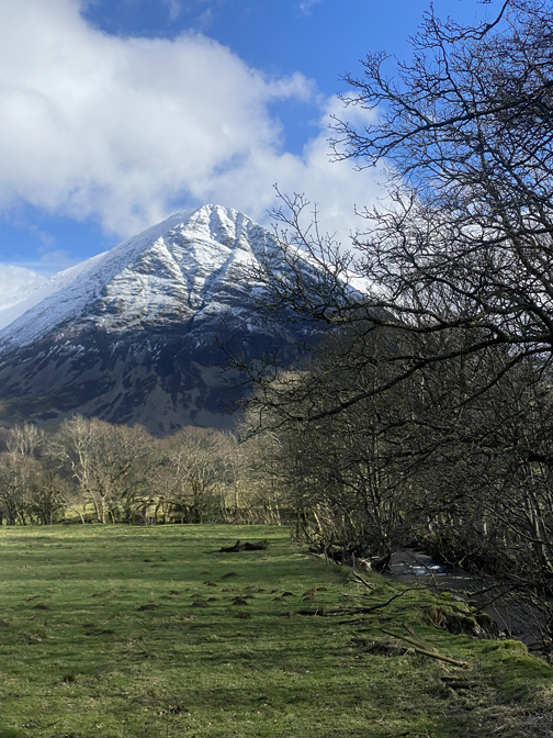
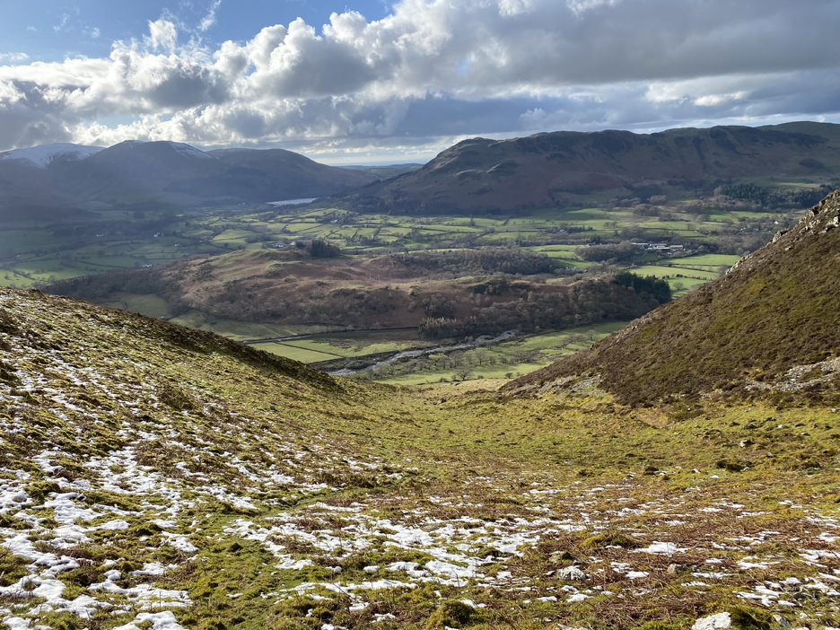
The clarity that you get on a fine winter walk can be quite exceptional, as the fell features are picked out in black and white. Grasmoor again with the dry hollow below Dove Crags which is starting to fill with afternoon shade.
The path heads for another steep section.
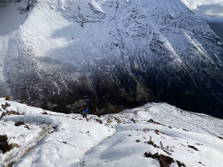
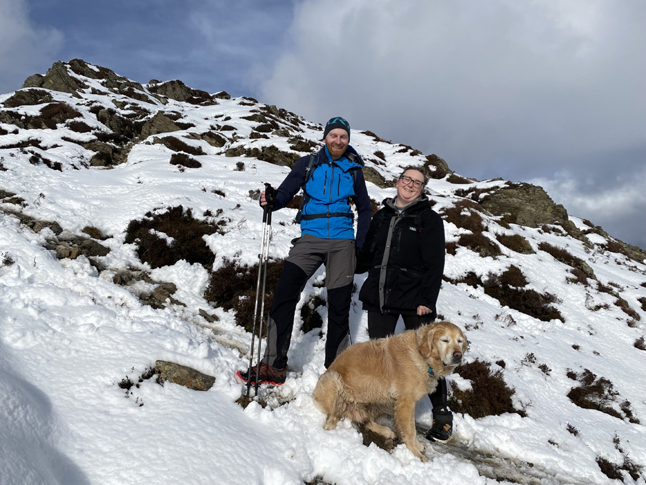
Ahh . . . the couple I met earlier did decide to stick to their plans and have climbed the fell.
This time we stop to chat and not just say hello in passing. Carolyn and Sam hailed from Carlisle and this would be approximately their 40th Wainwright summit to date. They plan to climb the rest on their future weekend walks. They have a dog like mine . . . hang on that's Dougal . . . he seems to have made instant friends with them.
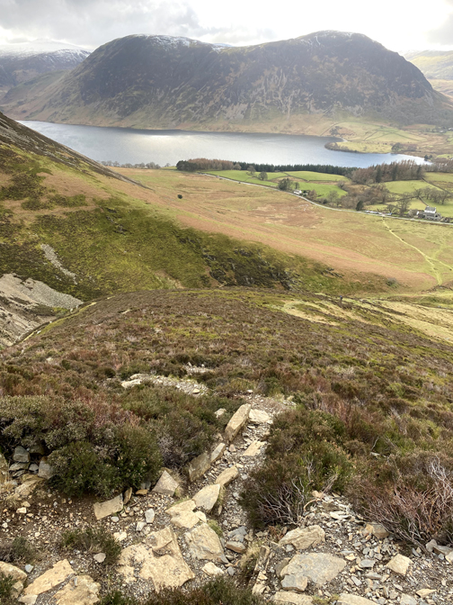
Checking Dougal was following, I continue on down towards Whin Ben. Rather than cross the last rock outcrop I opt to head off and drop down the easier grassy slope to the right.
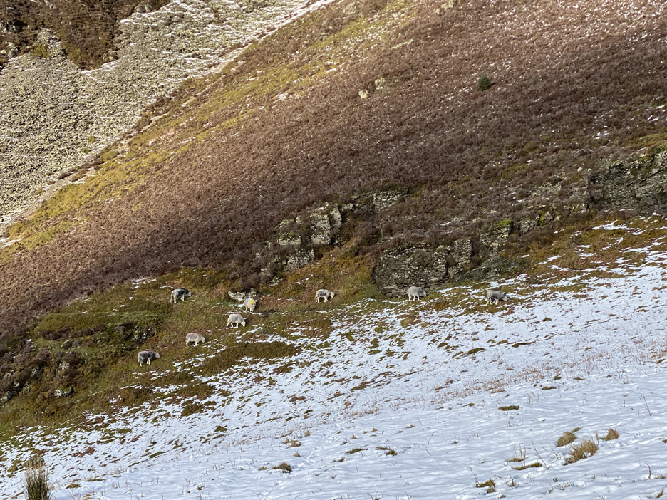
The local Herdwicks are out grazing the mountain vegetation even at this altitude. They stay clear of the snow but have climbed quite high for their late lunch.
I still had my microspikes on and this gave extra traction on the grass . . . except when they balled-up due to stepping on the wet snow.
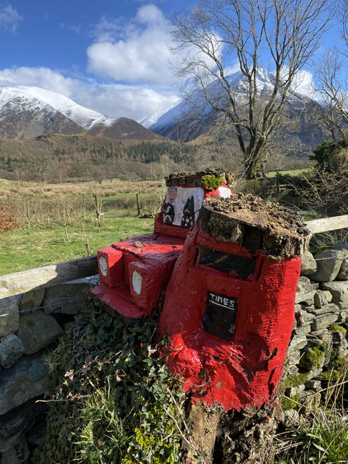
No need for the spikes any more as now it is just the clear flat ground that leads back to the car park at the end of the walk. - - - o o o - - - Technical note: Pictures taken with my iPhone 11pro mobile phone camera. Resized in Photoshop, and built up on a Dreamweaver web builder. This site best viewed with . . . the change of mountain atmosphere that comes with a change of colours. Go to Home Page . . . © RmH . . . Email me here Previous walk - 2nd March 2024 - Buttermere Round the Lake A previous time up here - Saturday 10th Sept 2011 Five go to Whiteside Next walk - 4th March 2024 - Honister Drum House
|